Kilimanjaro
Jumbo,Hello
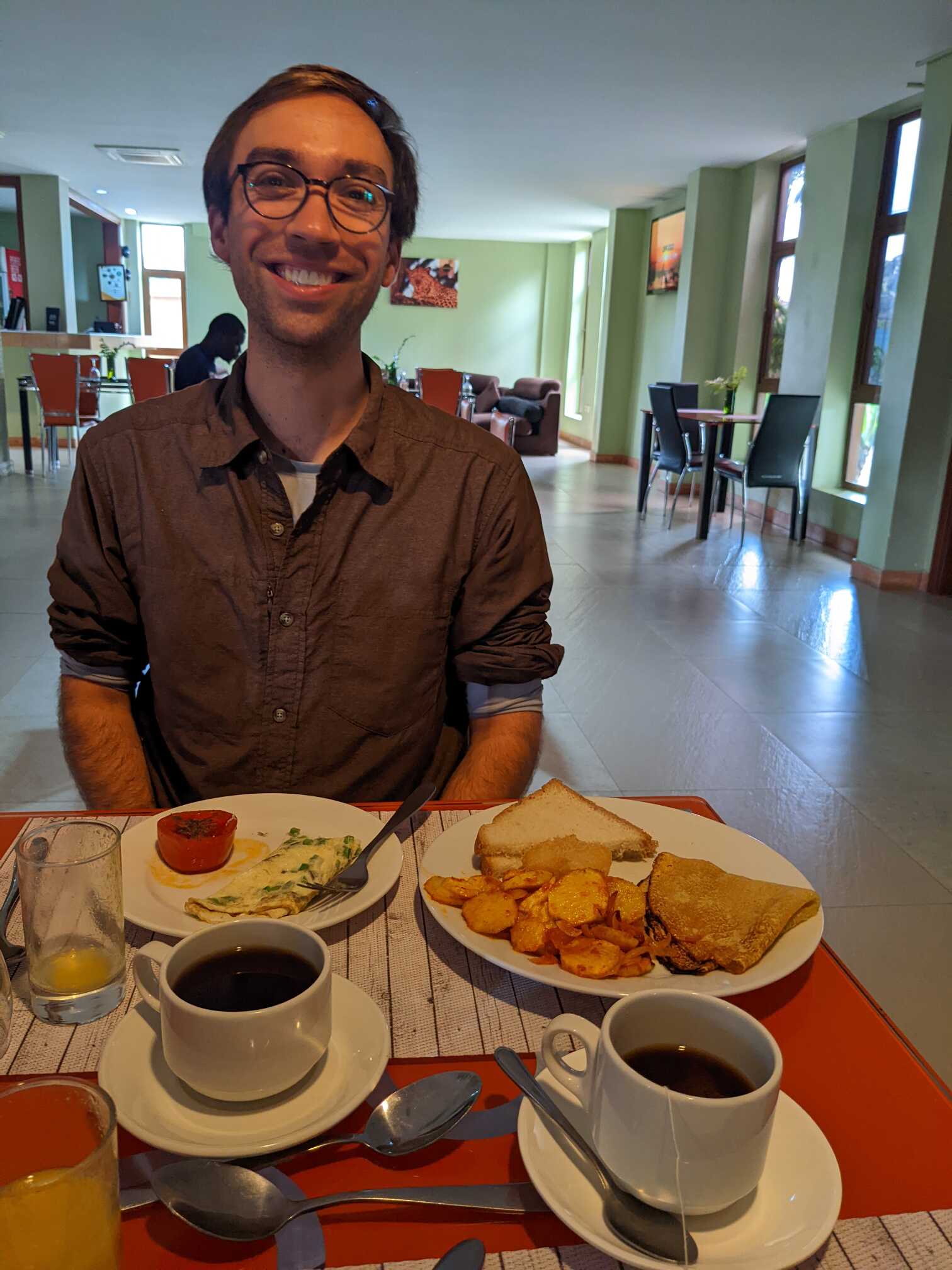
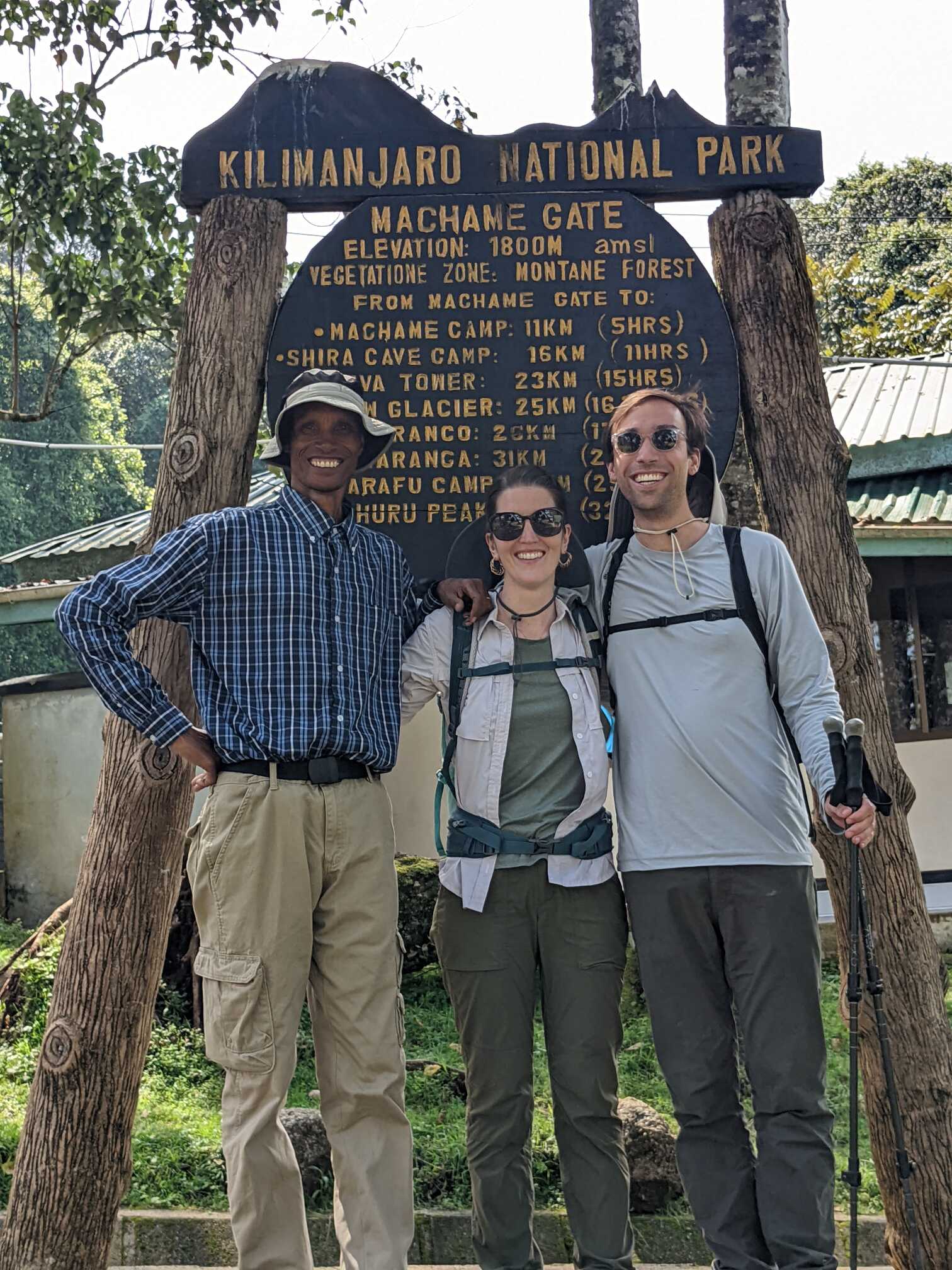
Hiking to the top of Kilimanjaro was hard, for many reasons. That said, we are glad we hiked it. To get there, we took a direct flight on a Boeing 777 from Amsterdam to Kilimanjaro airport. We landed at 8 PM local time. However, with customs and the drive to our hotel, we didn’t get into our room until just after midnight. At that point, we still needed to pack our bags. We sorted our stuff into three bags: each of us with one bag to take up Kilimanjaro, and a third to store at the hotel.
When going through the gear we rented, we quickly learned that our definition of a ‘winter coat’ differed from the rental company’s (as they lived in a tropical climate and we grew up in the Northeast). The top of Kilimanjaro is below freezing and we were concerned that we didn’t have enough layers to stay warm. We called up our coordinator and chatted with them. Thankfully, they offered to bring all their ‘winter coats’ the next morning so we could layer a few coats on top of one another to stay warm. All in all, we didn’t get much sleep that night.
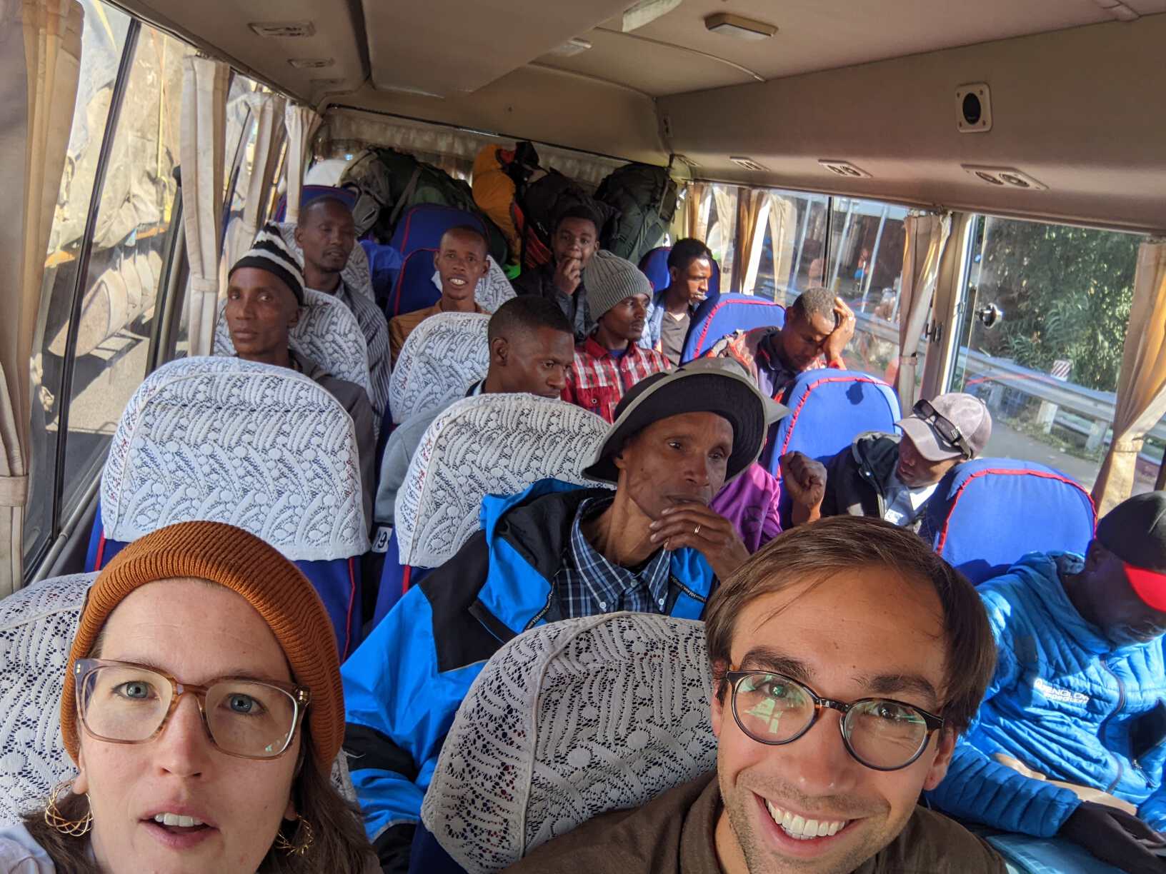
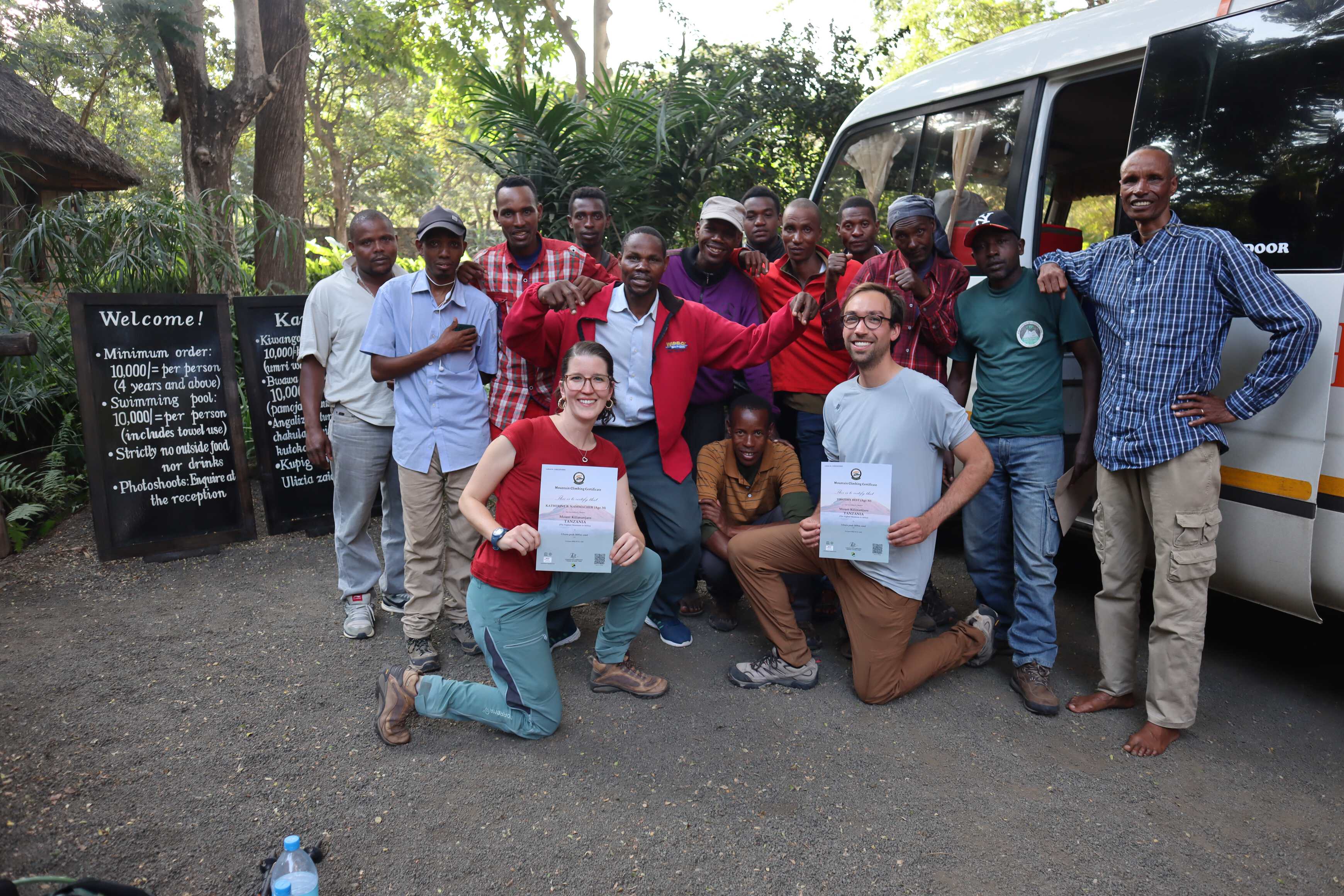
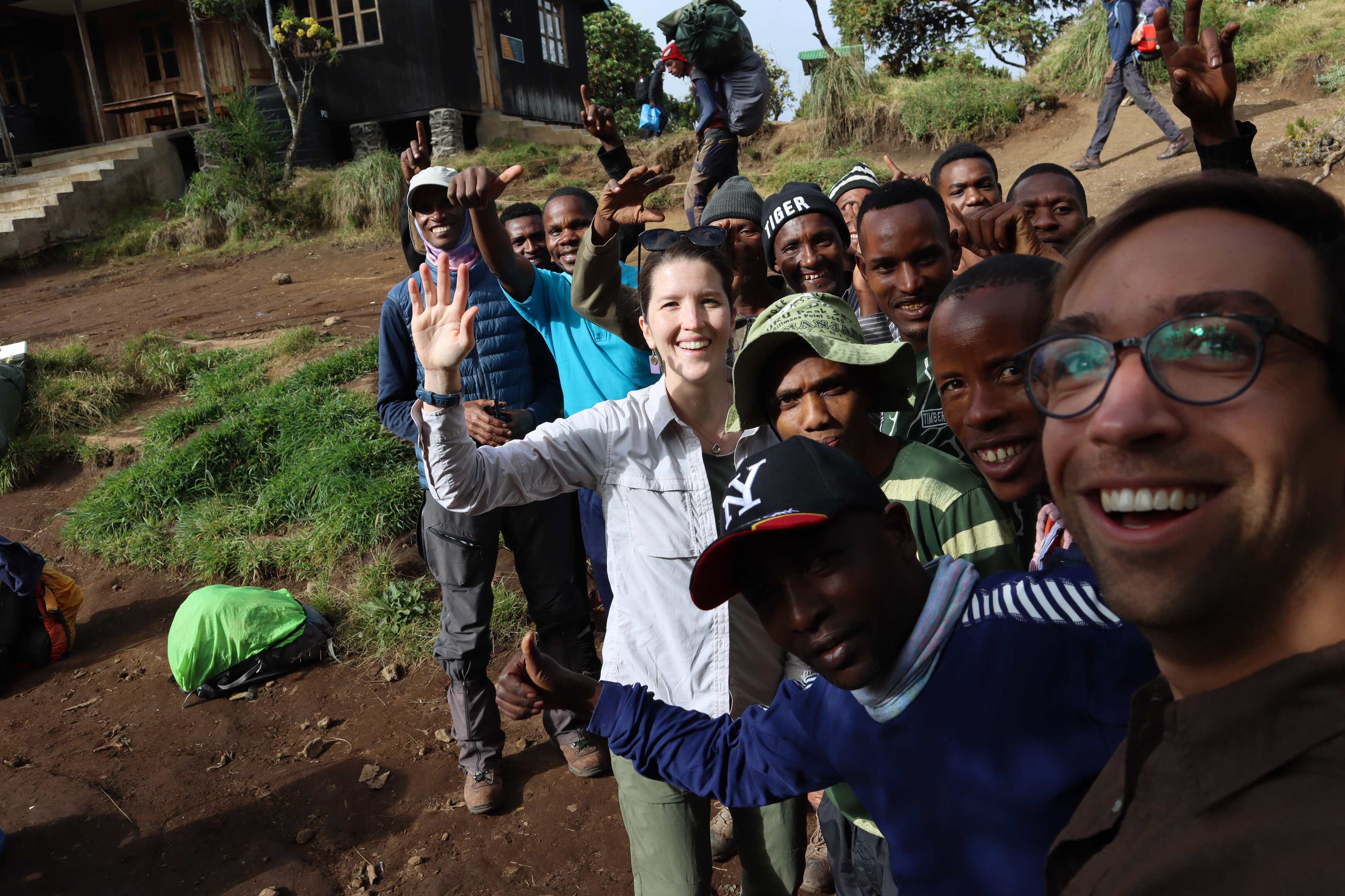
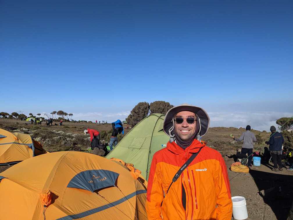
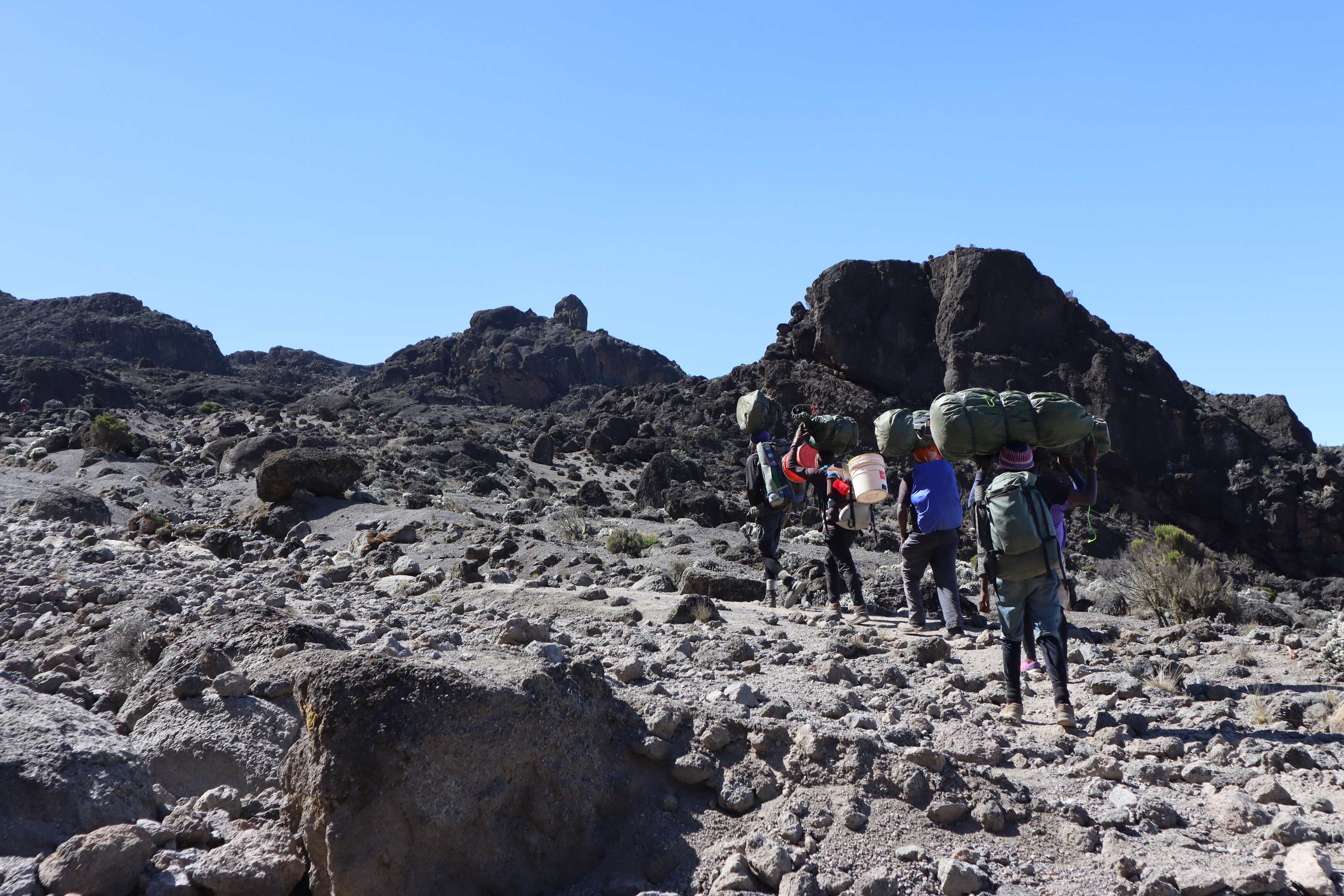
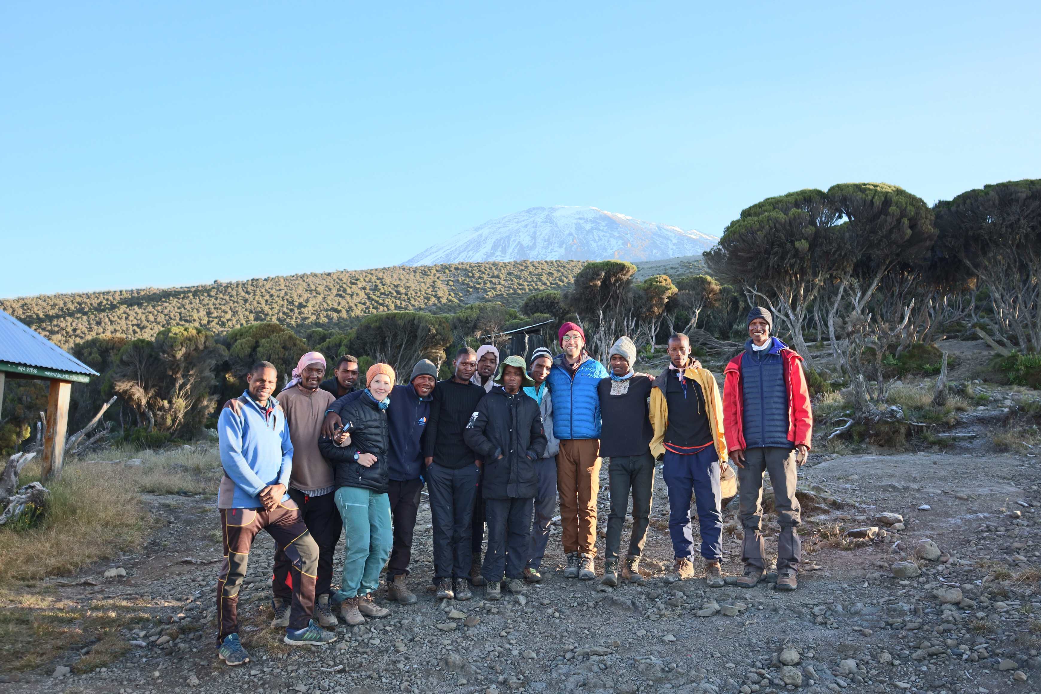
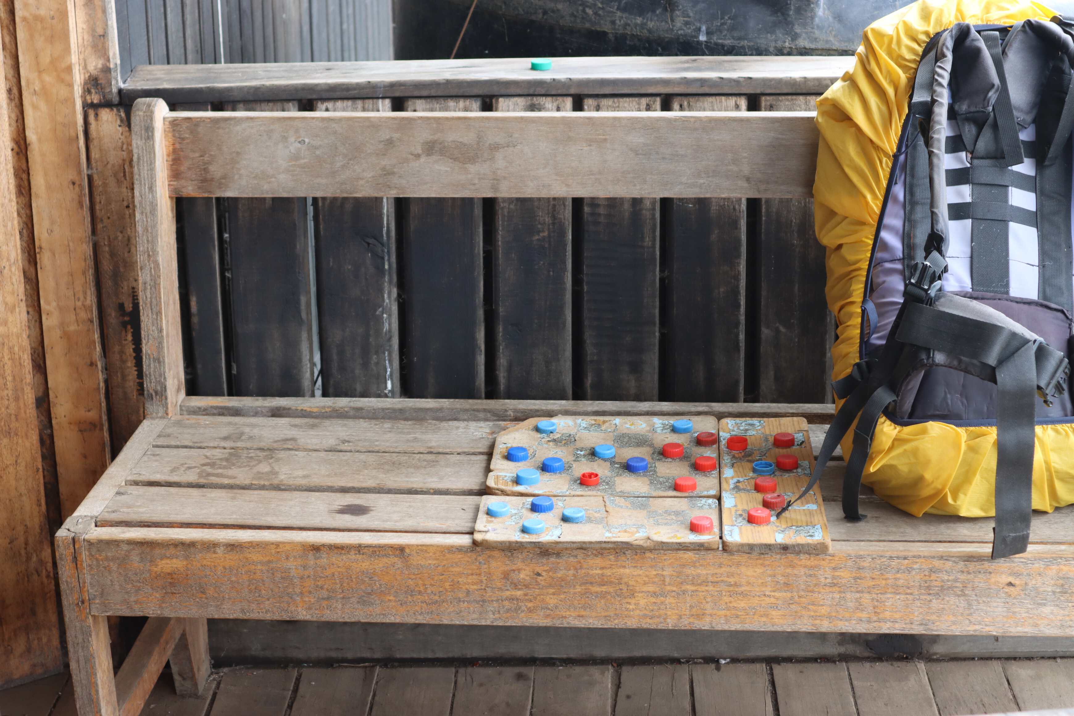
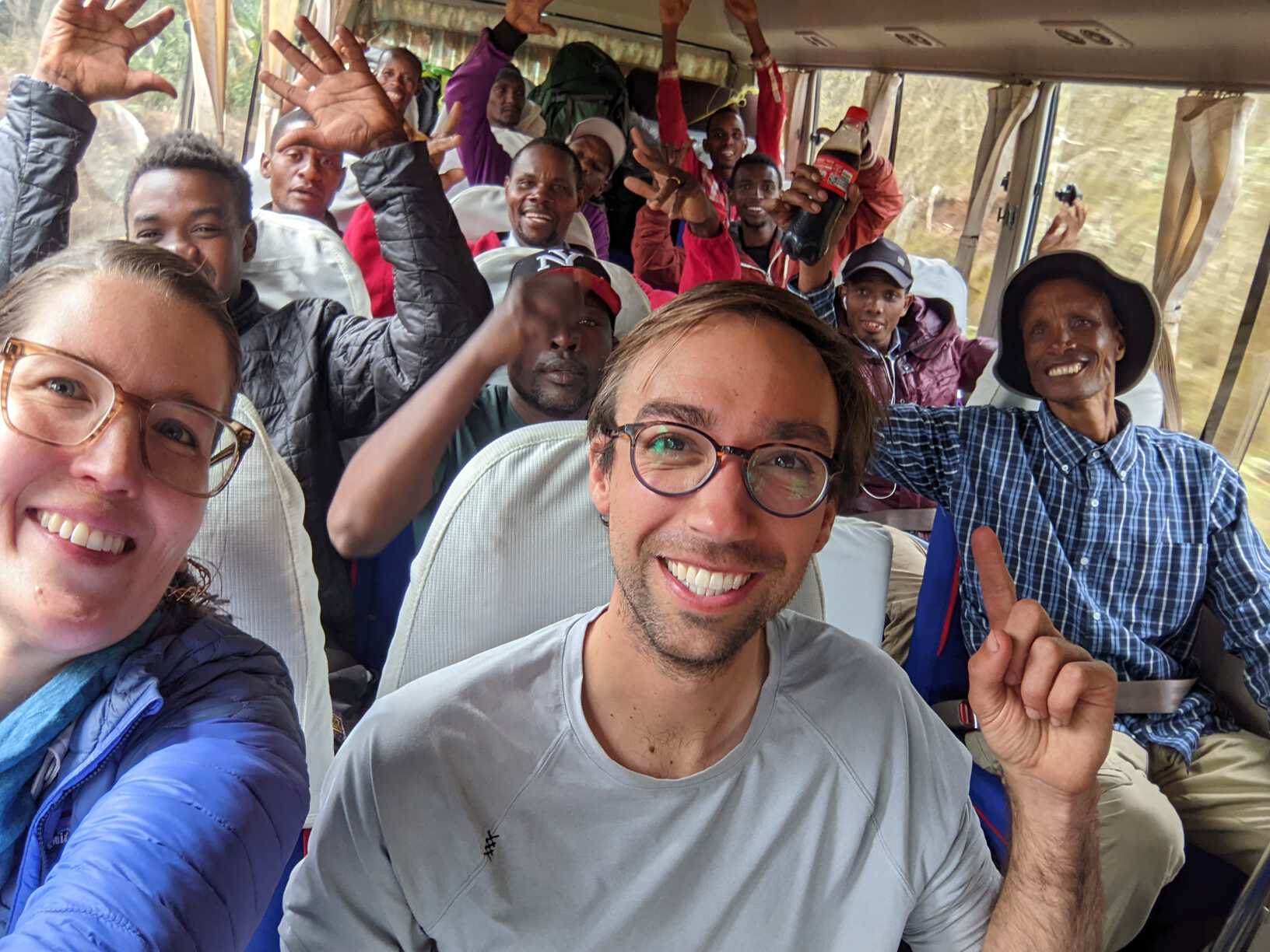
The next morning we awoke around 7 AM to eat breakfast and sort through our layers. When we walked out of the hotel we were greeted by a bus full of people - which completely surprised us. 14 in total! The driver, our coordinator, 2 guides, a waiter, a cook and 8 porters. We were quite taken aback by how many people there were for the two of us, as we are used to backpacking by ourselves or with a small group of friends (without porters or support staff). Where everyone is responsible for carrying their things and the weight of the communal items (and our bags) was shared amongst the porters. With that, we drove to the base of the mountain to start the hike!
Day 1
| Machame Gate to Machame Camp | |
|---|---|
| Elevation | 1,8005,900 ft to 2,835 m9,300 ft |
| Distance | 11 km6.8 mi |
| Zone | Rainforest (#2) |
On the drive from our hotel to the gate, our guides introduced themselves and started telling us about the mountain. Kilimanjaro consists of five ecological zones, from base to summit:
- Cultivate (a tropical area where residents farm)
- Rainforest
- Heather moorland
- Alpine desert
- Ice glacier
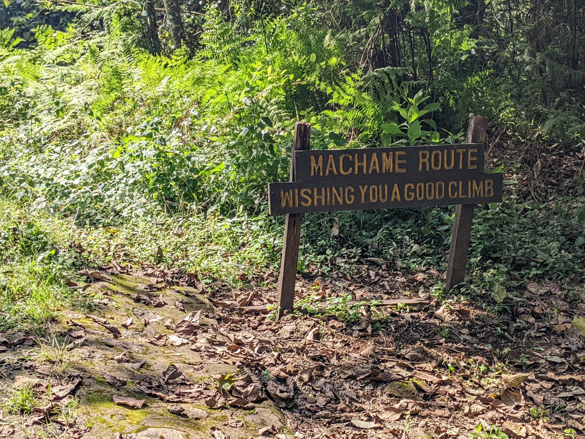
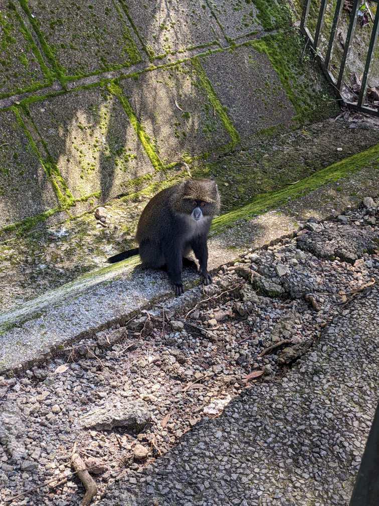
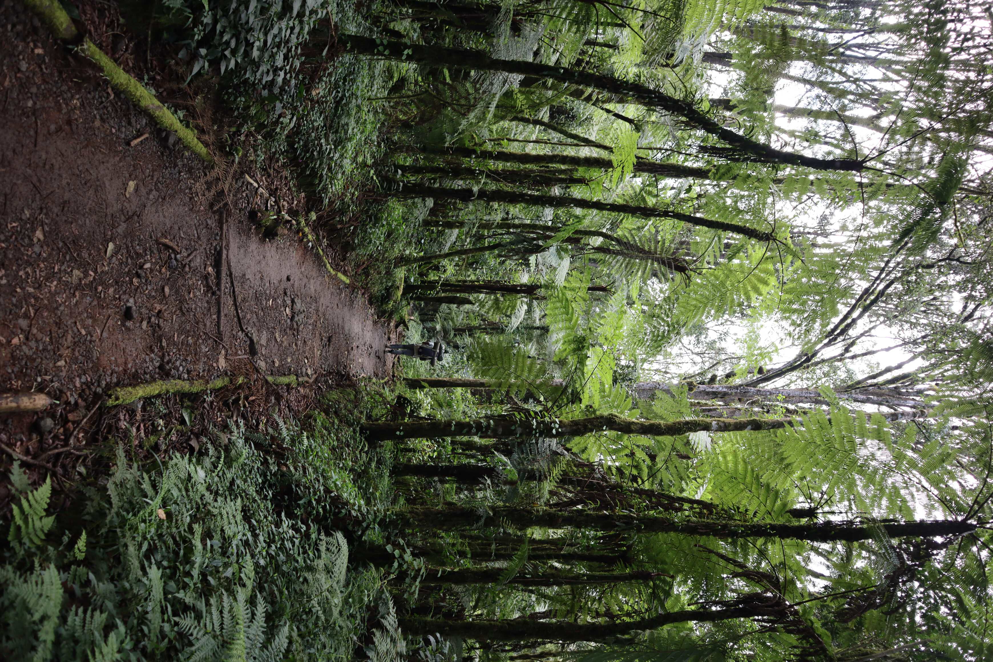
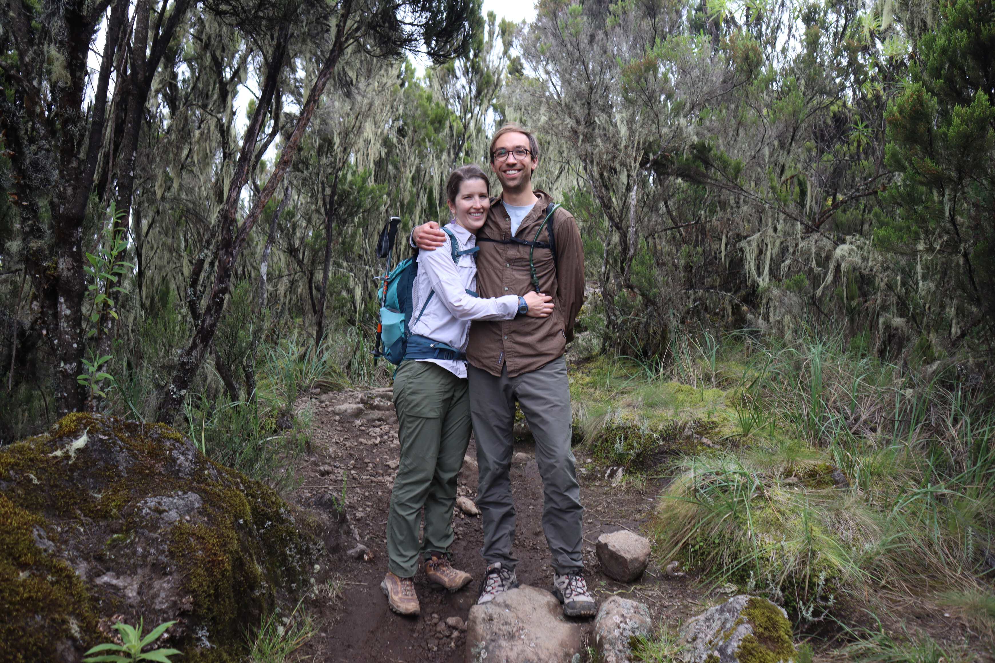
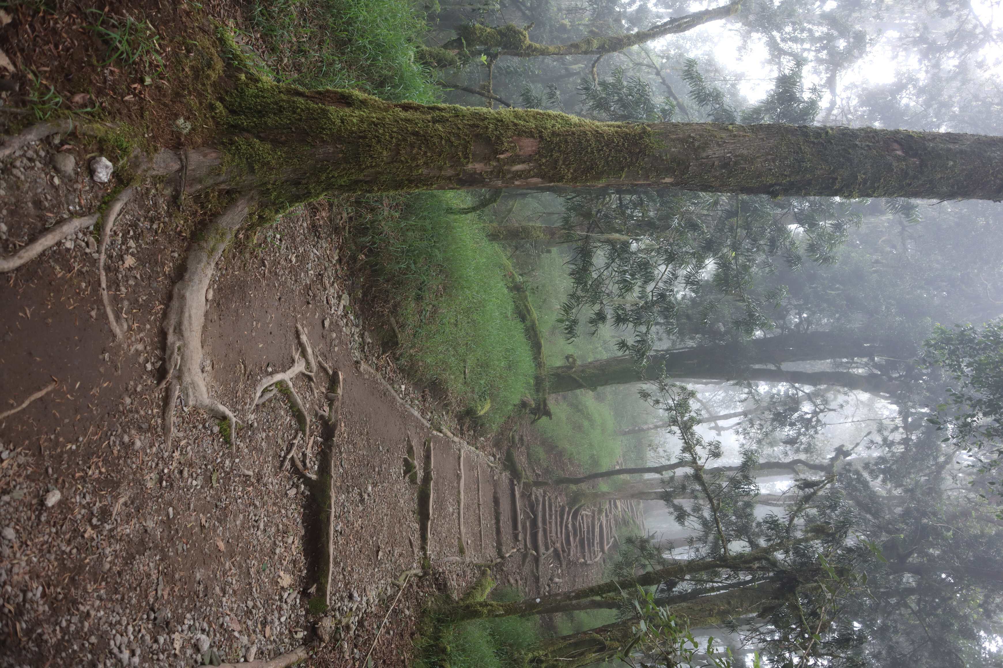
We drove through the cultivated zone which was largely covered with banana farms. Arriving at the gate we entered the rainforest zone and set out on the first day of the Machame route up the mountain. It was beautiful and reminded us of Hawaii. We saw baboons eating food that other humans have dropped, many beautiful wildflowers, and a waterfall!
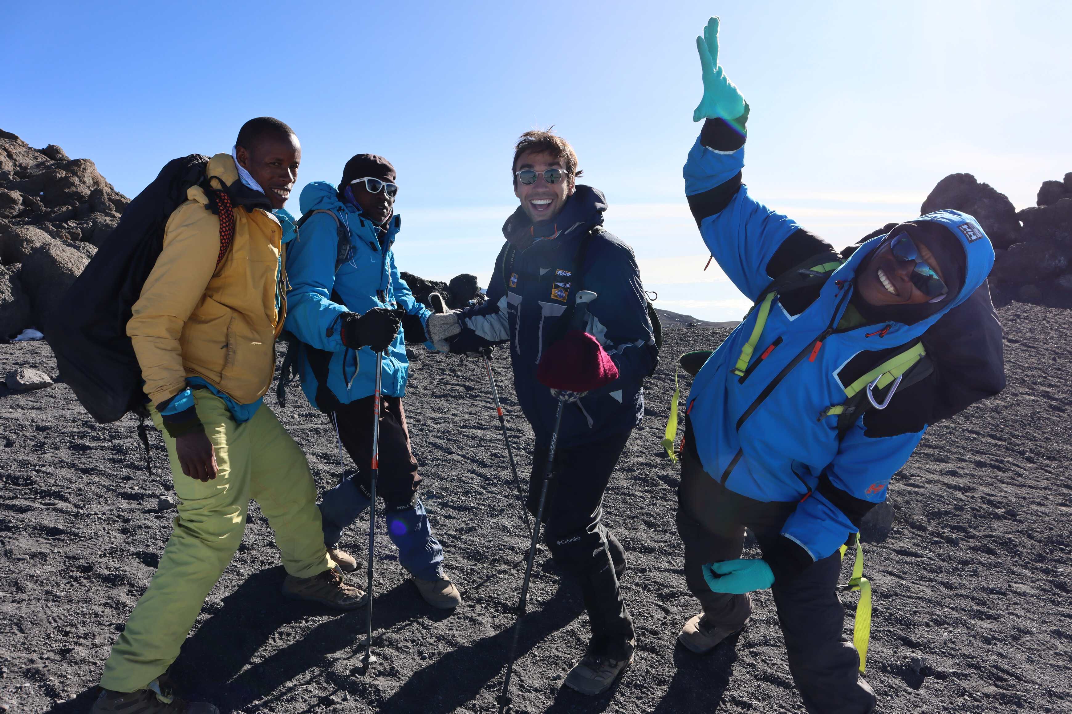
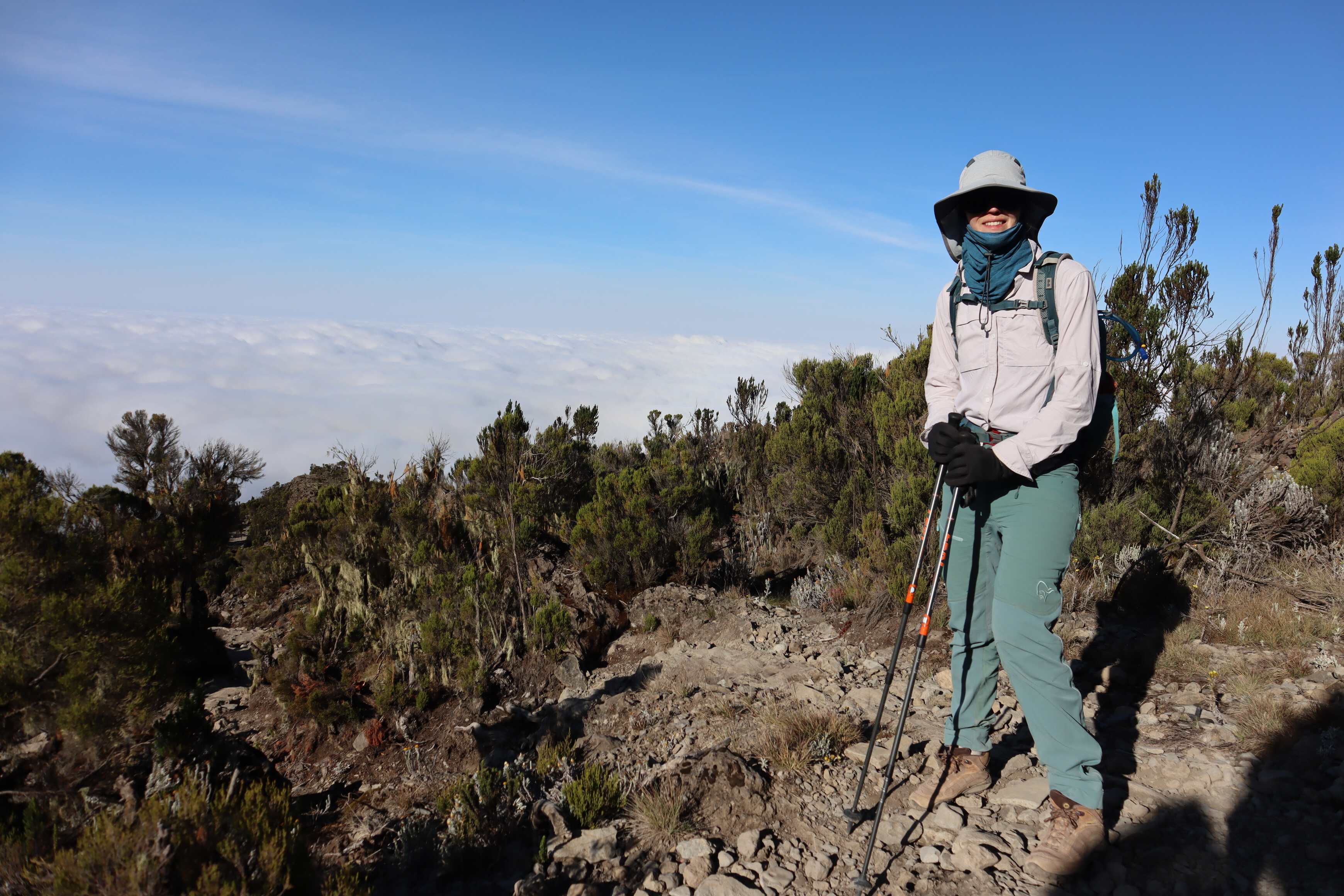
This first section of the hike was where we had the most autonomy. Our guides let us hike freely to get a sense of our fitness and how well we could pace ourselves. On the way, we would regularly pass the cook and one of the porters, which was an indicator to us that we were going fast up the mountain on this day. Of course, this was unbeknownst to us at the time. They were doing this to inform the pace they would set for us on the remaining days. We also chatted with them and formed a rapport by the time we made it to camp.
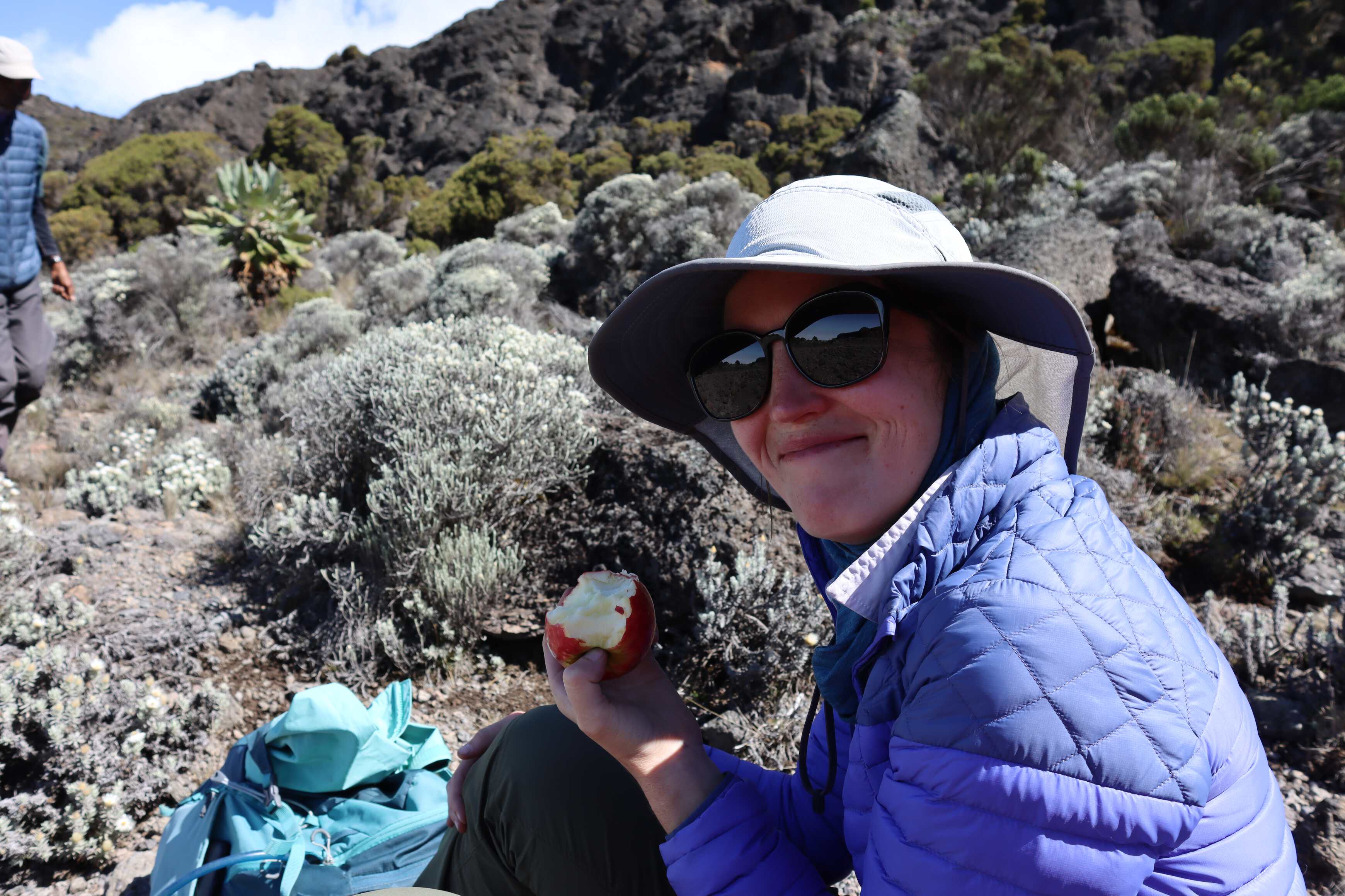
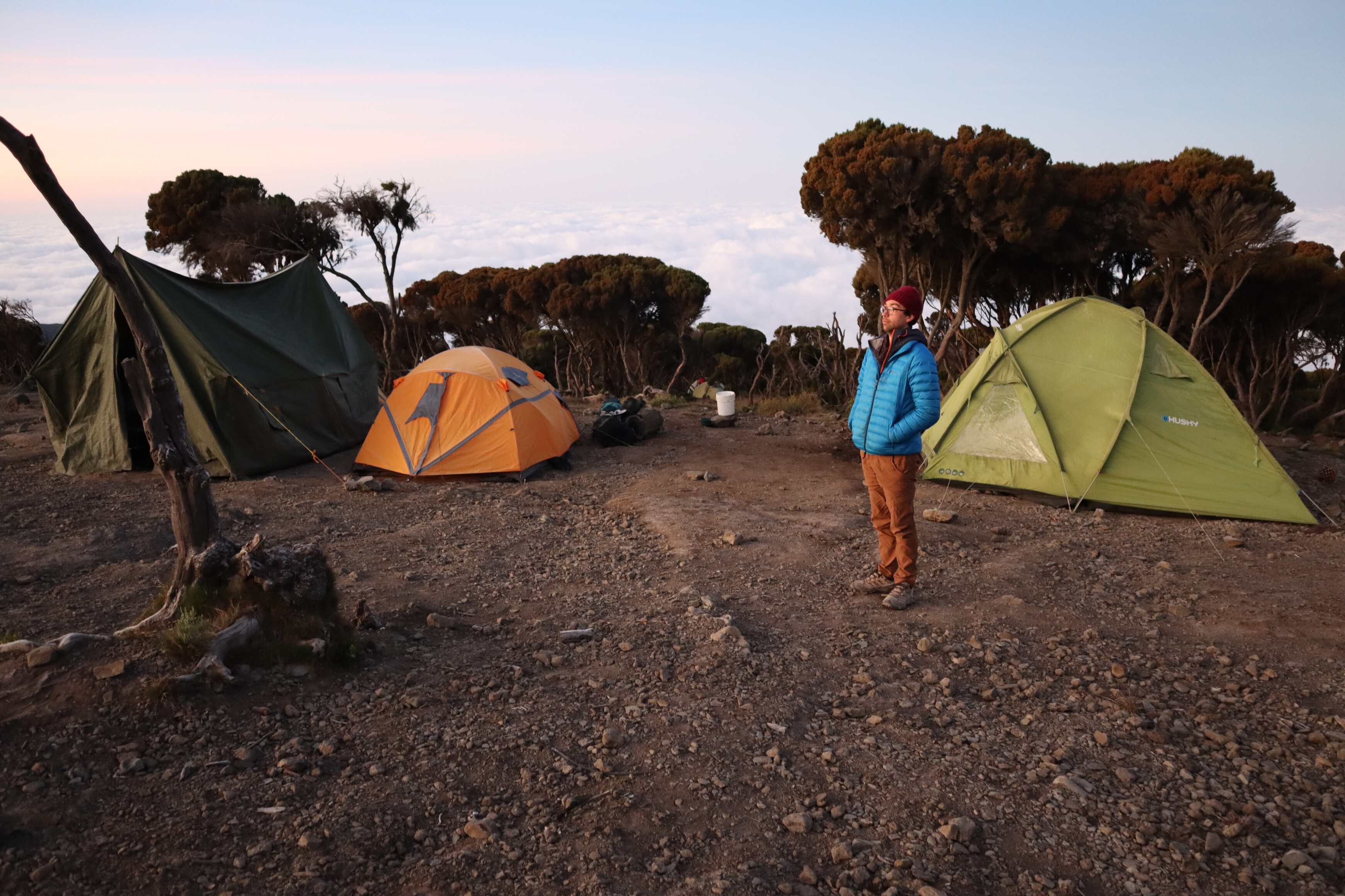
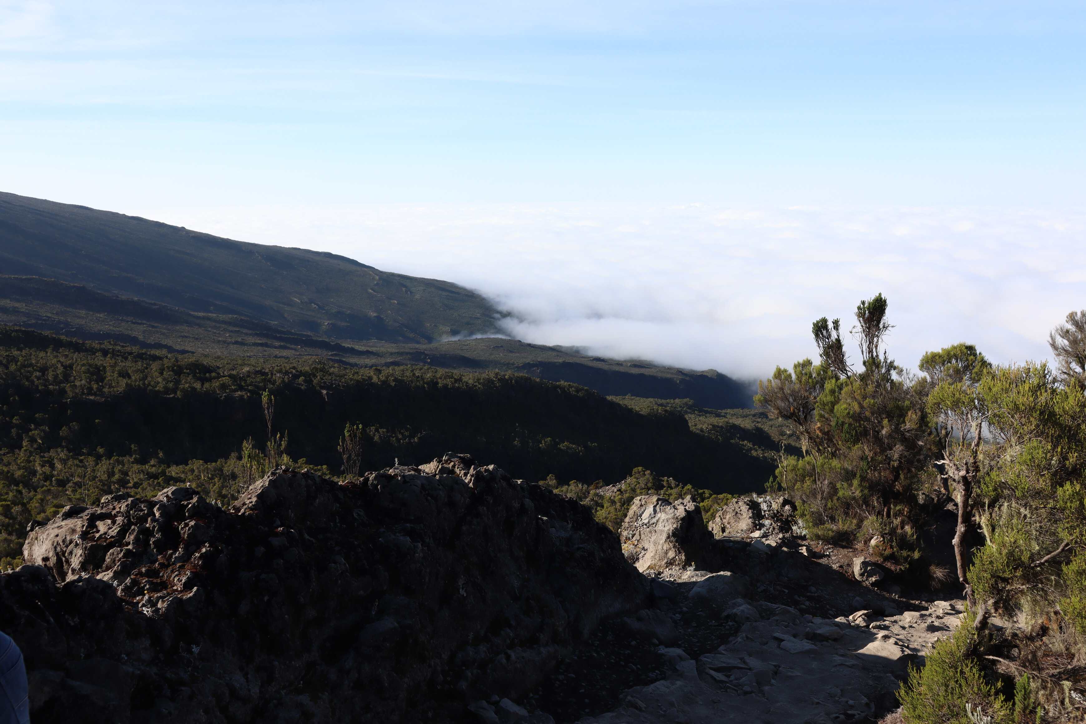
We reached camp about an hour before nightfall. It was located right on the border between the rainforest and the heather moorland zones. The temperature was dropping quickly and Katherine’s bag with all her layers had not yet arrived, as it was with a porter we had passed along the way. Without her layers, it was really hard for her to stay warm. This worried our guides and turned out to be a learning lesson for all. For the rest of the trip, they made sure that our bags arrived at camp before us.
Day 2
| Machame Camp to Shira Cave | |
|---|---|
| Elevation | 2,8359,300 ft to 3,750 m12,300 ft |
| Distance | 5 km3.1 mi |
| Zone | Heather Moorland (#3) |
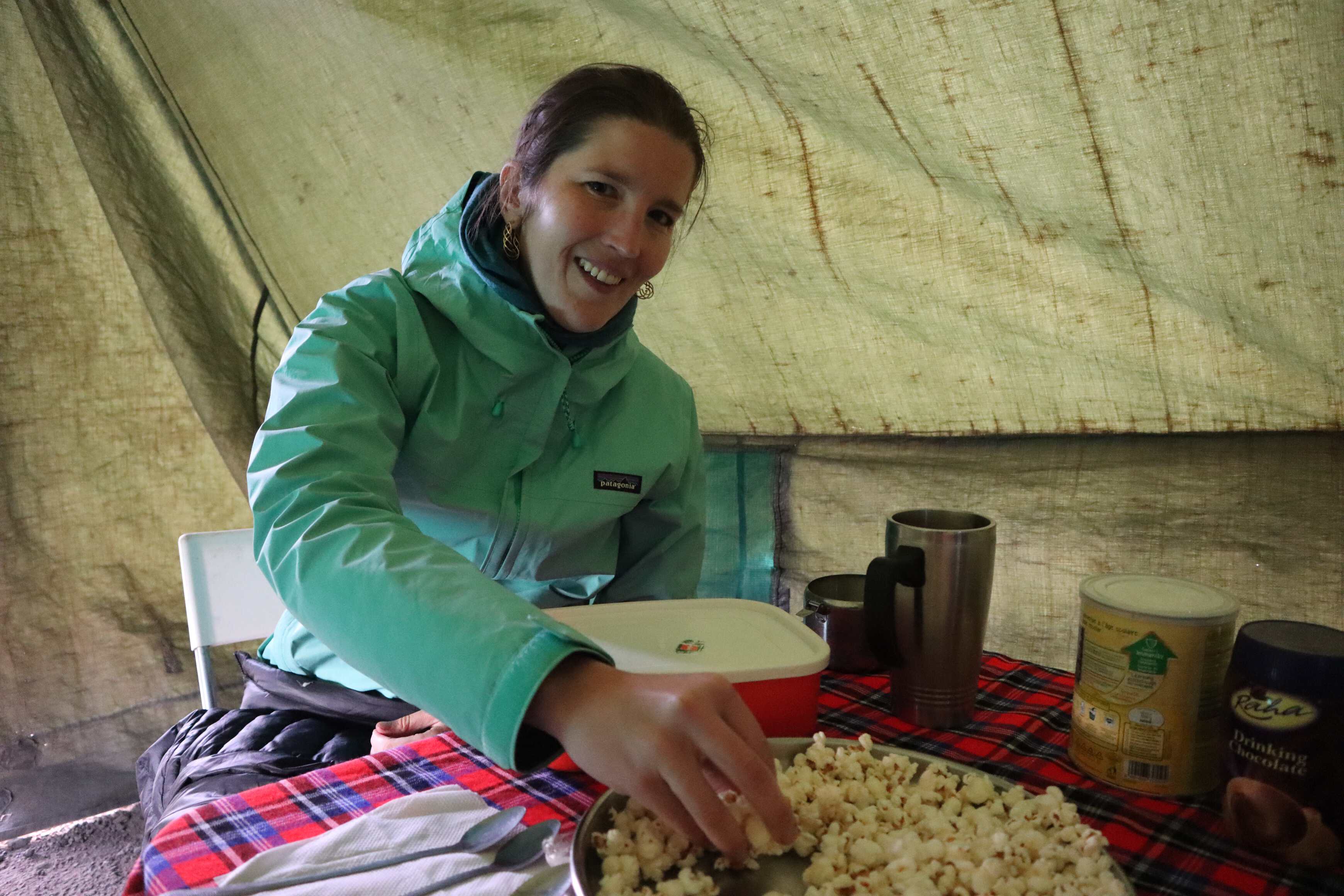
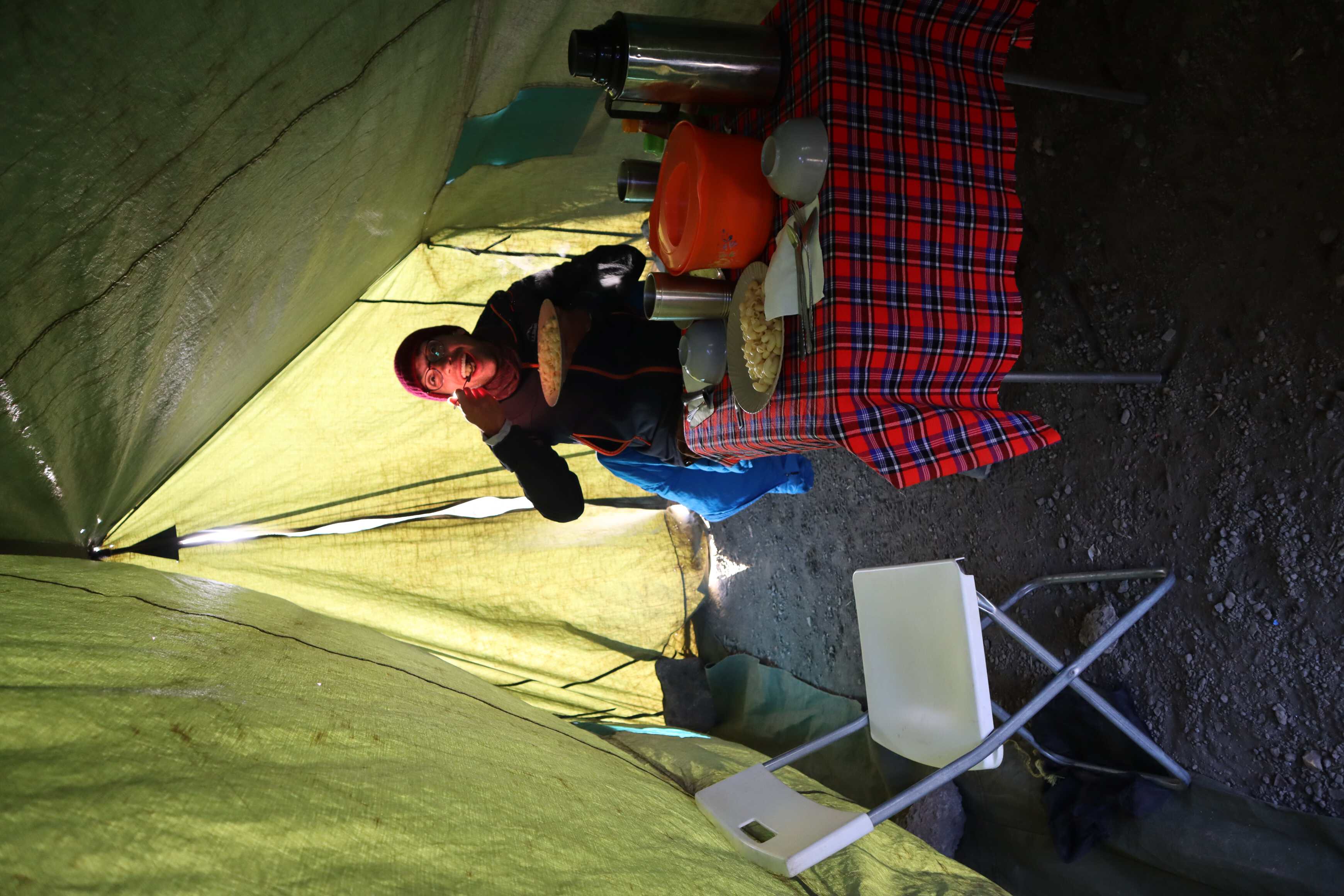
The night and morning were colder than we were expecting. We ate breakfast inside the “dining tent”, a large canvas tent brought specifically for us, the “client”, to eat in. It was equipped with a lamp, table, two chairs, dinnerware and serving dishes. Even with all these luxury items, breakfast was hard to get down. One of the strategies we use when camping in cold weather is to bring food we love. This is beneficial since it can be difficult to keep an appetite when cold, and delicious food goes down easily. However, we were now halfway across the world and up a mountain with our food already planned and packed by someone else from an entirely different culture who was guessing about what we liked. Someone who was tasked with cooking western meals without access to western ingredients. Additionally, “western” ranges from Eastern European to the US. It was humbling to watch this happen, given the effort they were putting in. That said, it was still a challenge to make sure we ate enough.
After breakfast, we finally got to meet the whole crew. Everyone introduced themselves and we made the point of learning everyone’s names. While we did accomplish it, it was difficult at first. Especially for the porters that we did not interact with because they were shyer or did not speak any English.
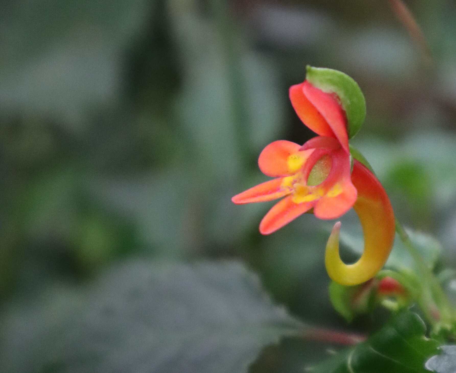
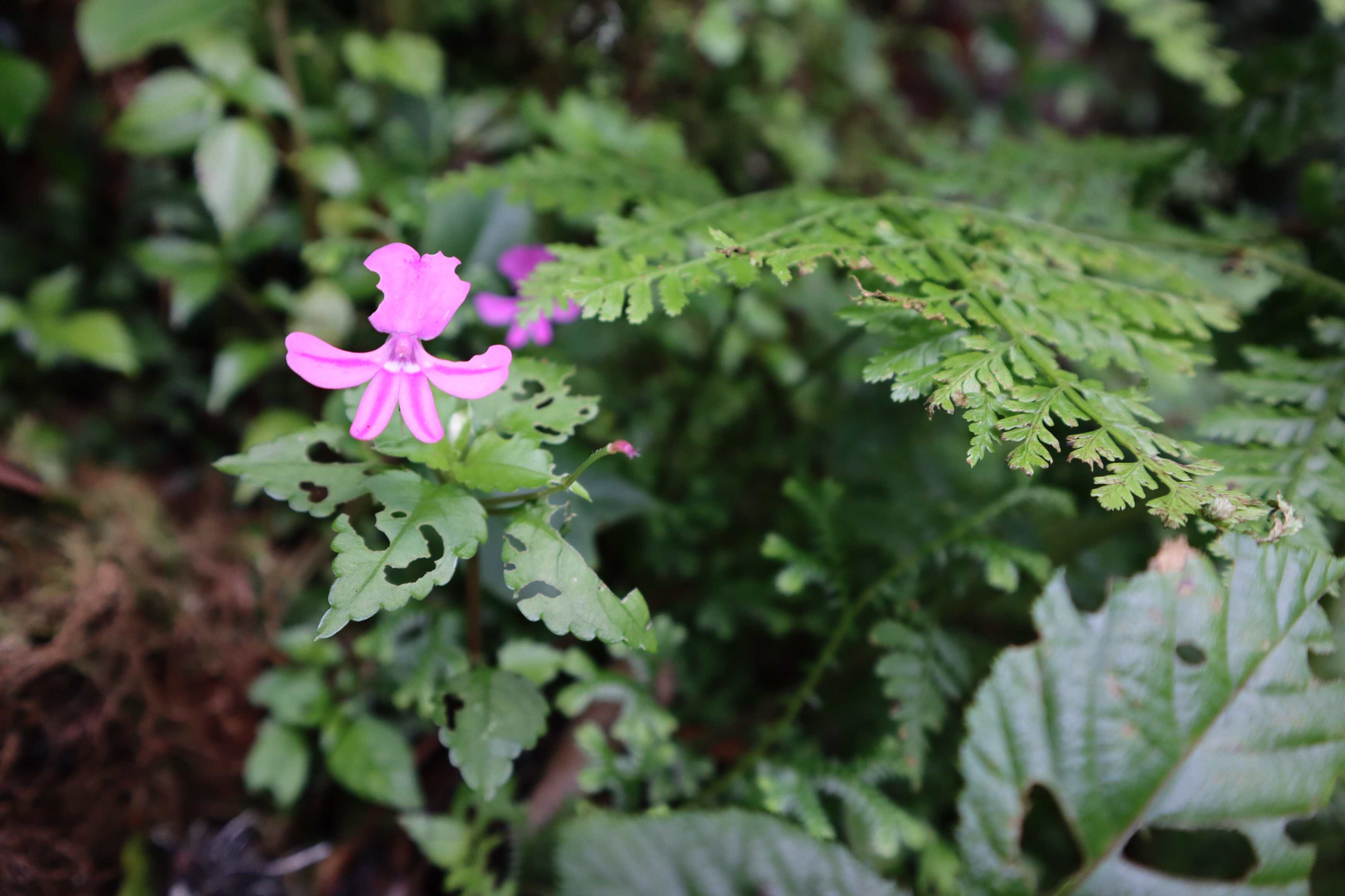
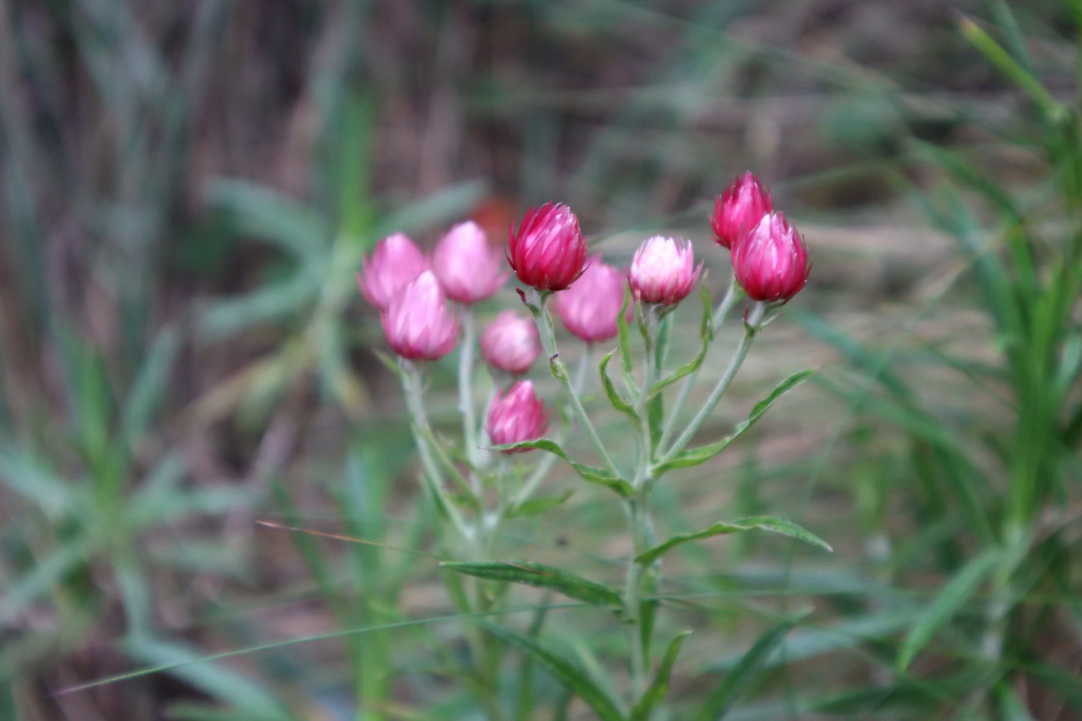
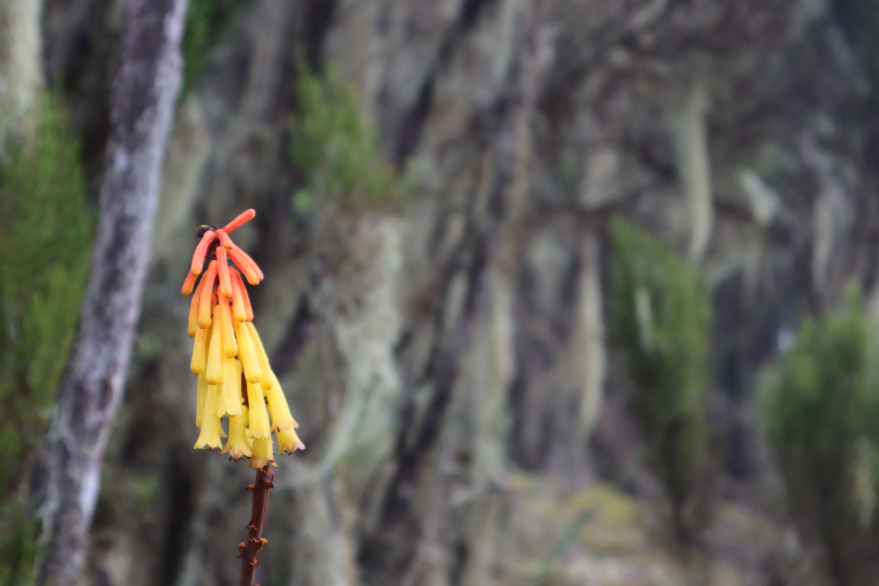
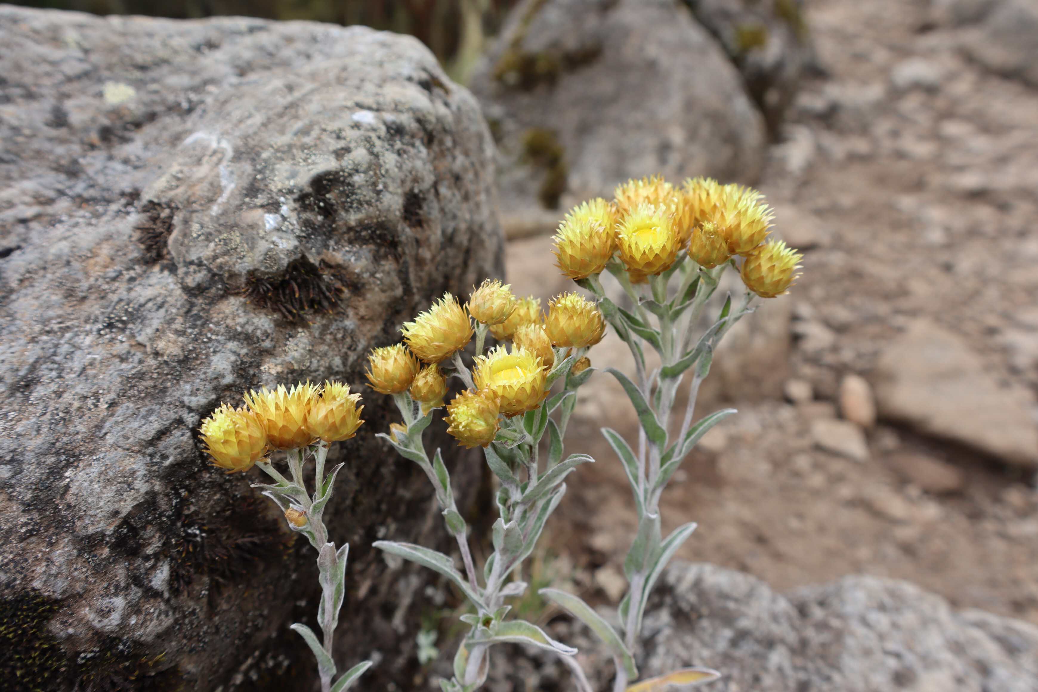
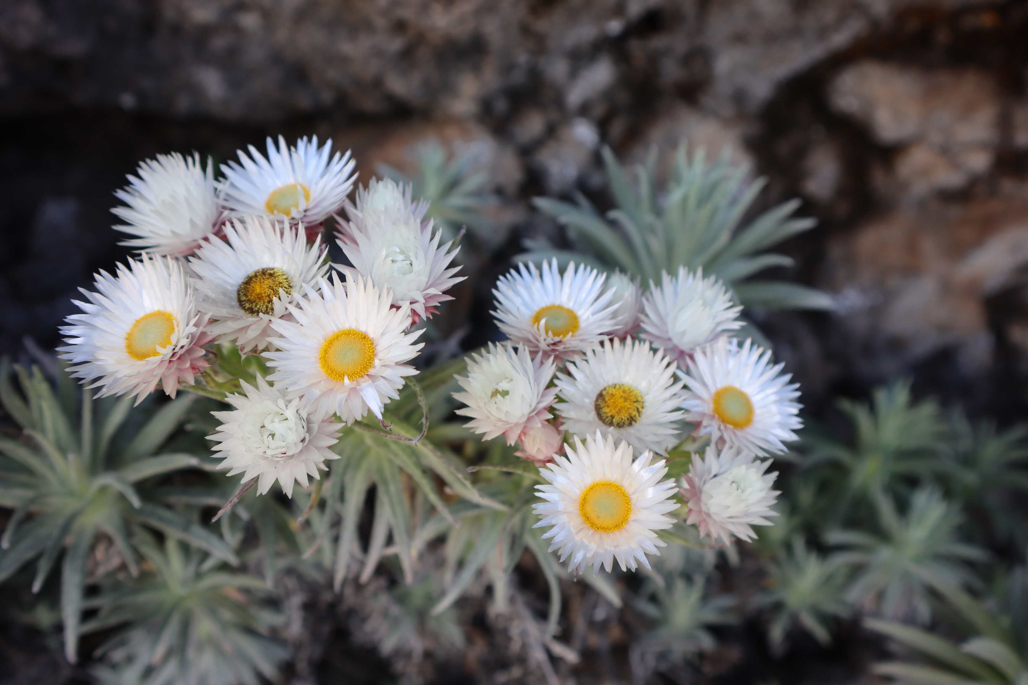
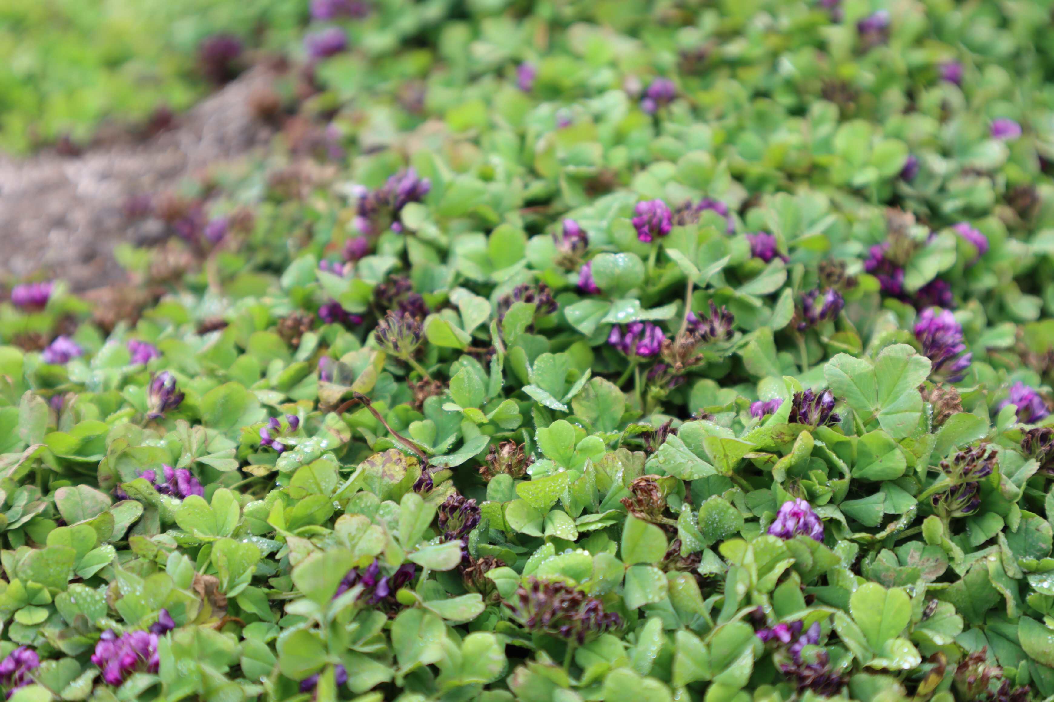
The hike up to Shira Cave was beautiful. The heather moorland was less dense than the rainforest. However, still offered a wide variety of unique and interesting plants. Many of which are only found on Kilimanjaro. Our guides were super knowledgeable about all the different plants and were able to answer all our questions. Our favorite flower in this zone was the Everlasting Flower. They came in a few different colors and shapes including pink and yellow (photographed below). When touched, the petals felt like plastic and made a crinkling sound as if they were plastic. The Everlasting Flowers became a staple of our view. As they can survive up to 4,500 meters15,000 ft .
We arrived at camp early in the afternoon, giving us some time to relax. The day had been hard for both of us, trying to catch our breath while walking a steep ascent. When we got into the tent, Katherine was feeling defeated. We sat together and tears came to her, a release of emotion from the intensity of the day (this is co-authored, so we feel comfortable sharing this aspect of our experience). It was hard, and we were glad we were together, to have the experience and to support one another.
Shira Cave campsite was a beautiful campsite. After decompressing, Katherine got some time to draw one of the trees from the moorland while I had a look around the camp. One thing I noticed was how many bones there were in dried-up waterways. In asking our guides I found out that it was common to cook beef with the bone in, and many cooks will toss the bones on the ground afterward.
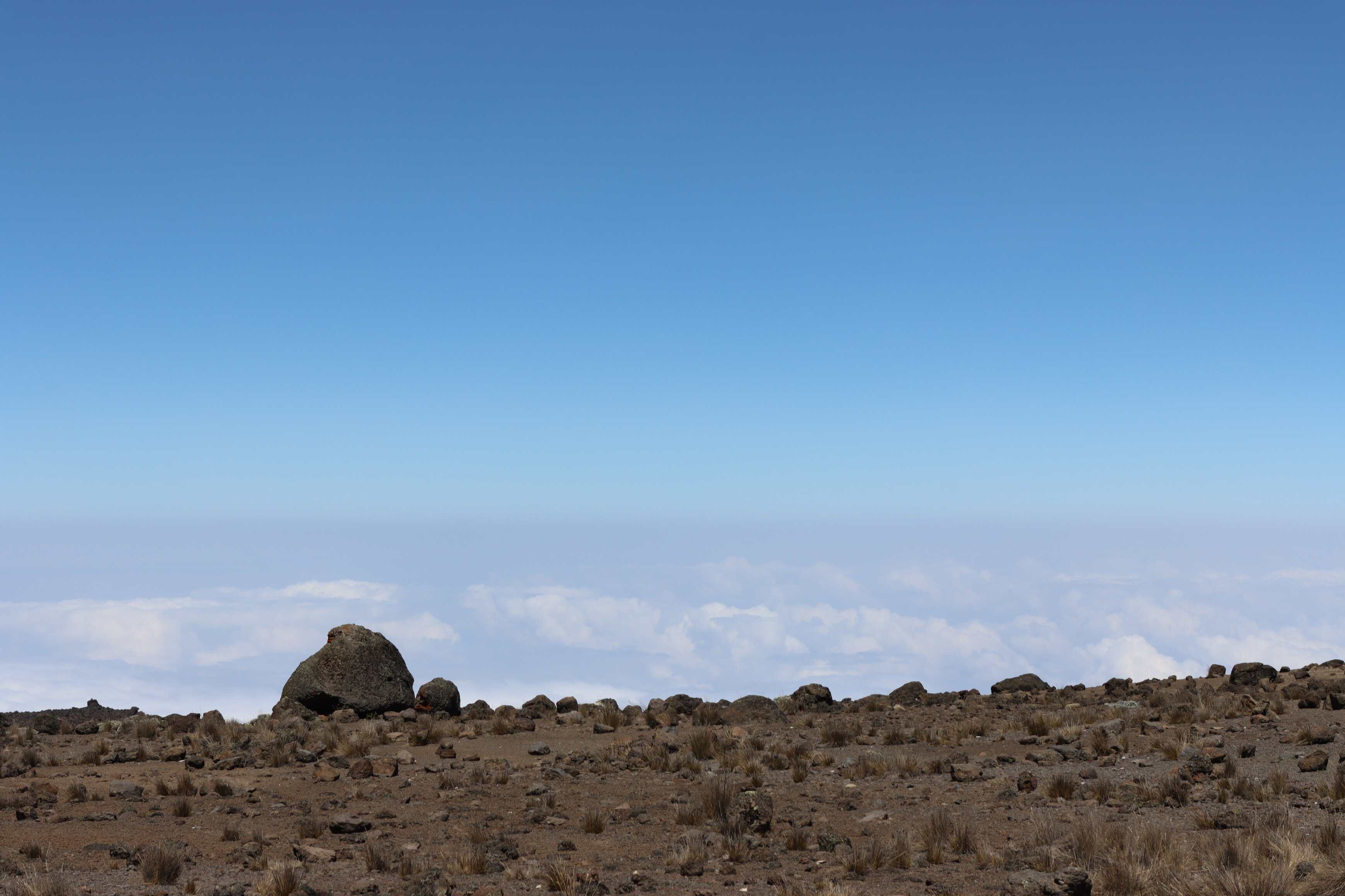
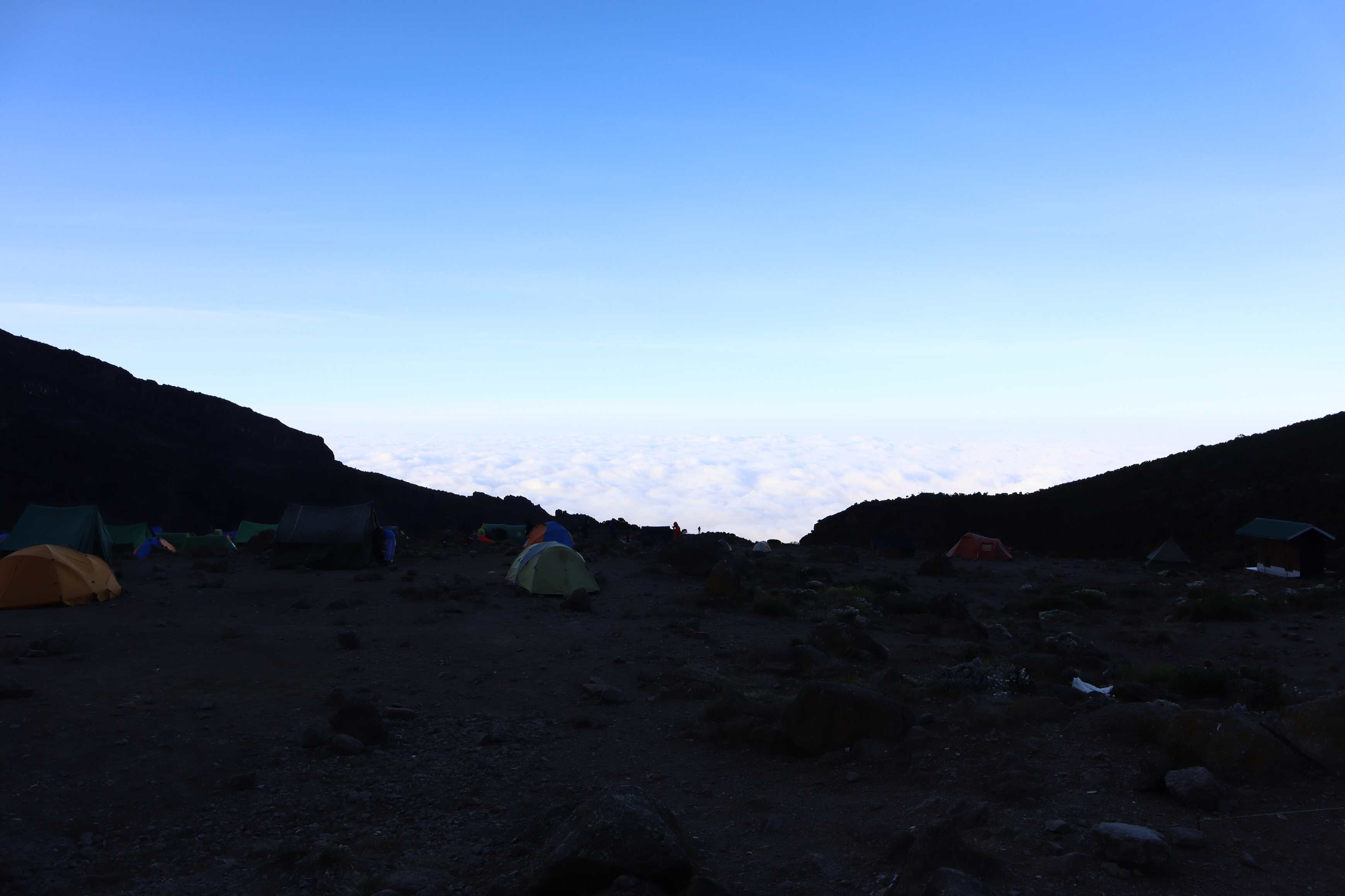
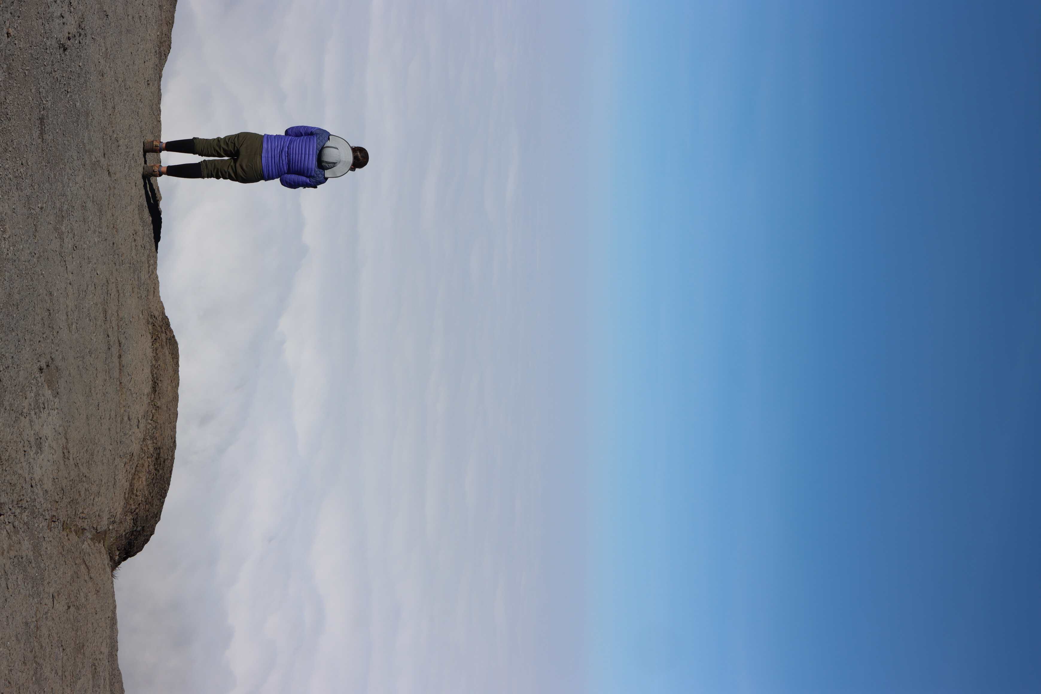
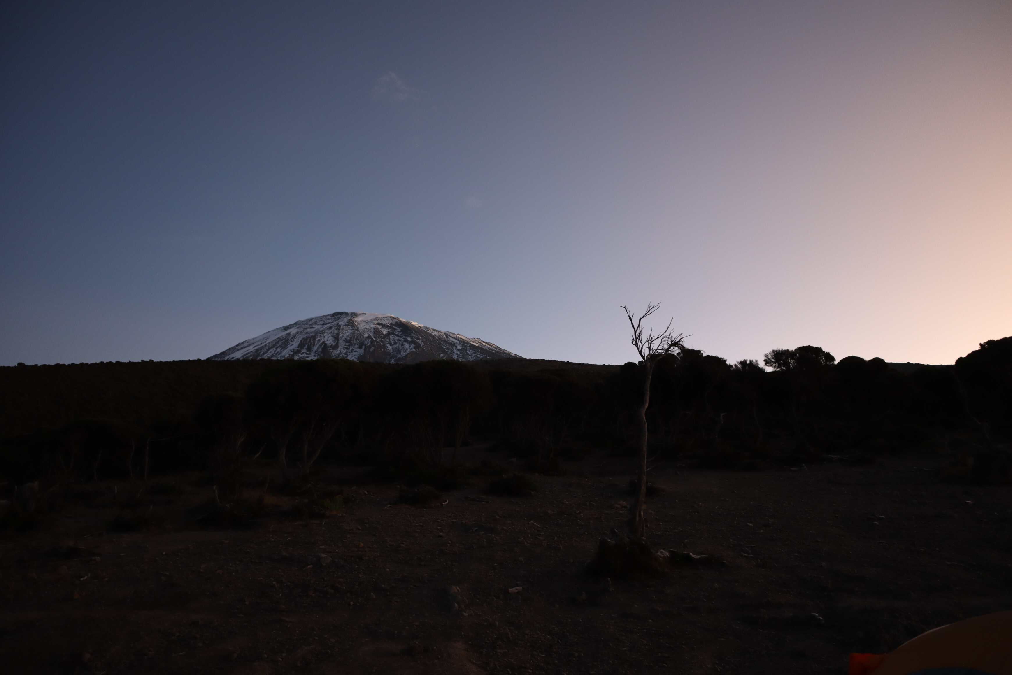
This campsite was also above the clouds and lead to some beautiful views of the night sky. We were able to see the Southern Cross, the Milky Way, many satellites and even a shooting star! This was the start of a collection of starry nights.
Day 3
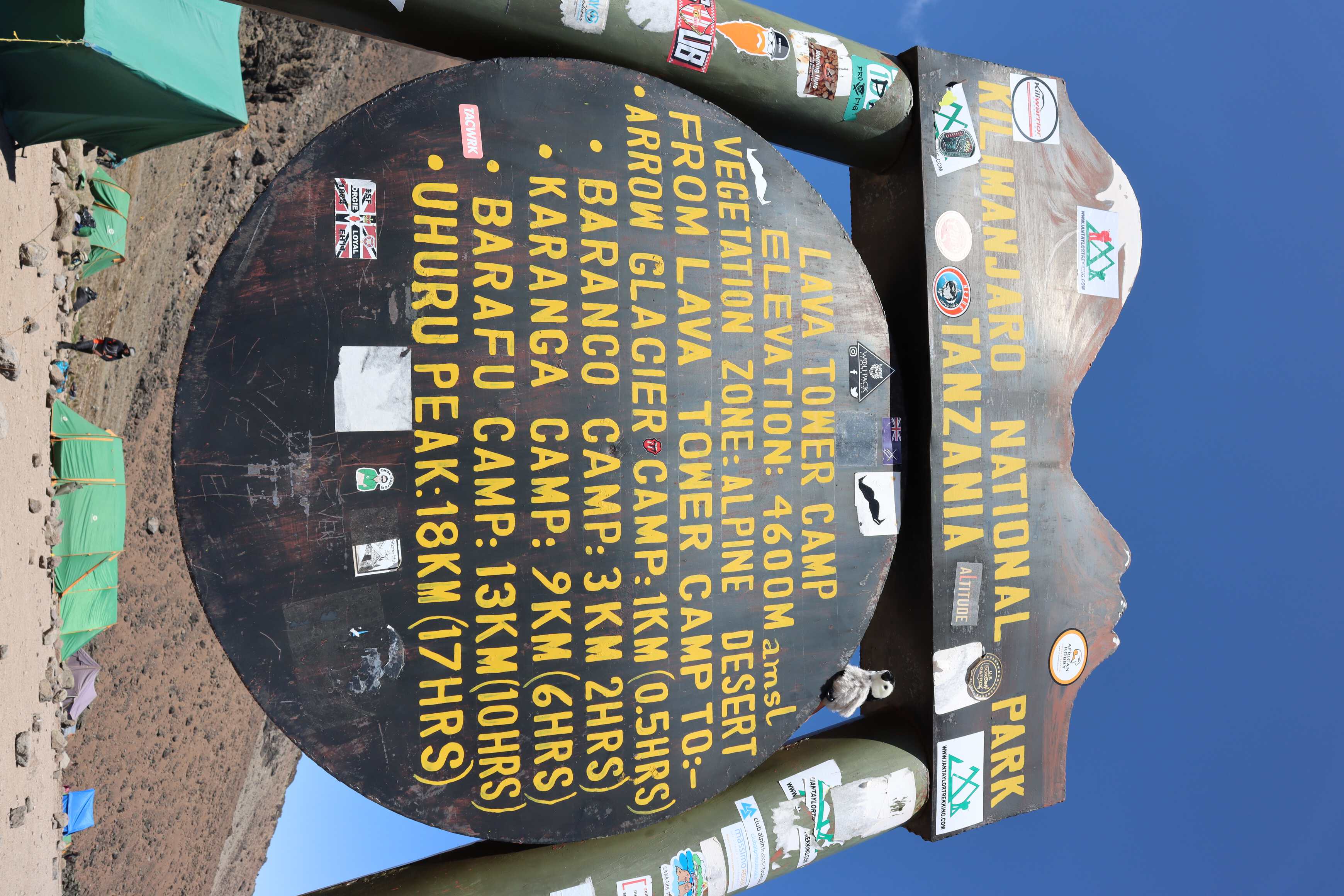
| Shira Cave to Lava Tower | |
|---|---|
| Elevation | 3,75012,300 ft to 4,600 m15,090 ft |
| Distance | 7 km4.3 mi |
| Zone | Alpine Desert (#4) |
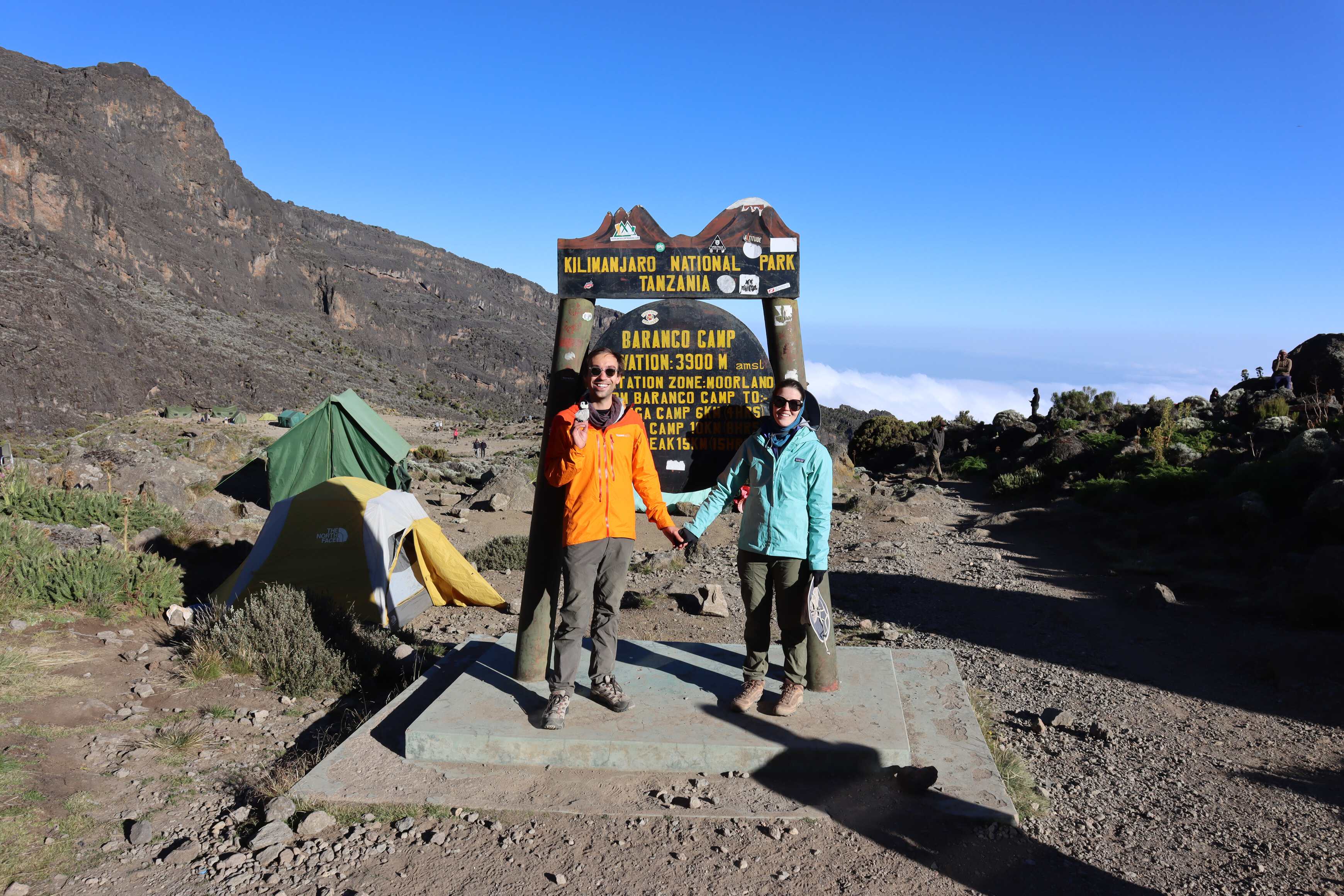
| Lava Tower to Barranco | |
|---|---|
| Elevation | 4,60015,090 ft to 3,900 m12,795 ft |
| Distance | 3 km1.9 mi |
| Zone | Heather Moorland (#3) |
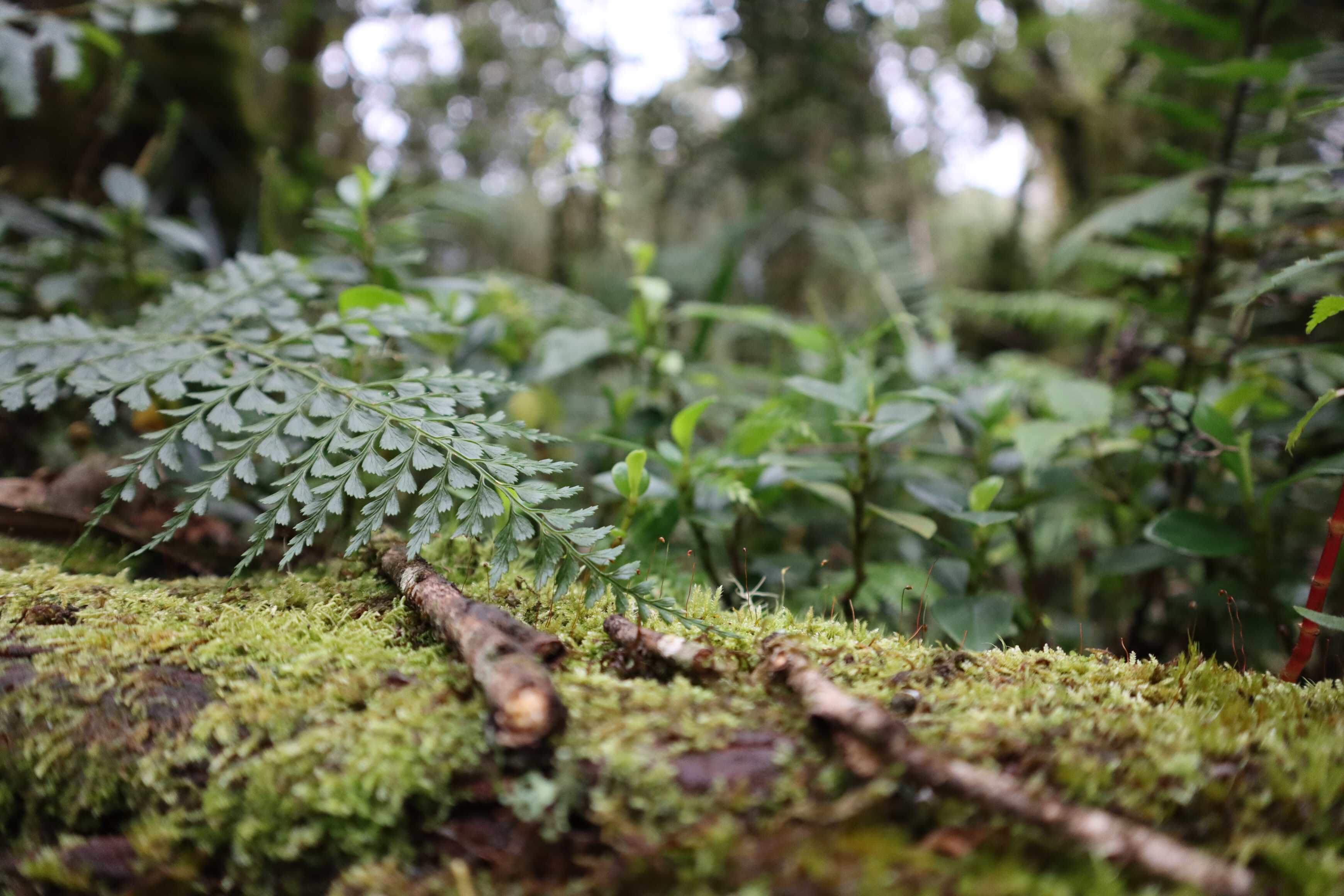
ice formation within the dirt](/assets/images/2022-06-21-kilimanjaro/cool_ice.jpg)
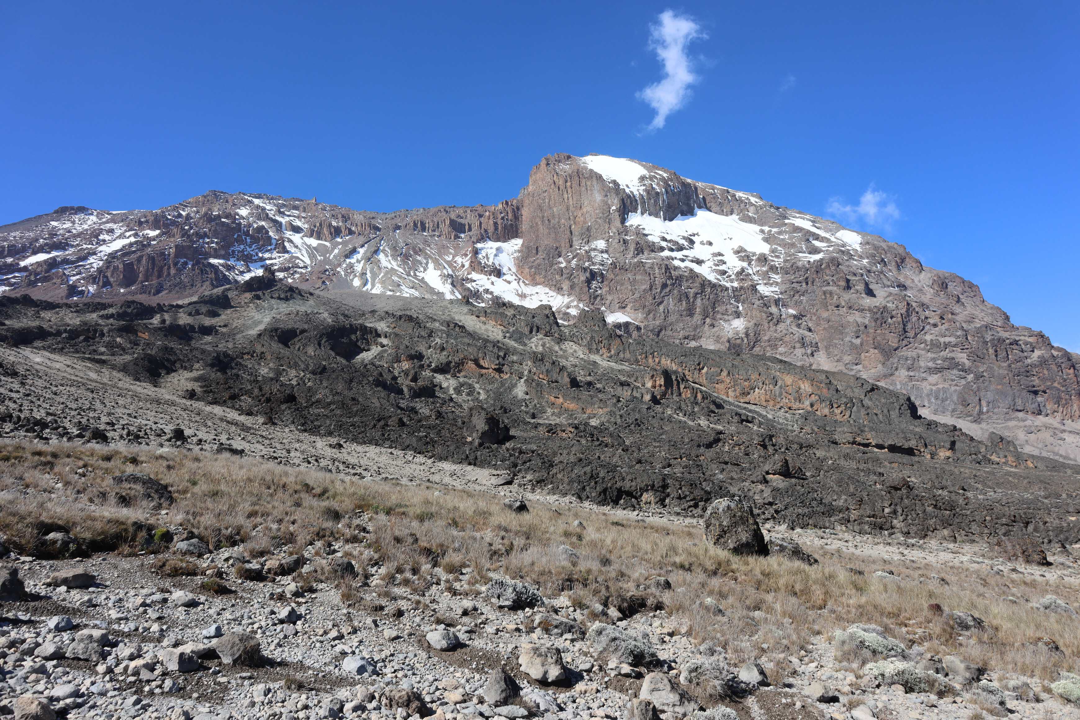
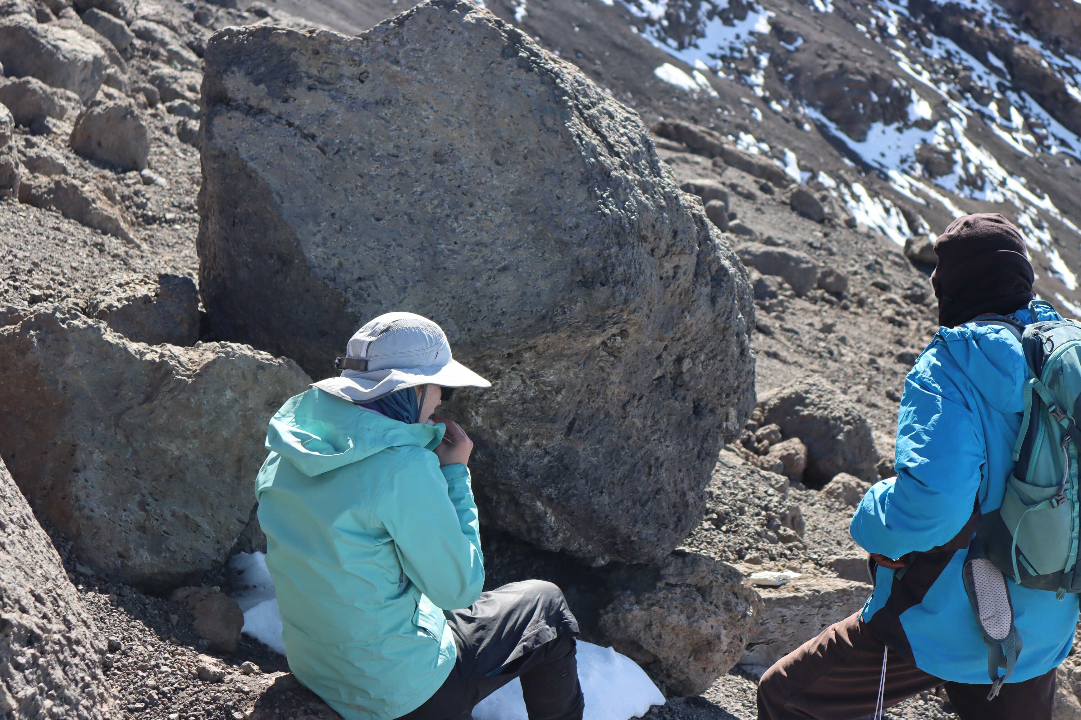
Day 3 was a day designed to acclimate us to the higher elevations. Our route brought us up almost 1,000 meters3,200 feet, exposing us to the altitude. Then it lead us back down almost to the elevation where we started, yet also bringing us closer to the summit on the route. This introduces our bodies to less oxygen while also allowing us to sleep with more air and stay strong. It was a long and difficult day.
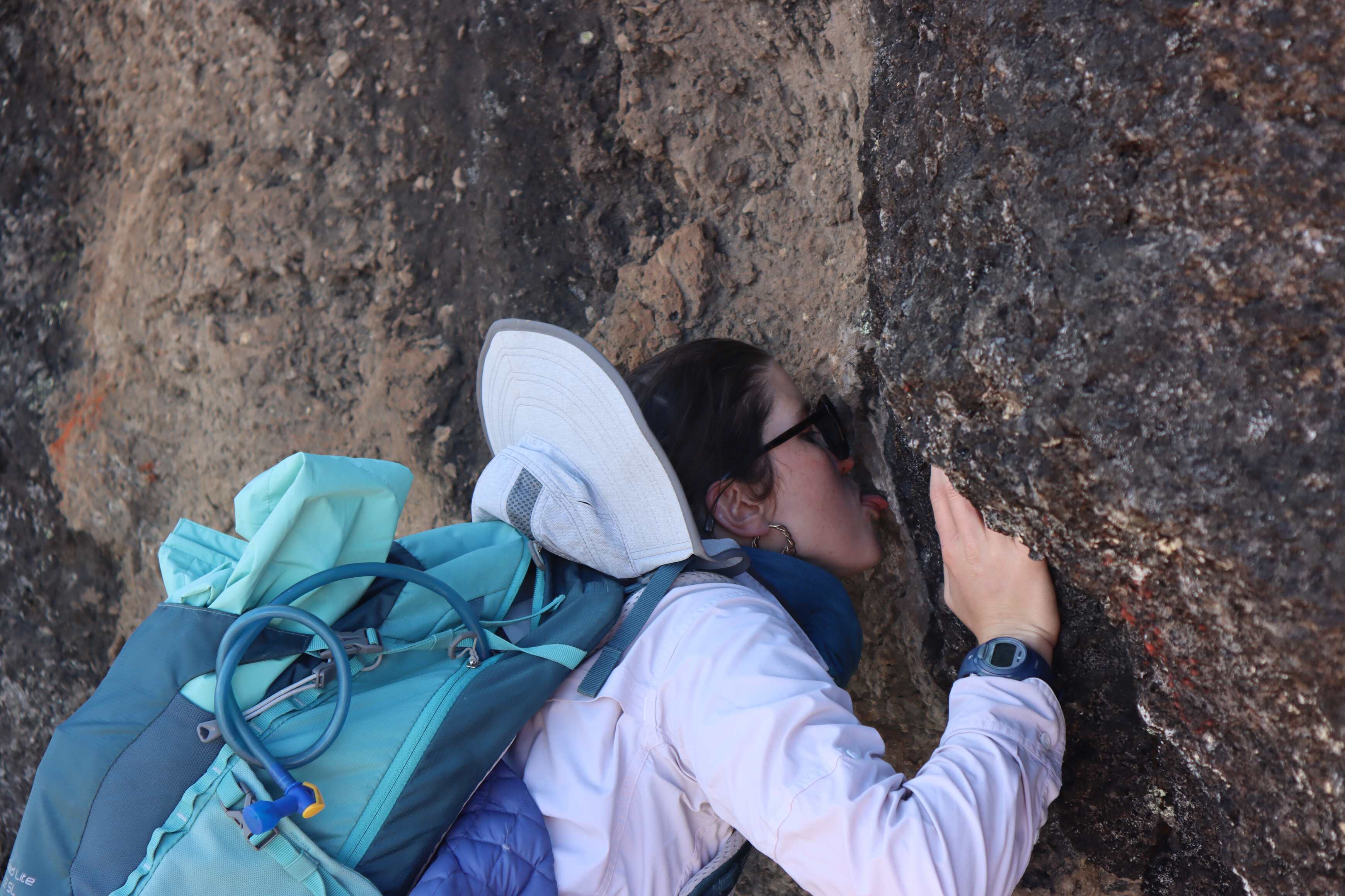
We left the heather zone and moved into the alpine desert, which had far fewer plants. Despite this, it was still scattered with everlasting flowers. This day was a struggle for both of us and we felt the altitude with every step. This is when we learned pole poleslow slow, the slogan of the mountain. We walked in a single file line with one guide in the front and one in the back. The guide in the front set a slow pace for us and took us up the mountain one short step after another. Neither one of us had hiked at such a slow pace, a new experiment for us.
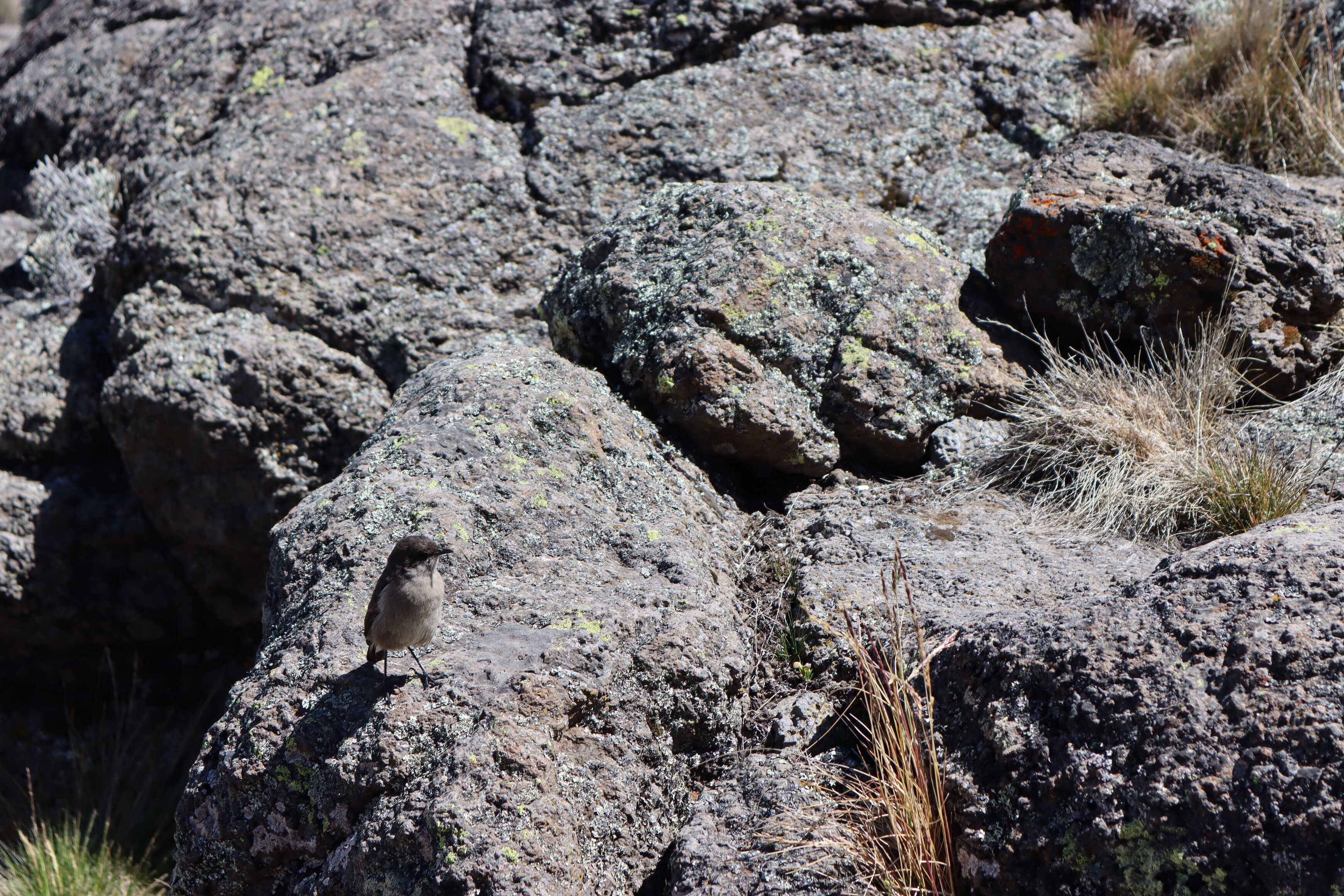
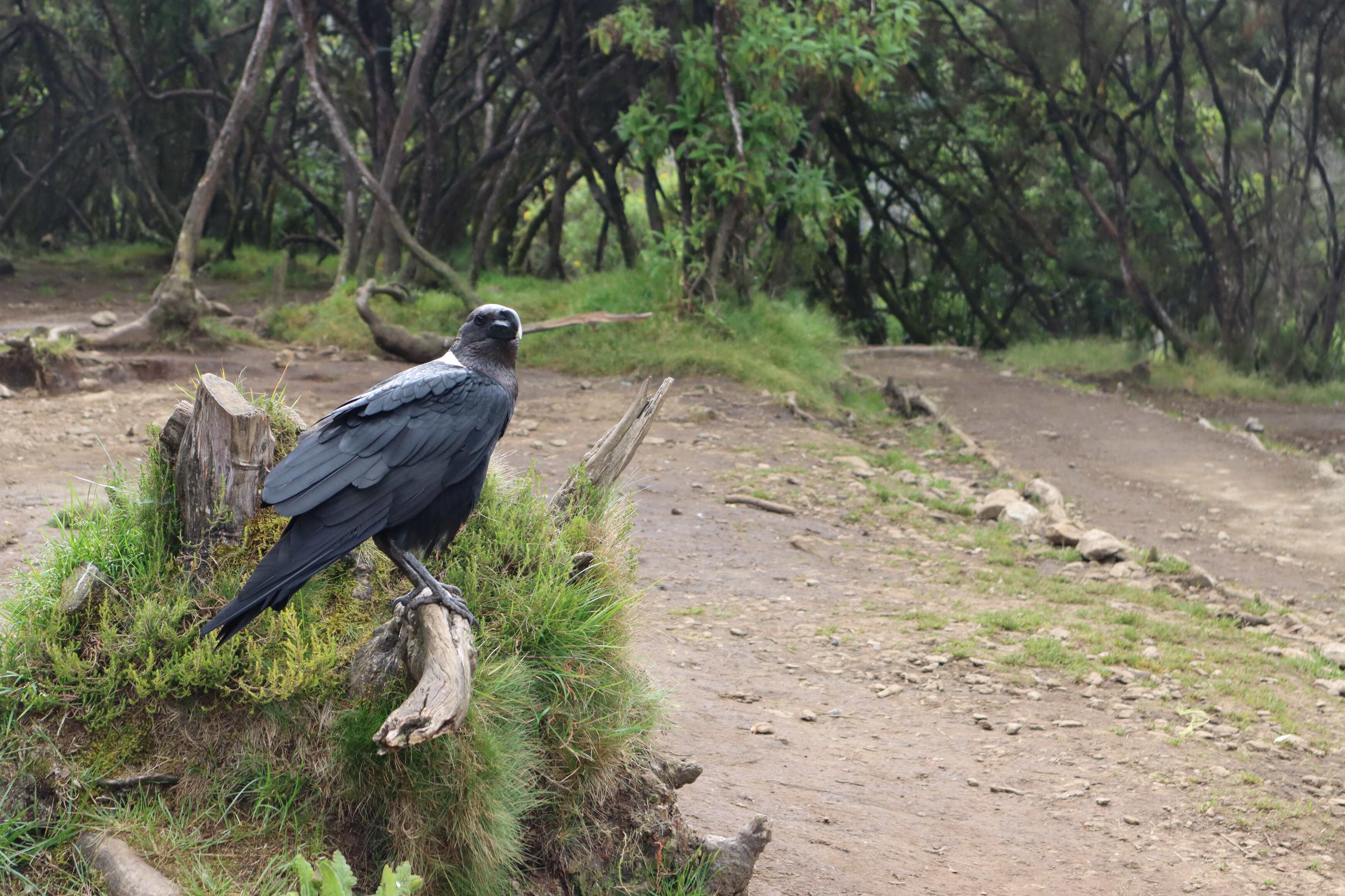
After reaching the first ridgeline on our way to Lava Tower, we found a spot out of the wind for lunch. There we were swarmed with many birds. They were bold. While they did not take any food out of our hands or lunch boxes, they did fly over and perch just a few inches from us. To protect our food we played an endless game of shooing them away with our hiking poles. It was a funny interaction and brought levity to the difficult hike. Later during lunch, Katherine started mimicking a hunting animal where she would let the bird get very close then make a loud noise and thrust her hand like she wanted to grab it. The few birds she did this with did leave, but there were many more to keep shoo-ing.
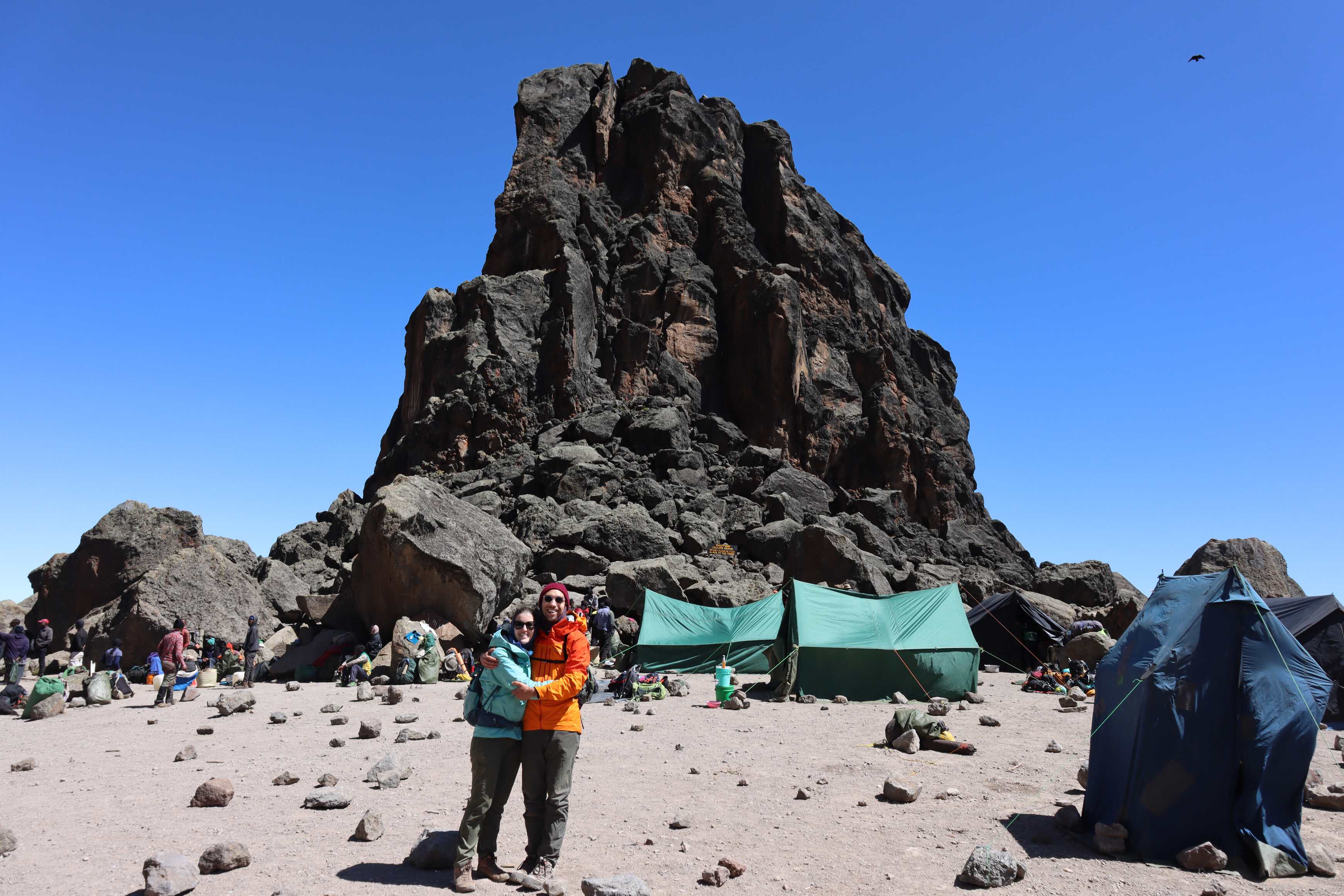
We stopped at Lava Tower for a quick break, some snacks and photos. The campsite was an interesting mix of folks planning to stay the night and larger groups whose team was making them a hot lunch to keep going toward the summit. We were glad we would be able to rest a bit. On our descent our guides we a bit shocked at how slow we both are going down. I think that given our age and fitness they were expecting us to go much faster when not having to work as hard going down. We shared that we both have knee injuries that prevent us from going down quickly, which brought a surprise from our guides as we had been keeping a good pace to that point and seemed strong. Nonetheless, we practiced “pole pole” on the way down as well.
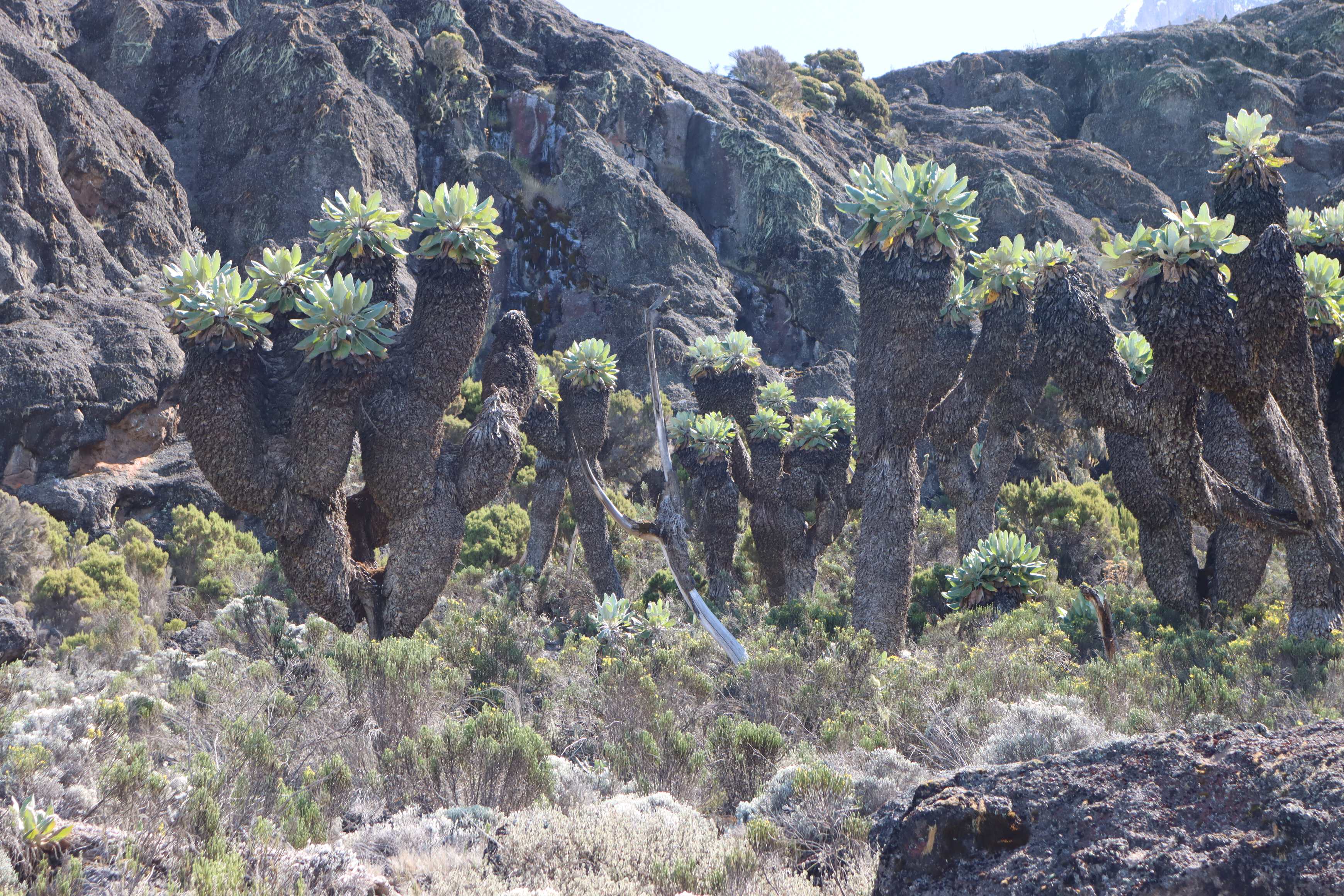
On the way down we also learned about Dendrosenecio kilimanjari a giant groundsel found on Mount Kilimanjaro. Our guides told us two methods of telling their age. The first is to count the rings of dead leaves. Similar to tree rings each one of these rings is about a year. The other way is to count the number of times a trunk splits. Every 25 years, the plant will produce a flower and then create 2-4 new branches from that location. We started counting the age of all we saw from then on, like a fun game that we looked forward to.
Day 4
| Barranco to Karanga | |
|---|---|
| Elevation | 3,90012,795 ft to 3,995 m13,110 ft |
| Distance | 5 km3.1 mi |
| Zone | Alpine Desert (#4) |
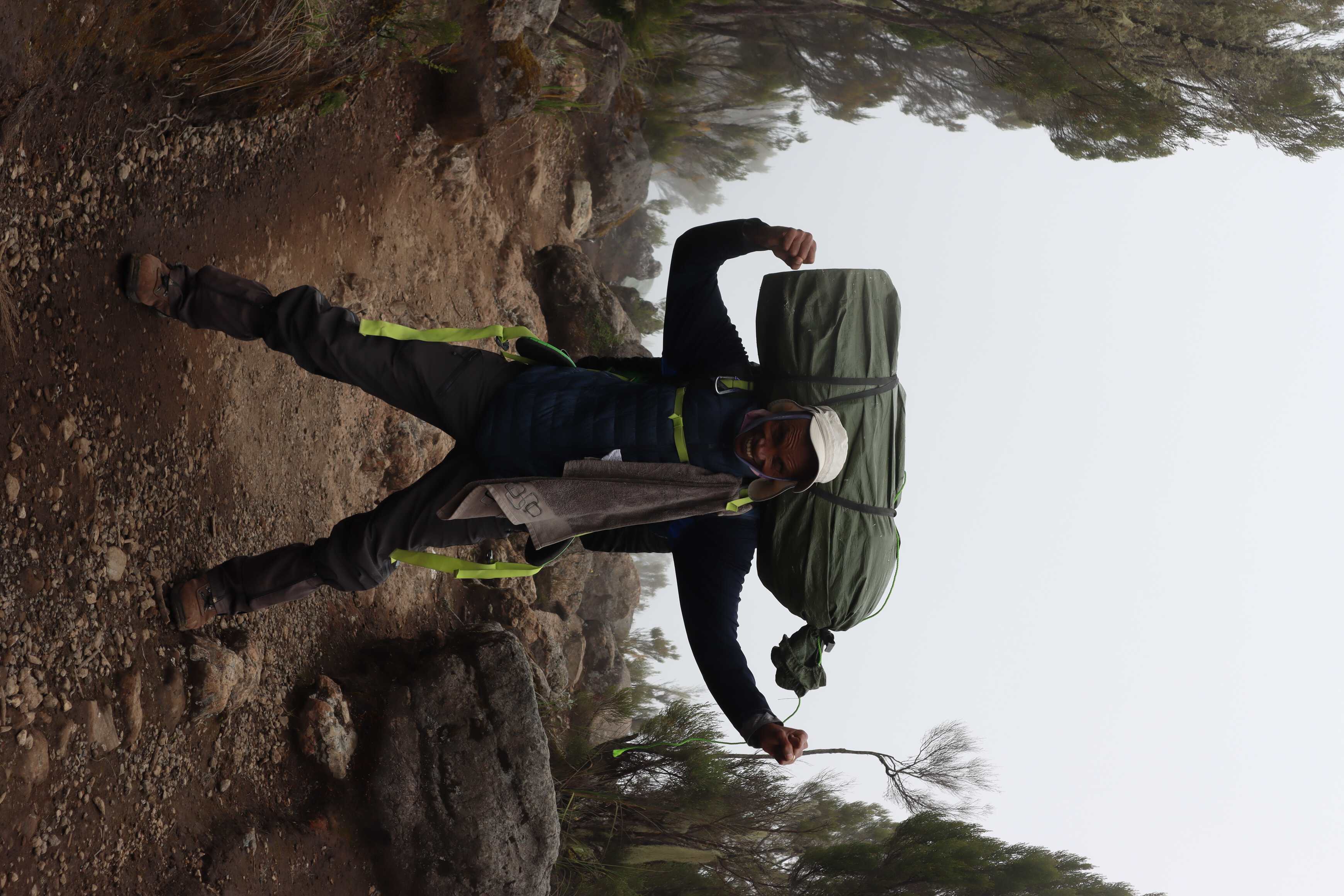
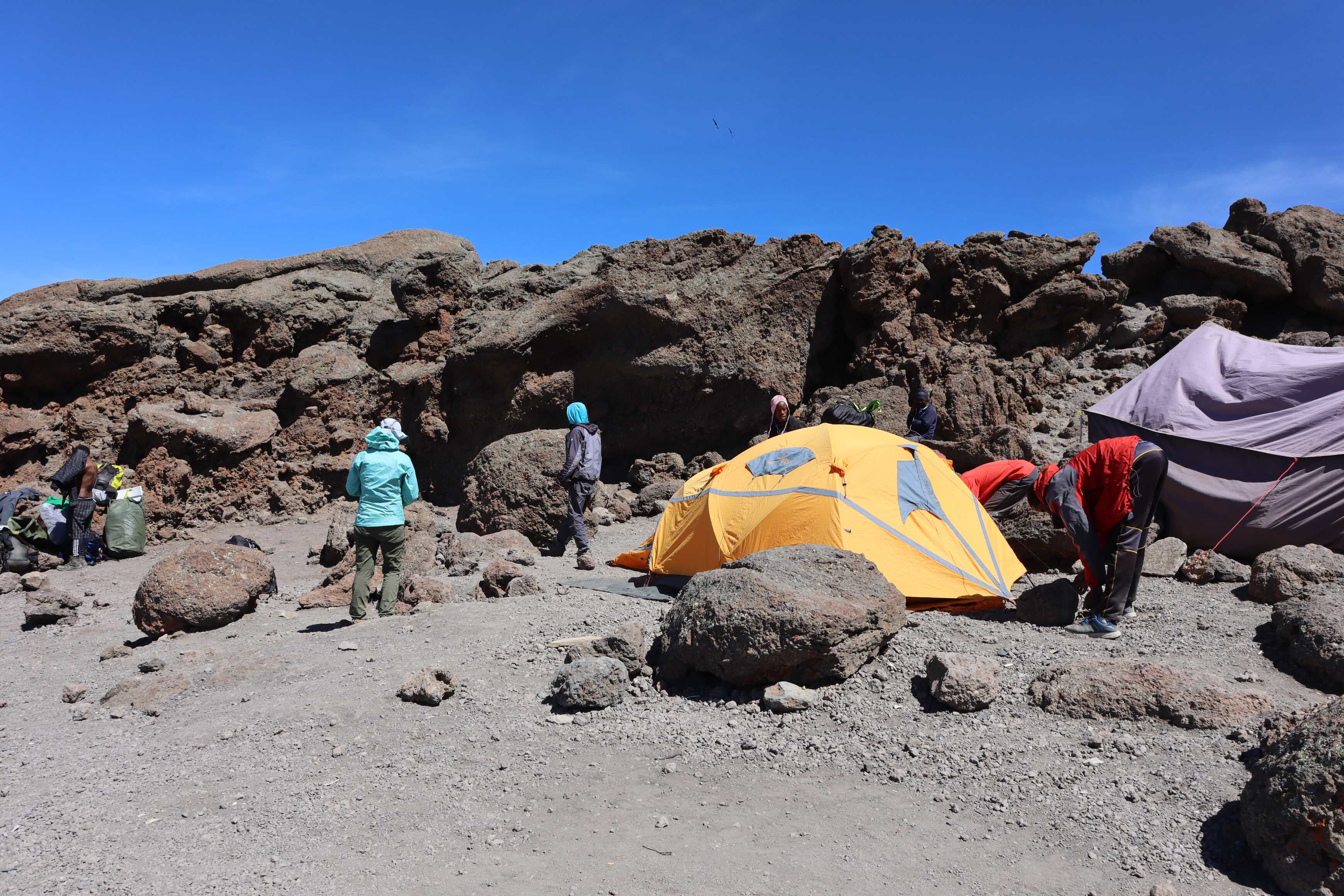
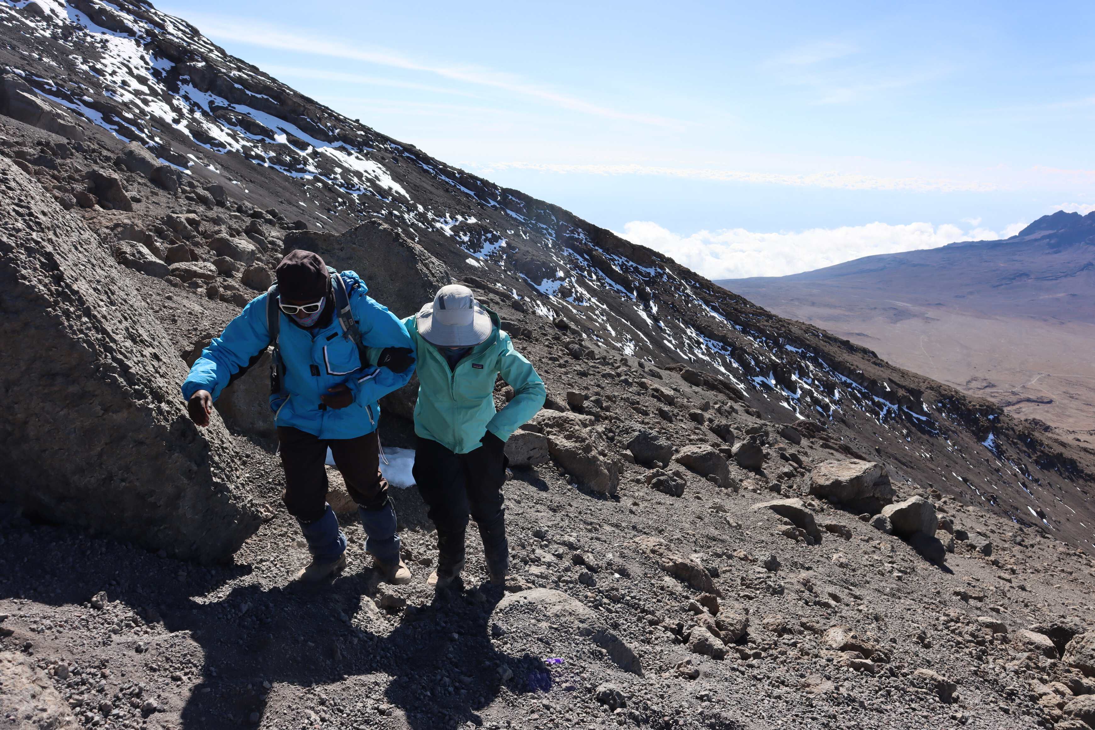
We started with the most technical part of the Machame route. It included a little bit of scrambling up a rock wall with periodic drop-offs directly next to the path. You were aware of the edge at all times and sometimes stepped over small gaps between rocks. I felt at home with this. however, Katherine has a slight fear of heights, so the guides worked with her to feel comfortable as we moved up the rock wall on the narrow path. While this was straightforward for us, with daypacks and two guides, it was incredibly impressive for all the porters going on the same trail. Each was carrying 20 kilos44 pounds on either their head and/or back (based on their preference).
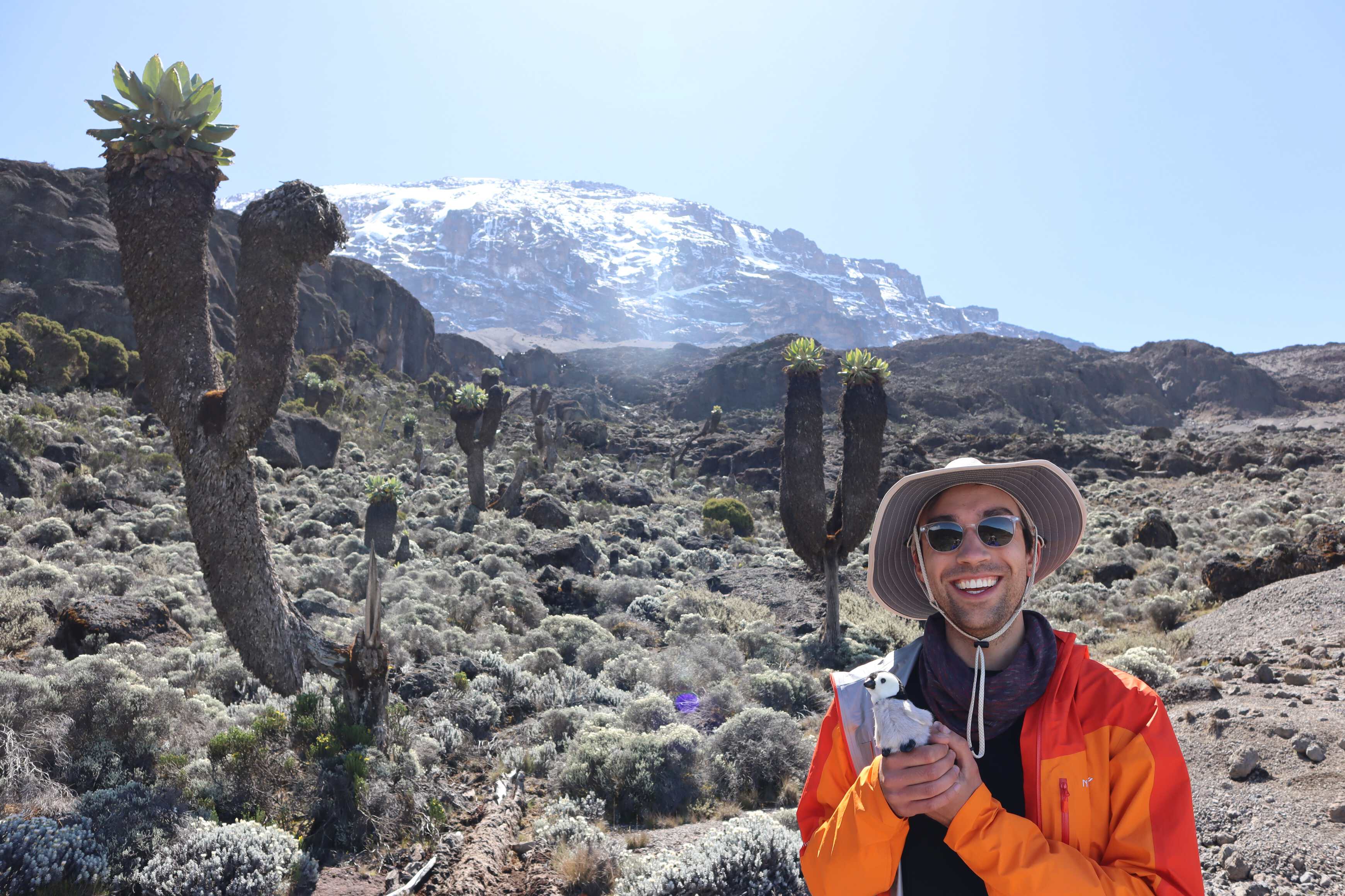
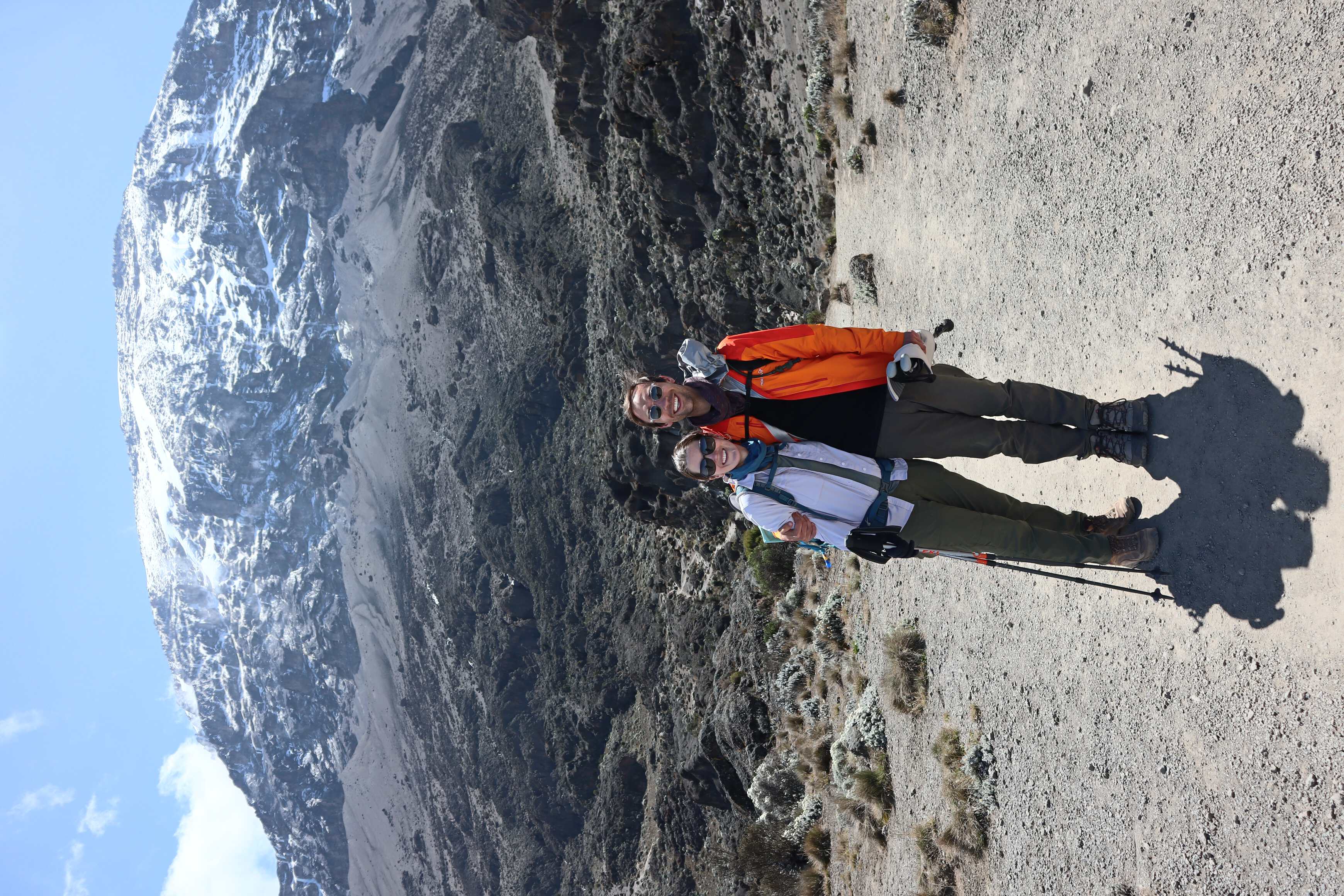
At the top of the wall, we got an amazing view of the snow-capped peak of Kilimanjaro. We took some photos here and then admired the view. Additionally, we also had cell phone service - with Katherine’s phone dinging with a text message (much to her surprise!). Many of the people we passed on this day were doing the same route we were but in 6 days instead of our 7. Where we stopped to camp was where they had lunch before continuing to base camp arriving there at 6 or 7 PM. Where they then slept for 3-4 hours before heading out to the summit at midnight. We were glad we were taking longer for this hike.
As we were hiking, we noticed pockets of salt. Our guides told us that buffalo on the other side of the mountain would climb up to lick the salt that formed on the rocks. One even went into a small cave to lick the salt only to get stuck and die there. It was humbling to think of these animals climbing to the same altitude as us.
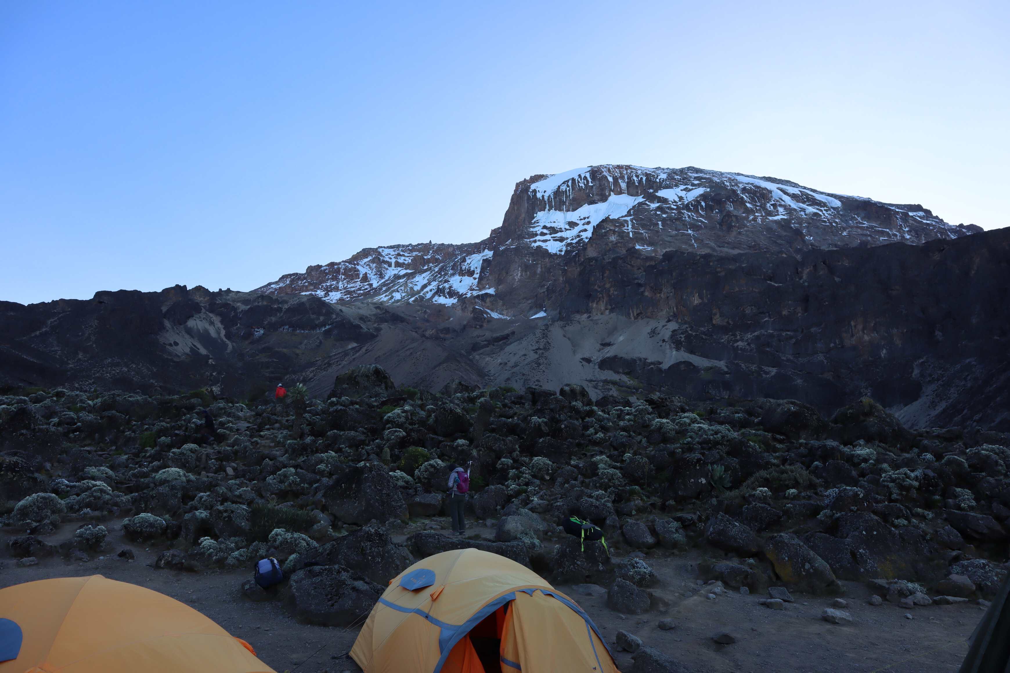
We got to camp early, feeling pretty good. That night, with a clear night. Katherine and I watched the stars again, with her pointing out different constellations. We admired the Milky Way and looked for satellites and even saw a shooting star! It was magical.
Day 5
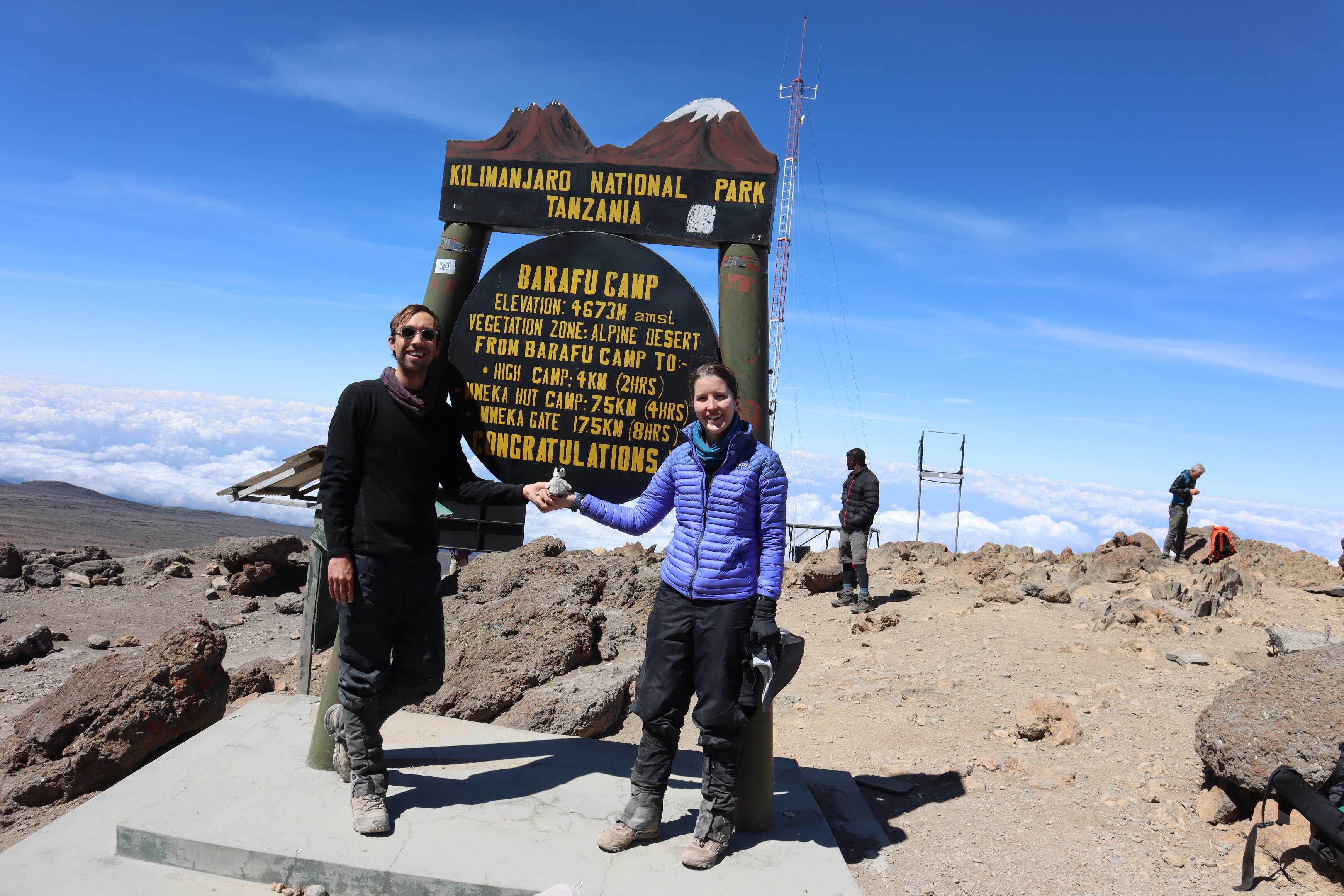
| Karanga to Barafu (Base Camp) | |
|---|---|
| Elevation | 3,99513,110 ft to 4,673 m15,330 ft |
| Distance | 4 km2.5 mi |
| Zone | Alpine Desert (#4) |
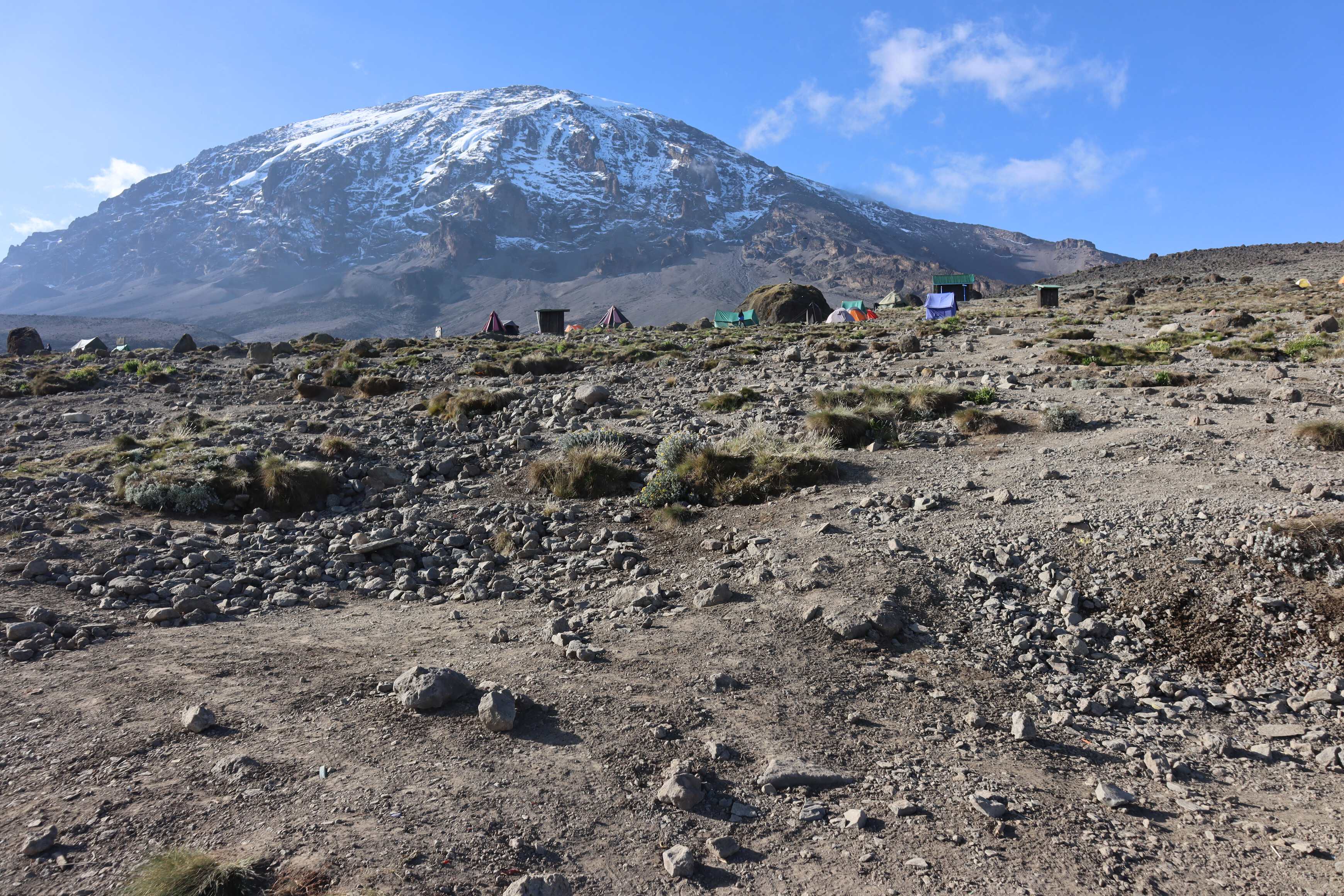
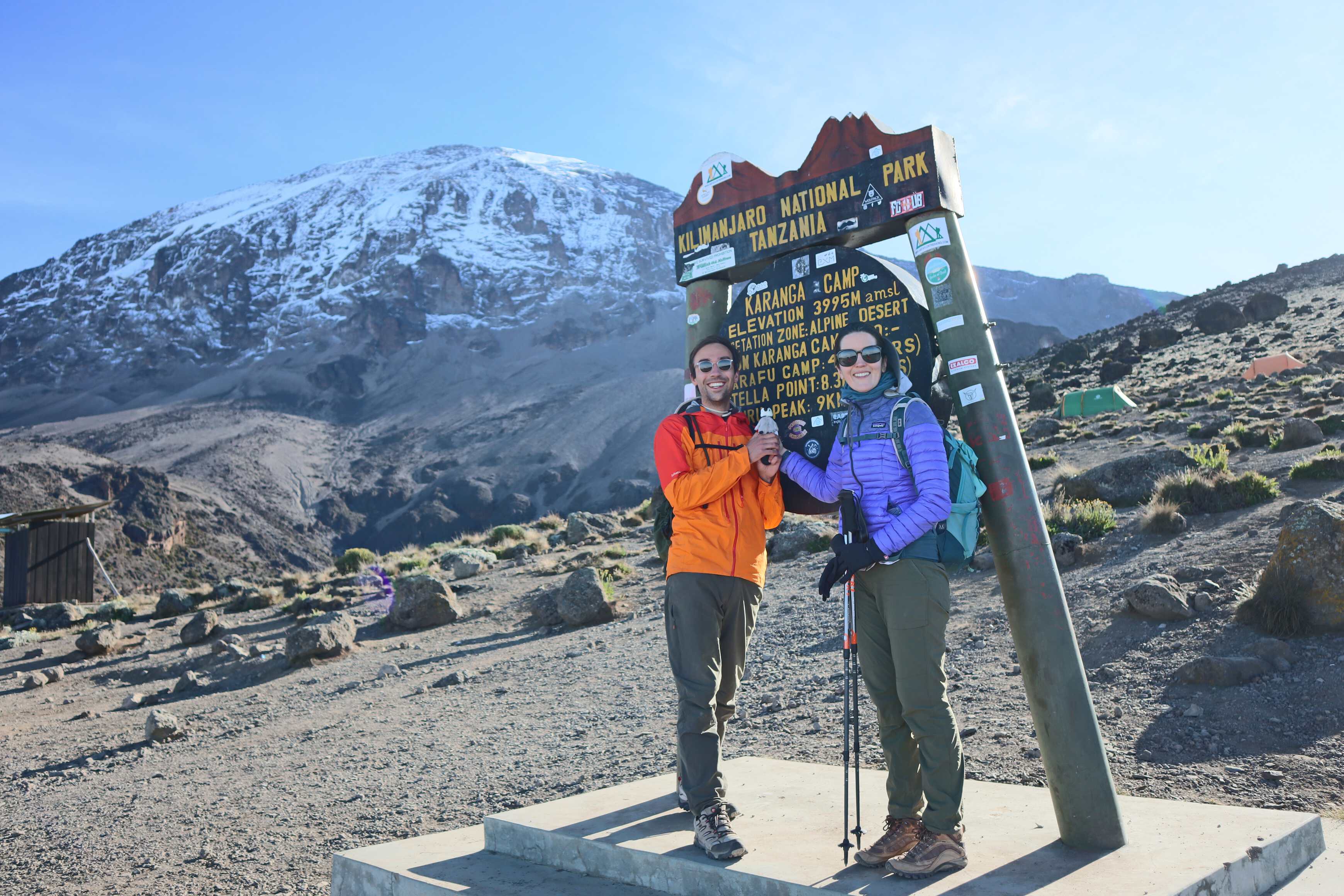
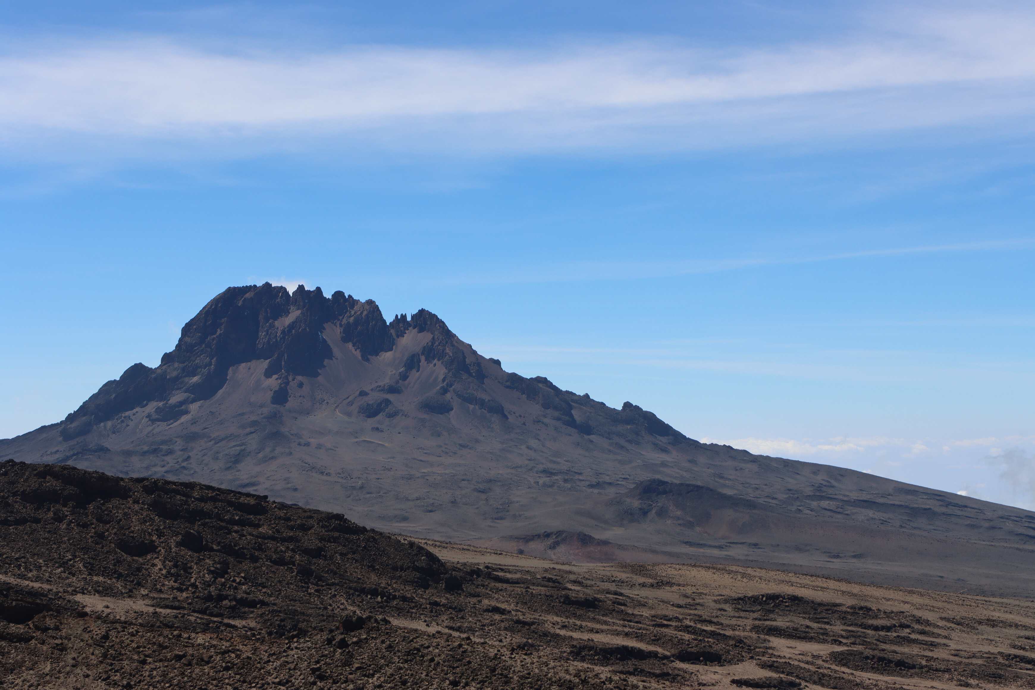
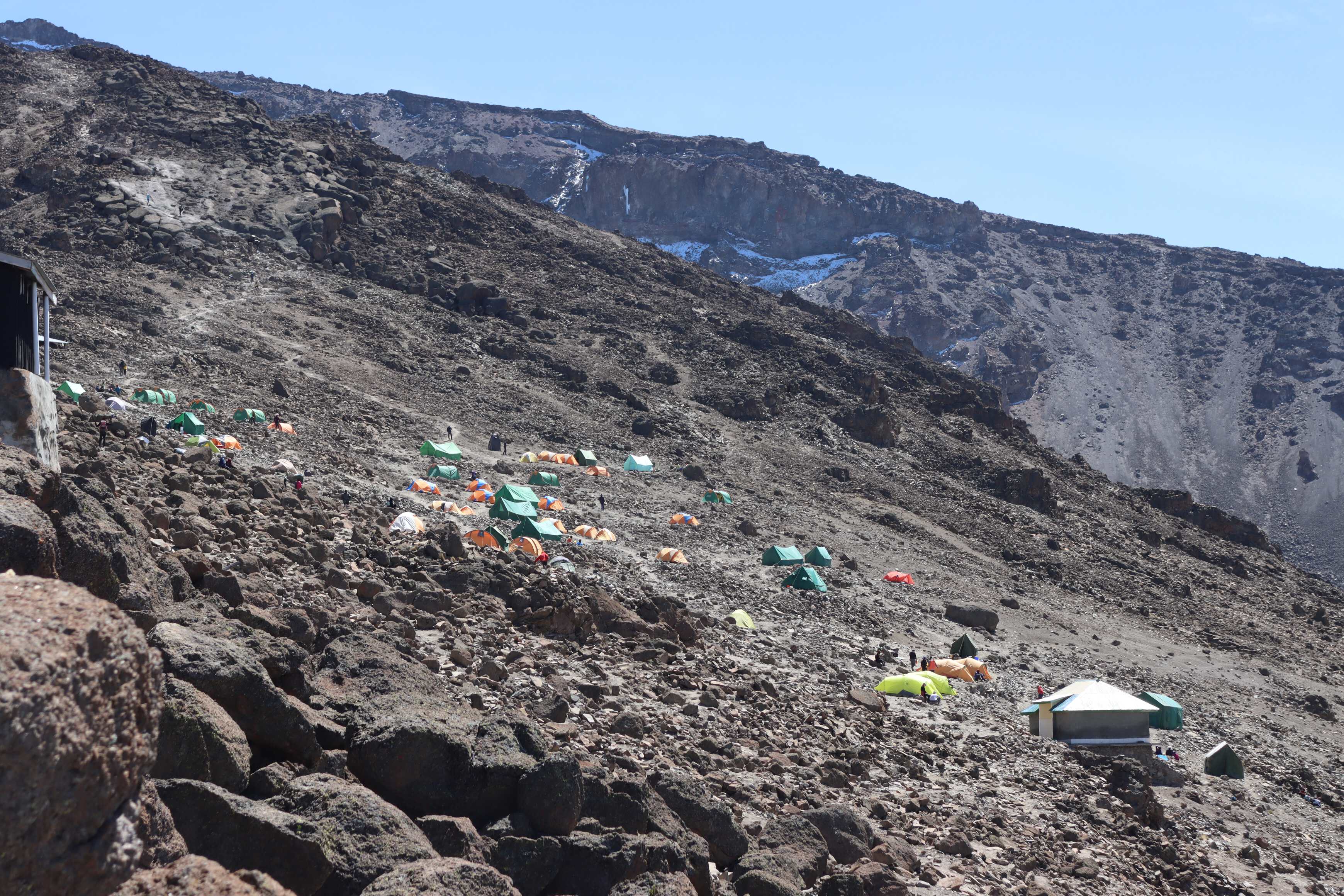
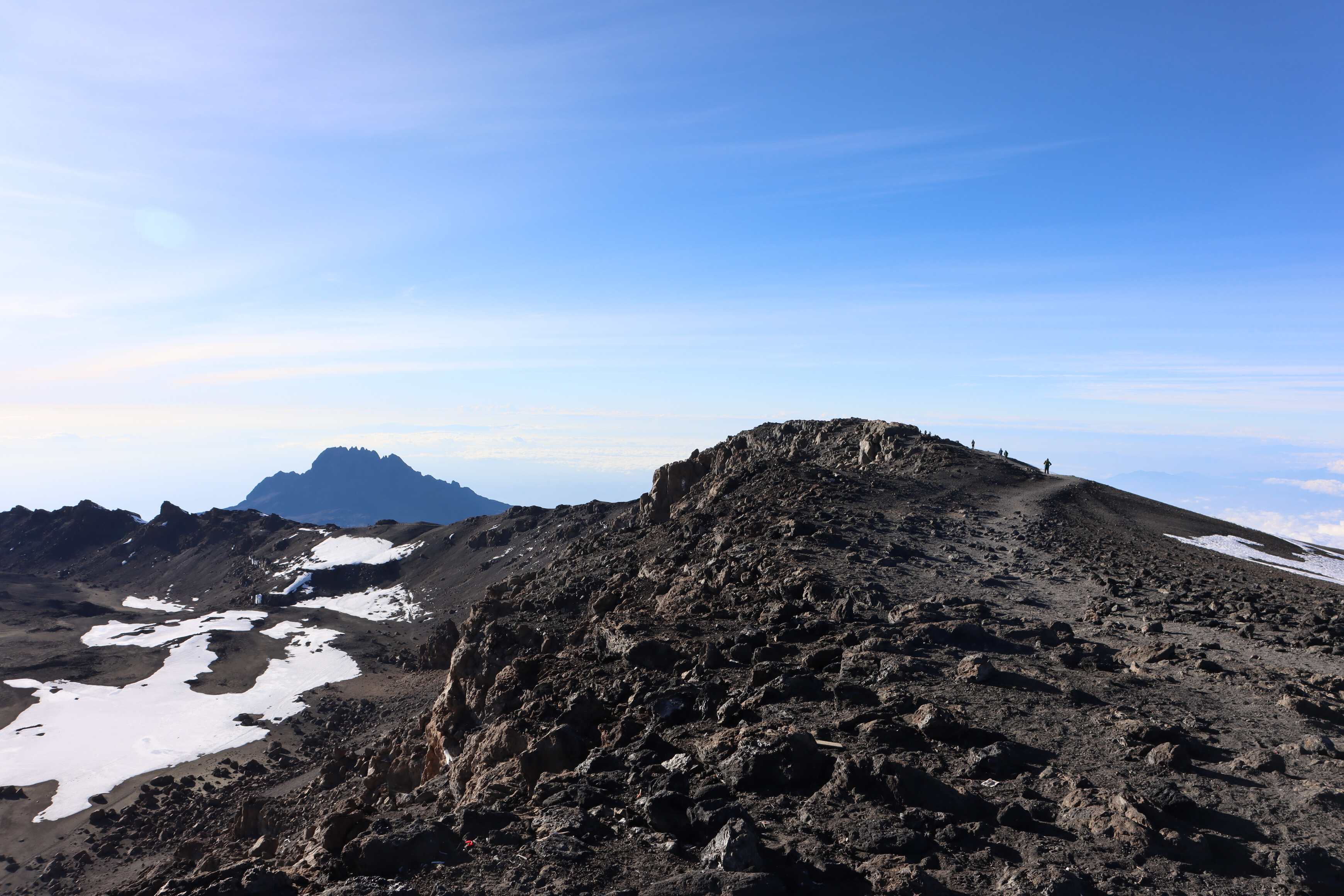
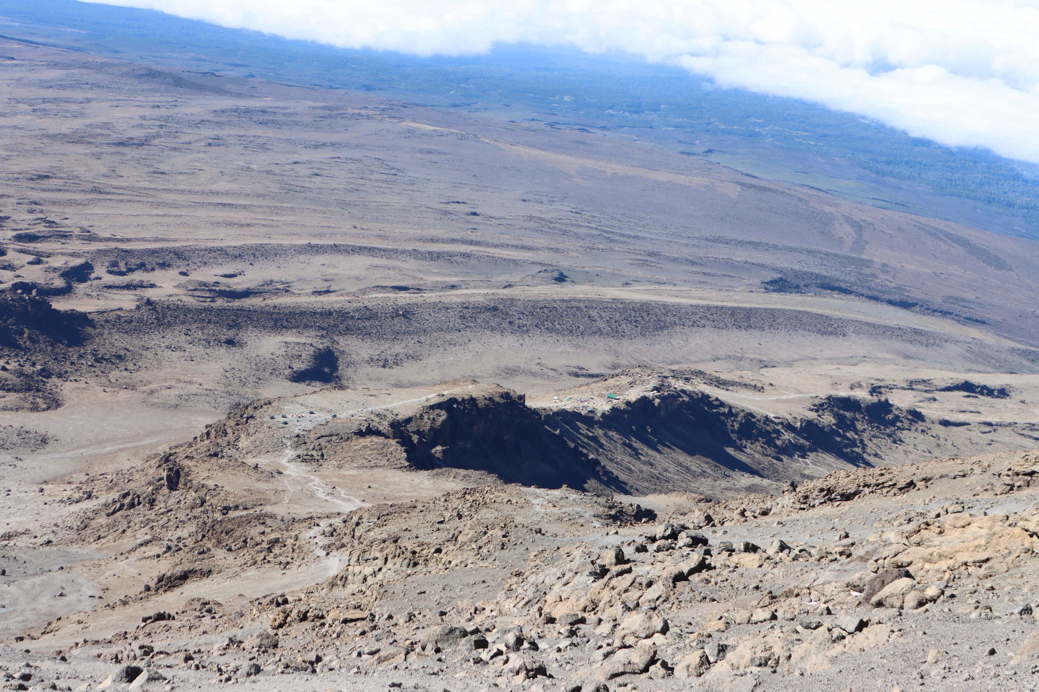
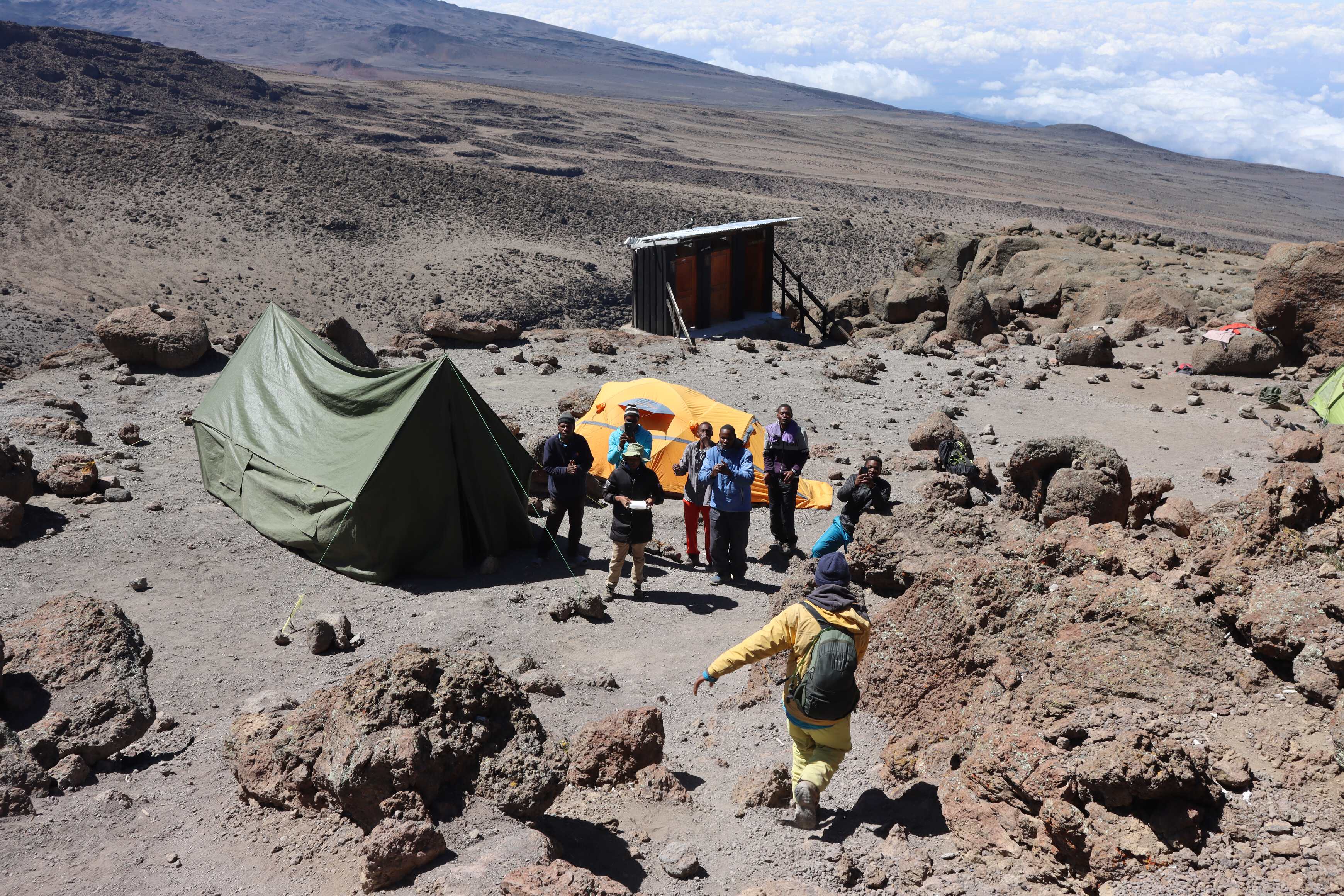
We had a very short hike up to Base Camp - where all the trails merge and everyone sleeps for a handful of hours before summiting. When we got there, we were able to enjoy a hot lunch and do a final check of the gear we would summit in. Along our route so far, we rotated around Mount Kilimanjaro’s front and side. On one side of Base Camp, we could see a breathtaking view of the top of Kilimanjaro and from the other, we could see Mawenzi Peak in the distance. While this nearby peak is not as tall, it is much more technical for climbing. With much admiration, our porters and guides told us stories of how KG had formed the first route up the mountain, that it is some of the only technical climbing in Tanzania and that still to this day KG is the only person permitted to go up.
We were also on a ledge, in an isolated part of the camp. We could see other routes’ trails to base camp, along with the amazing terrain of the area. Given that we were tired, it was hard to breathe, and the temperature was downright cold, we huddled in the tent for almost the entire time we were there, napping and thinking of the trek that night.
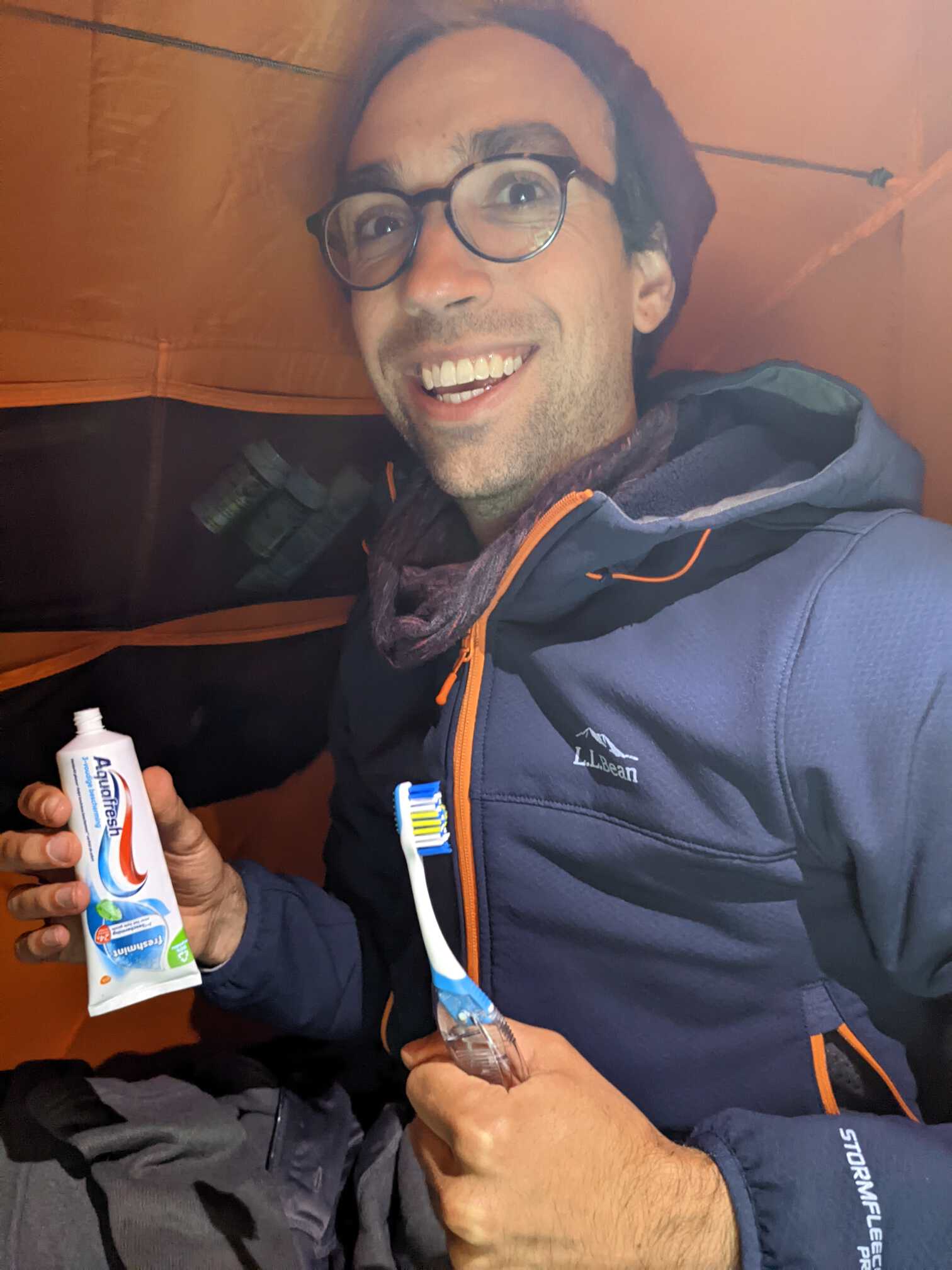
We went to bed as early as we could fall asleep wearing everything we would submit the mountain in. 5 layers of clothes on both top and bottom. We had rented our sleeping bags to not carry our own all around Europe. Similar to the jackets, we ran into another differing definition. For us, a ‘winter’ sleeping bag keeps you warm and is often most insulative when you are not wearing layers. For the ones we rented, the expectation is that you sleep in all of your layers to make up for the lack of insulative properties of the sleeping bag. It felt very different from what we are used to. Nonetheless, we were able to get a handful of hours of sleep.
Day 6
| Barafu to Uhuru Peak | |
|---|---|
| Elevation | 4,67315,330 ft to 5,895 m19,341 ft |
| Distance | 5 km3.1 mi |
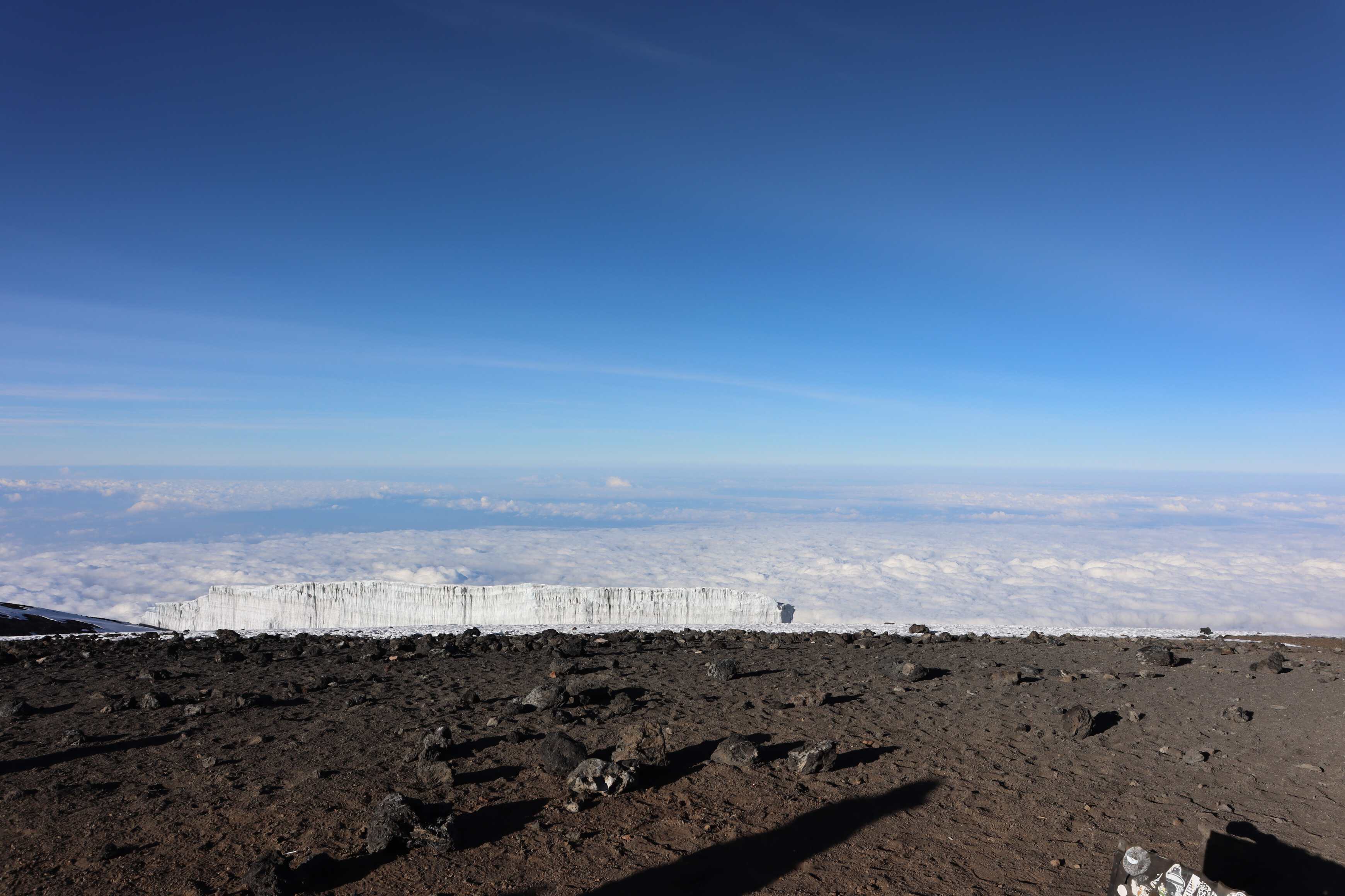
| Zone | Ice glacier (#5) |
| Uhuru Peak to High Camp | |
|---|---|
| Elevation | 5,89519,341 ft to 3,950 m12,960 ft |
| Distance | 10.5 km6.5 mi |
| Zone | Heather Mooreland (#3) |
We were awoken at 11 PM. We had a quick drink of tea/hot water and started our march up the mountain. When we left at midnight, the moon still hadn’t risen. It was dark and cold, below freezing. We continued in the same fashion we had the other days, pole poleslow slow, taking exceptionally small steps one in front of the other. However, this time, we did not talk. Our guides had warned that the oxygen level was so low that any extra effort, such as talking, would be quite hard for your body and would make our journey uncomfortable.
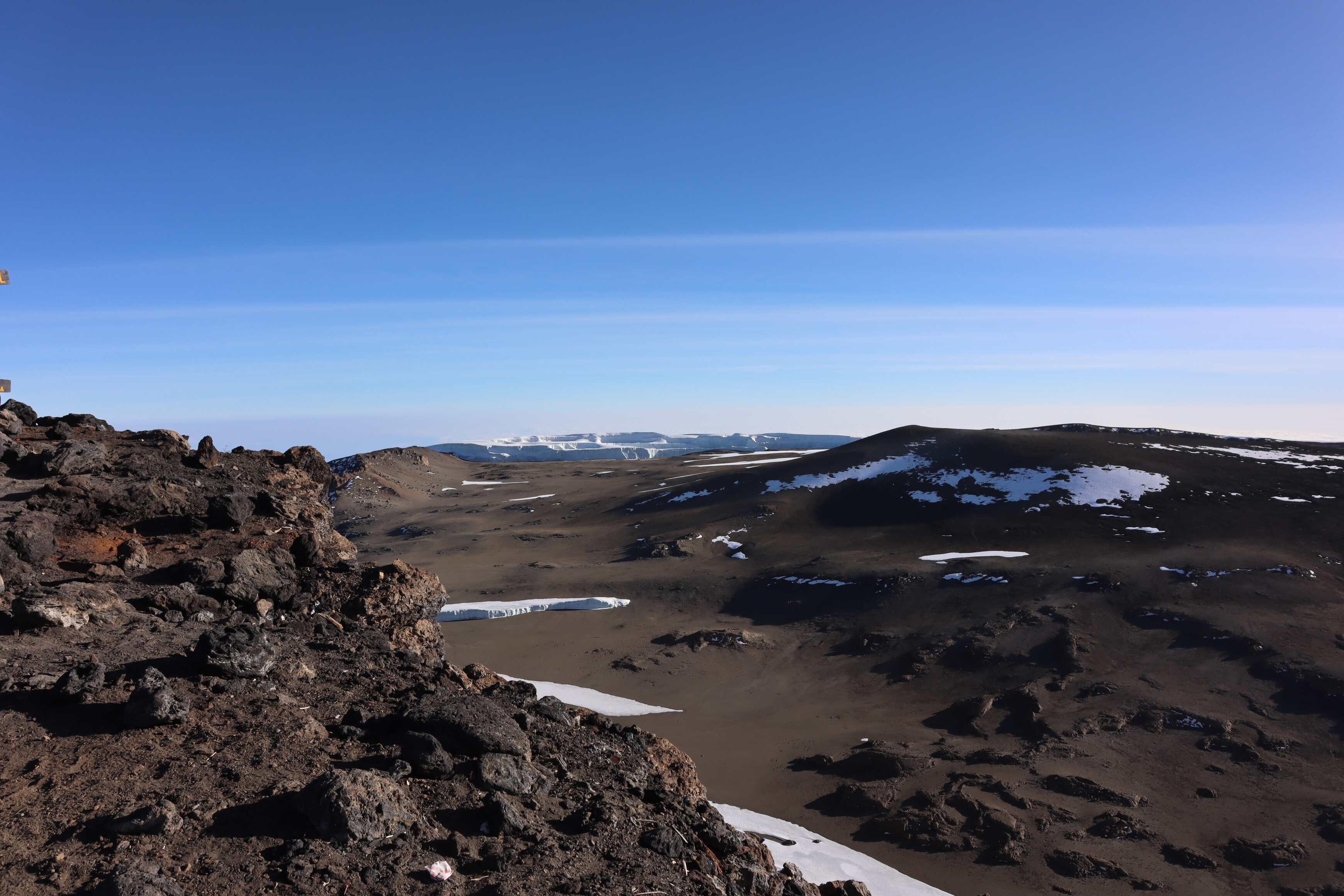
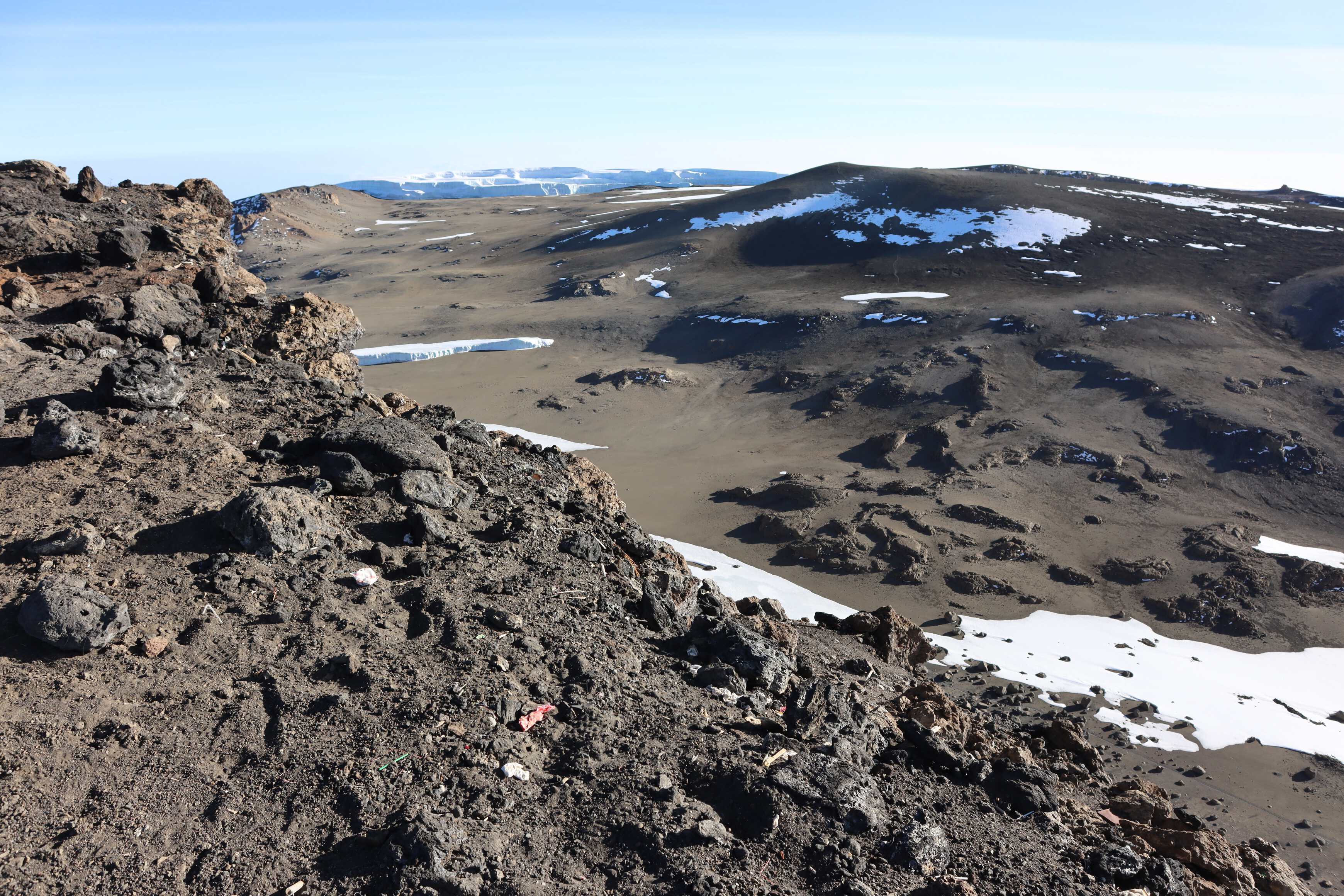
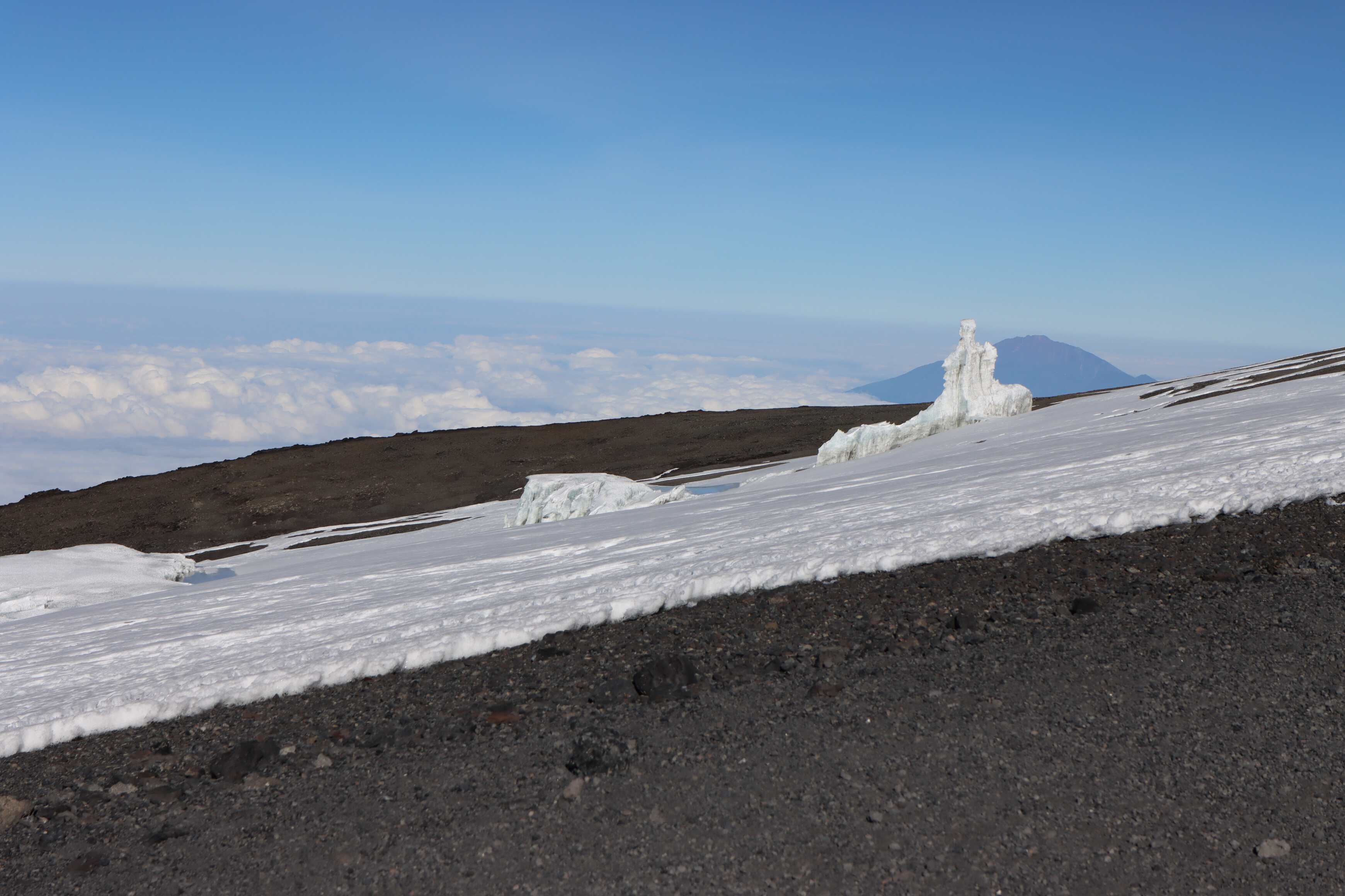
As we ascended we left the alpine desert and entered the 5th and final zone: the Ice glacier. The march up the mountain was cold, difficult, and monotonous. We eat got into the rhythm of only focusing on the next step and then the next one after that. We were in a long line of headlamps, groups of humans trudging up the hill slowly. As we passed people, Katherine would say “Great job! Happy Summit Day!” with enthusiasm to every single group, being a great cheerleader. She did this from start to finish of the hike, even when she was feeling extremely sick herself.
We both were tired, cold, feeling our fingers starting to get numb, and had headaches that just increased in their sharp intensity with the elevation. Every person was in their own mental game of putting that one foot in front of the other, focused on the small beam of light radiating from our headlamps.
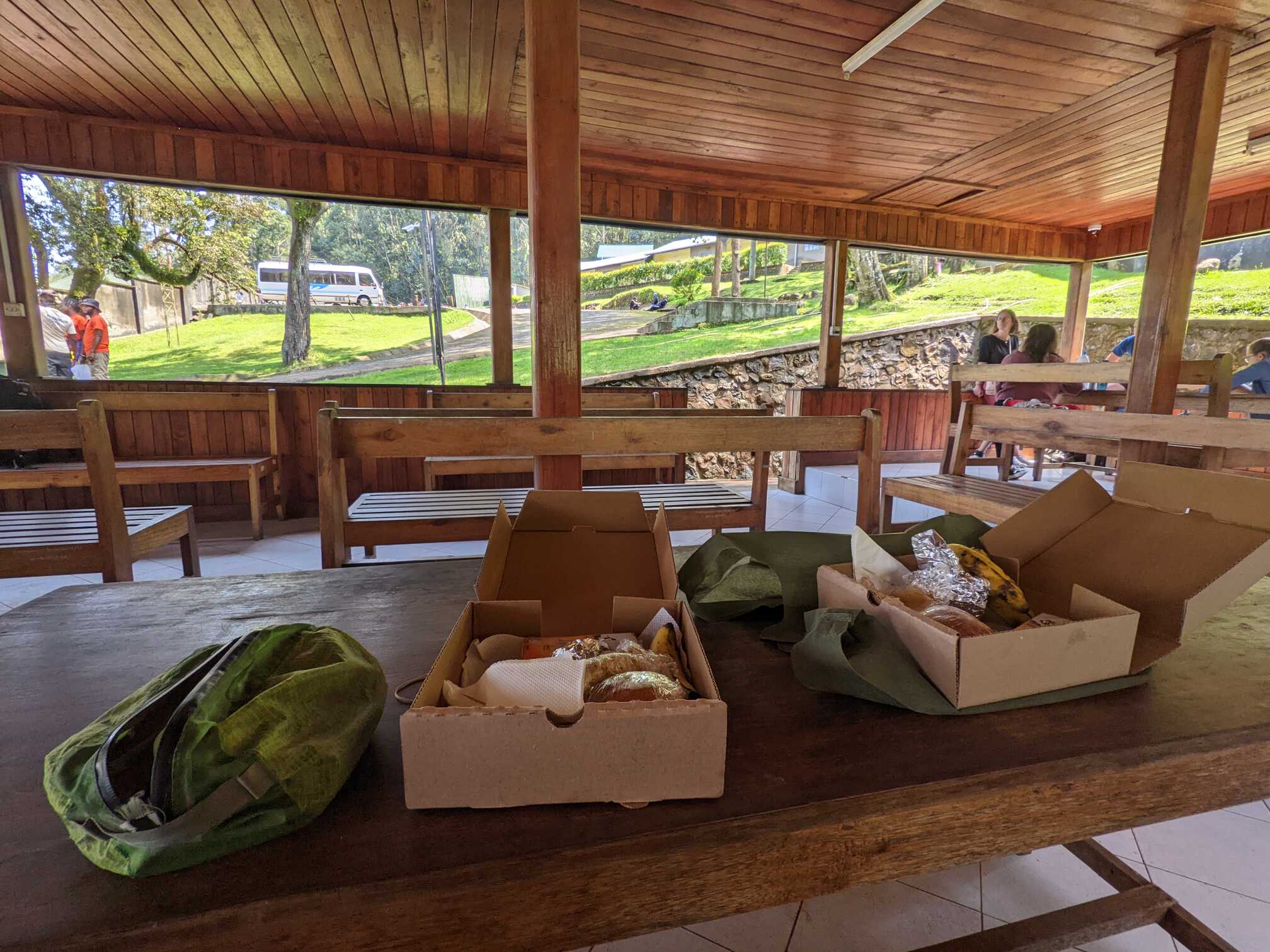
It usually takes at least 6-7 hours to reach the summit, meaning you are walking that whole time, slowly up the mountain, mostly in the dark. The guides also advised us against stopping for breaks, as you need to keep your body warm by moving. We took our first break at 2:30 am, and the guides were thrilled with our progress and focus on walking. As we ascended, we need more breaks because the oxygen level was dropping and it was impacting our body’s ability to keep walking. The top has about half of the oxygen you are used to. For example, sea level air has 20.9% effective oxygen, whereas the summit of Kilimanjaro only has 10.1%. In contrast, Everest is only 6.9%. Katherine was especially impacted by the lack of oxygen, feeling nauseous and sometimes stumbling in her steps from dizziness. Our break consisted of 2-3 minutes stops to catch our breath. And 5-10 minutes to sit and drink a cup of tea.
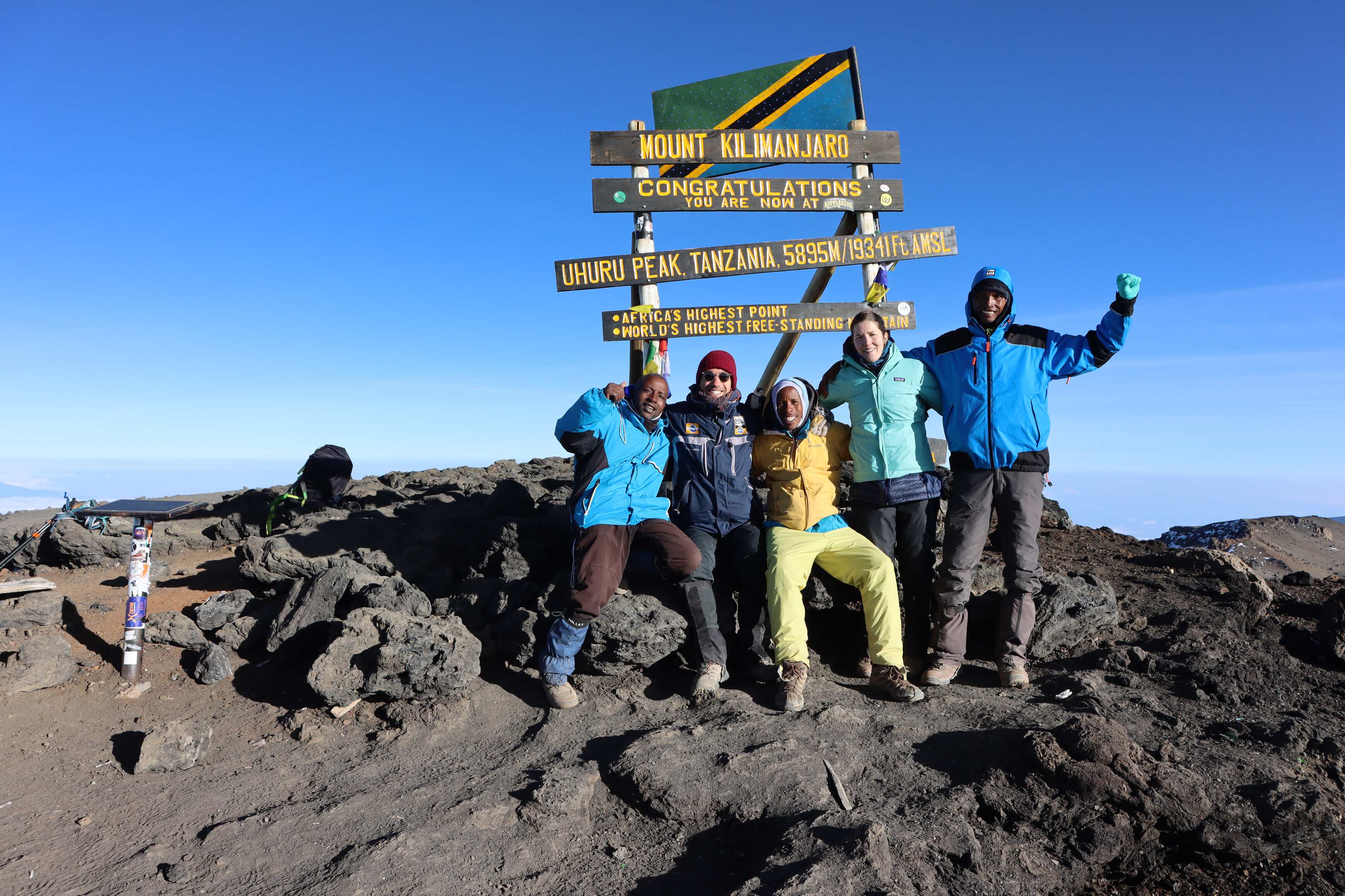
To help boost our spirits, Hussein, one of our guides, and John, the porter summiting with us, sang to us as we hiked. Around 5 AM, it was clear that Katherine was struggling with her nausea, headache, and dizziness. We took a break and she sat there and cried, a release of the stress and intensity of the experience. I held her and rubbed her back, comforting her, until she calmed. After she cried, she just said “okay, let’s keep going. I’m okay and feel better”, trying to relieve the guides of their nervousness from watching her cry. She said she felt better from crying, as it allowed her body to reset. The guides also wanted to take her daypack, which only contained her water, to reduce the weight. She insisted on both carrying her pack and not having help in walking up (leaning on the arm of a guide). She said, “I want to do this myself with this backpack, otherwise summiting won’t feel like I actually did it.” Nonetheless, we kept going and Katherine carried her backpack (and herself) the entire way up.
About two-thirds of the way up, before Stella Point, the sun finally broke the horizon line and started warming us up. It was the best sunrise of my life. We got to the first ridge line and were both struggling with the altitude. Reaching the summit seemed far away with our tiny, tiny steps.
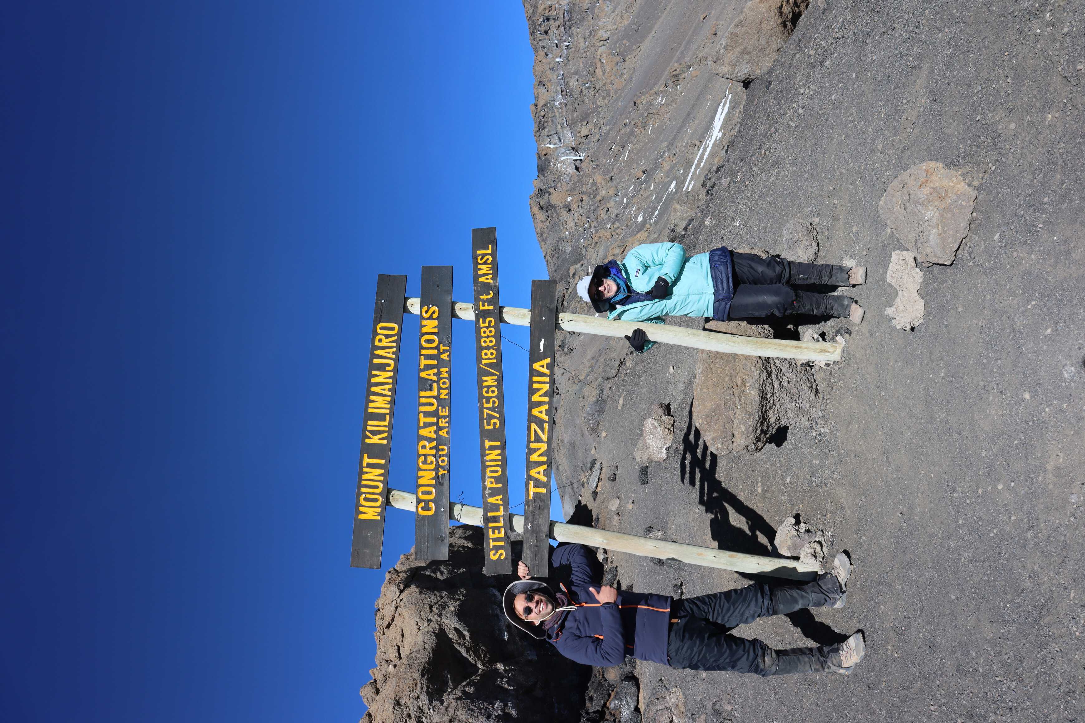
At 7 AM we reached Stella Point. Here we took a longer 20-minute break and enjoyed the view before continuing to the summit. The trail was on a slight incline but at that moment, it felt steep. At this point, we started seeing people walking down the mountain. We were confused about how they were able to move so quickly - many of them even running. How was it so hard for us to go up and so easy for them to go down?
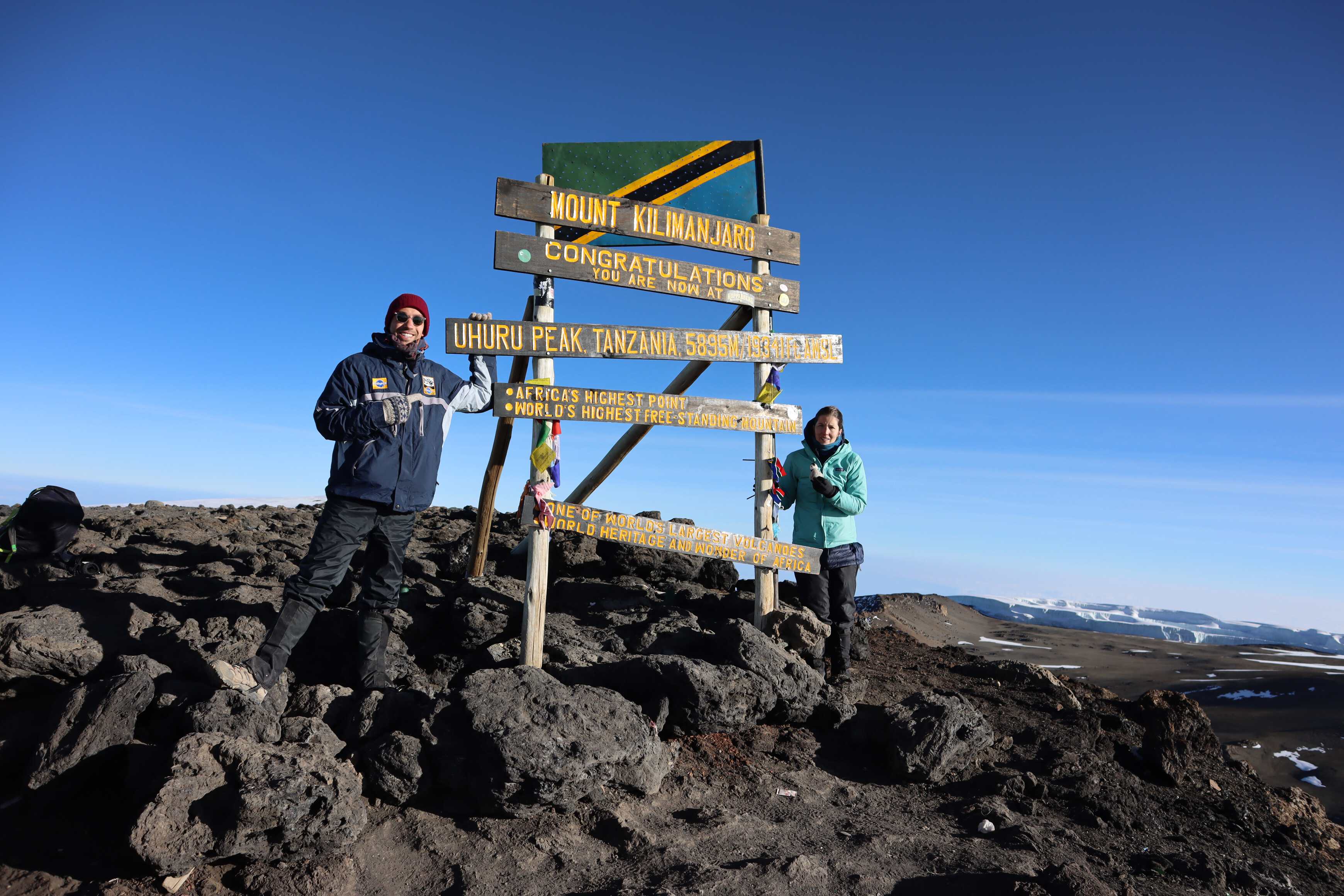
We dragged ourselves up and trudged to the top at a slow slow pace. People coming down were saying “you are so close, great job!” At this point, we were just focused on getting there. Katherine felt like a robot, not even thinking or processing everything beyond moving her feet. Everything else was so uncomfortable and numb that it faded away.
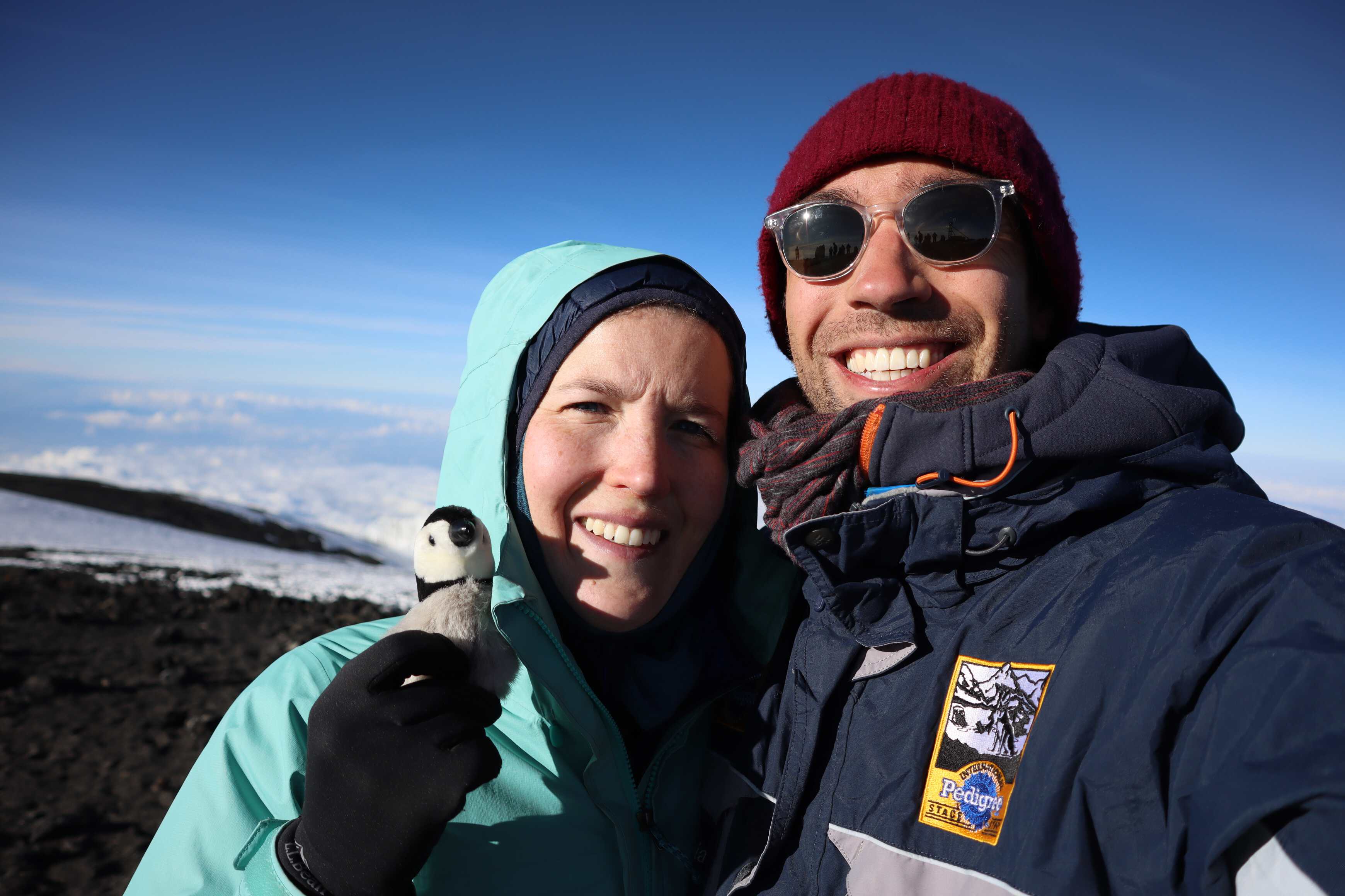
Summiting was a blur and still feels something like a dream. We took a handful of photos, looked around, and ate some food. Then we started the process of walking down the way we came. Katherine immediately gave her backpack to the guides. With the adrenaline drained, she also realized she had a hard time walking. She walked up to Julius (the lead guide) and took his arm.
The day before, Julius explained that if we can’t make it up on our own, he and Hussein would take our arms and help us walk up with us leaning on them. Katherine did this with first Julius, then Hussein, on the walk down. She leaned completely on Julius, relying on him for balance and pacing. Our group’s goal became to descend as fast as possible so that we could get to an area with more oxygen levels in the air - which would relieve the altitude sickness Katherine was experiencing.
While doing the hike down, we stopped and took many breaks. Twice, Katherine vomited from the altitude sickness. After the first, she cried again. I sat next to her, rubbing her back and holding her hair back, generally supporting her. We would sit hugging quietly for a couple of minutes as she calmed down. Then we got up and kept hiking down.
Descending was challenging for Katherine but a joy for me. John and I were jogging down the slope having a fun time sliding on the loose rock. John didn’t speak much English we were able to communicate with a few words, similes, laughs and exclamations of excitement.
When we got to Base camp we sat at the sign, Katherine cried again with relief and continued to process the experience. We had made it back but still had more hiking to do today.
“I summited once, vomited twice, and cried three times” is now how Katherine describes her experience, with a joy and lightness not felt on the day.
When we arrived at our campsite, the team surprised us with a song! It was an amazing celebration of this journey made. Reminding us to stop and reflect on what we had accomplished.
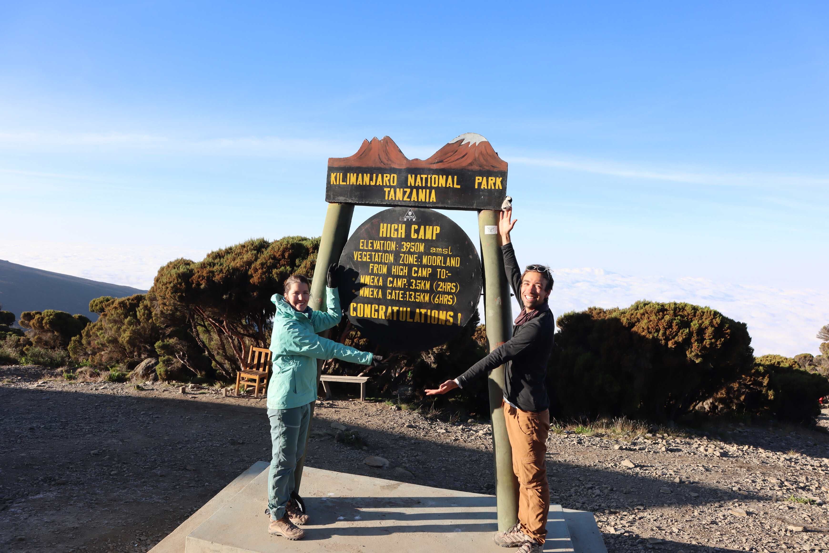
We took a few hours to rest at camp and have lunch. We took a longer amount of time here than planned due to Katherine’s altitude sickness. After resting, we had to decide how much longer we would hike today. We planned to hike another 4 hours to Mweka camp to get to a much lower altitude. However, High camp (a higher altitude camp, as its name implies) was only 2 hours away. I advocated for the closer camp to give ourselves more time to rest, which ended up being the right decision for everyone.
Day 7 - High Camp to Mweka Gate
| High Camp to Mweka Gate | |
|---|---|
| Elevation | 3,95012,960 ft to 1,640 m5,380 ft |
| Distance | 10 km6.2 mi |
| Zone | Rainforest (#3) |
We left High Camp at the top of the heather zone in the morning with everyone feeling a bit better. It was lovely to pass through all the familiar plants that we had seen on the first two days. On the way down, we continued to learn more about the mountain and the life of porters from our guides. We were walking down the most popular re-supply route for porters working with larger groups, where they brought rubbish down and food up.
Honestly, it felt surreal to know that the experience was about to come to an end. We kept reflecting on how short the week felt, and how unique of an experience we had.
Our bodies were happy to have the increasing oxygen and moisture. The oxygen helped relieve our headaches. And the moisture was a blessing on our dry skin, caped lips and unhappy noses. Our bodies were relieved, our noses were running, and we were happy.
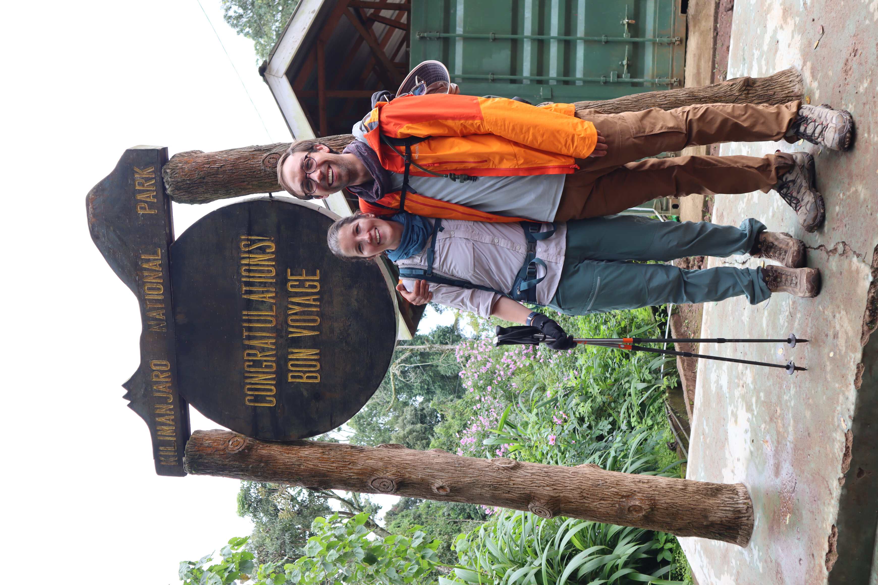
When we made it back to the parking lot, the coordinator greeted us and congratulated us. We gave our guides our legal names and ages to our guide. And they went into the front office to have the park print our certificates. Which contain our names, ages, and when we submitted (date and time). We are planning to have them framed at the end of our migration!
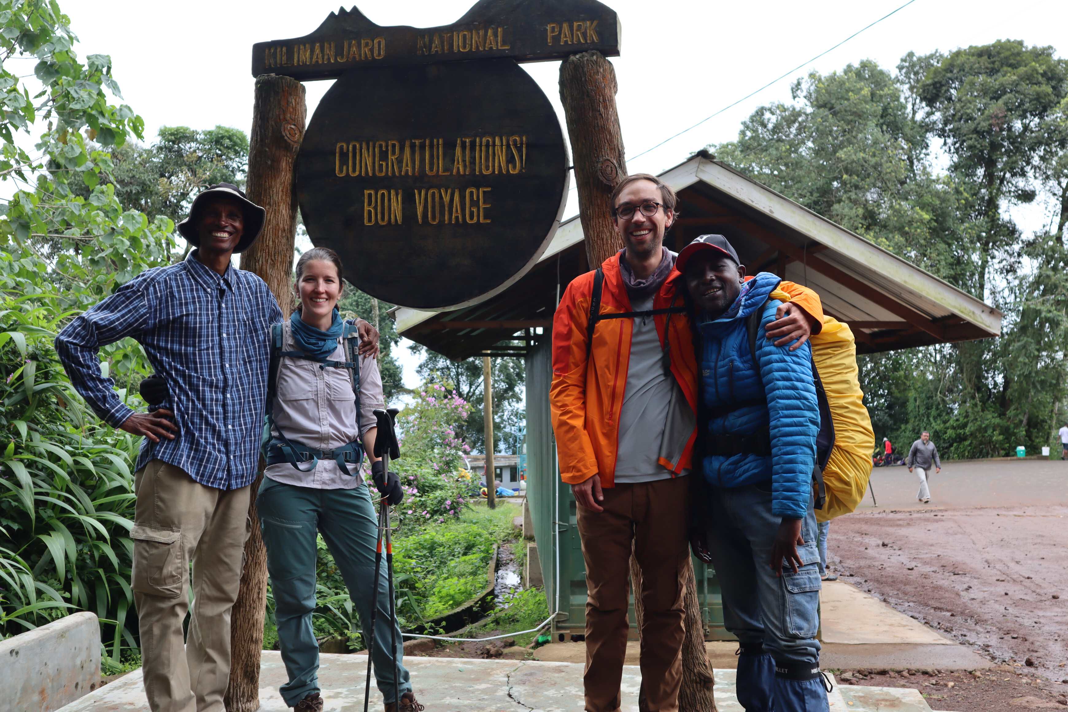
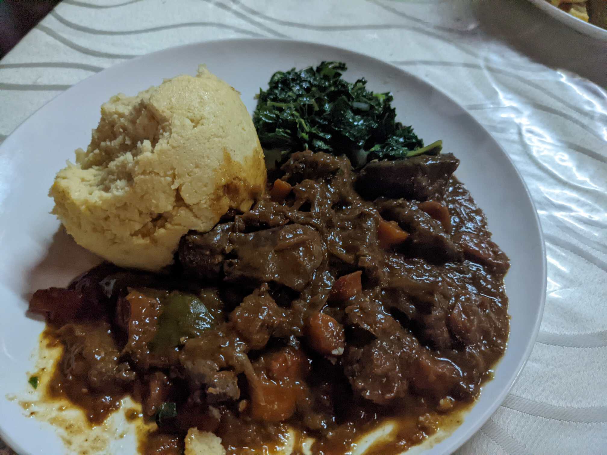
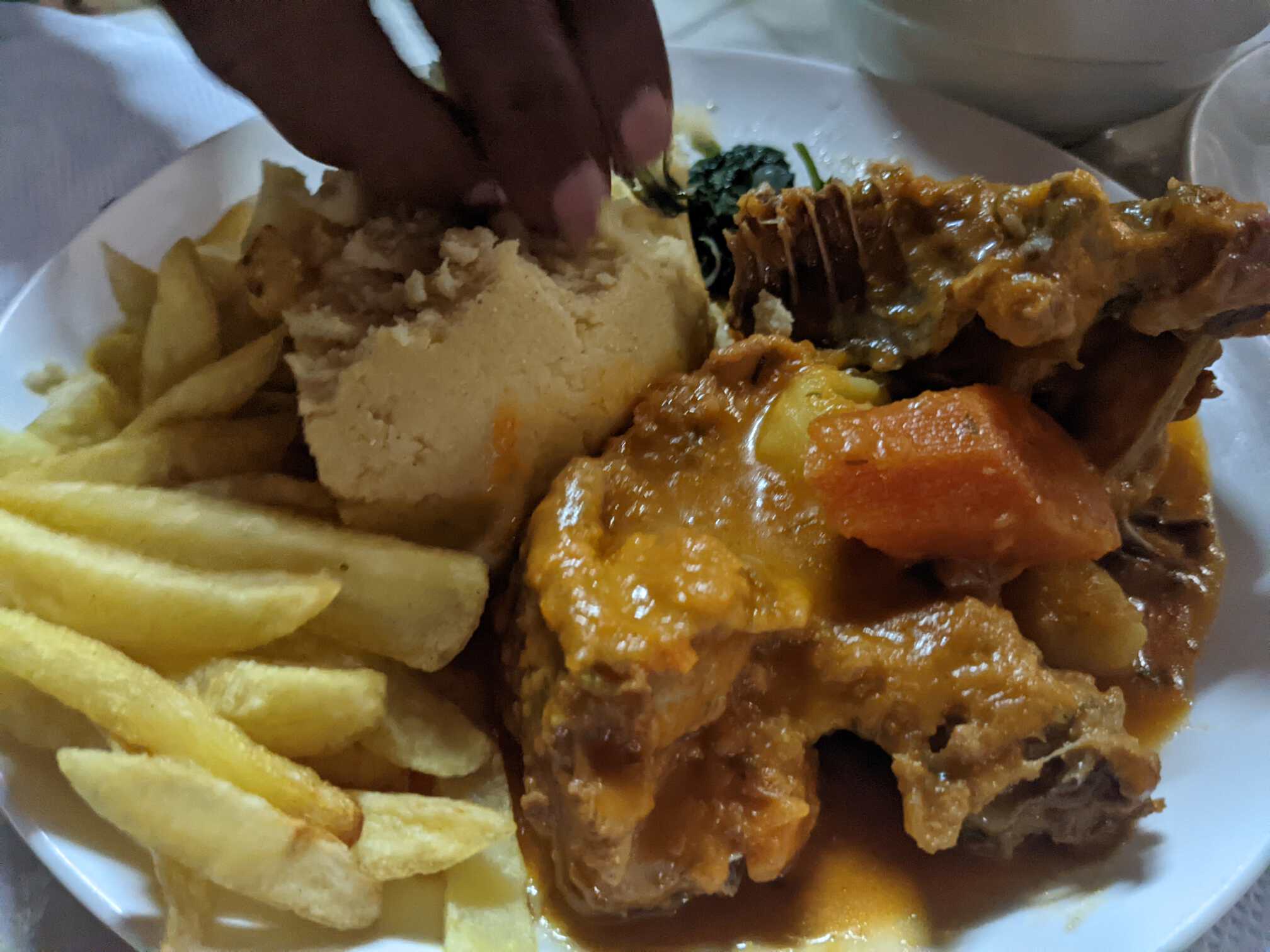
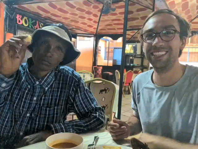
From the base of the mountain, we drove to a nearby town named Moshi. Here we ate lunch with the guides, Julius and Hussein. It was the first time in a week we had the pleasure of sharing a meal with someone other than ourselves. For this meal, we were energized and chatty. We had been told about Ugali, a local corn side similar to polenta. Now we finally got to try it. The guides ordered Ugali with chicken sauce and a liver sauce, and we ordered fried chicken and fired fish. Almost immediately, we were all sharing the four dishes family style. It was a special moment for us to celebrate with them and solidify the bond we had made. Beyond that, it was by far the best food we had so far in Tanzania. Our only regret was not insisting that the rest of the team eat with us as well!
Reflections
Overall, we are both happy we climbed Kilimanjaro. I don’t have a desire to do it a second time, but it was a unique experience that I will carry with me for the rest of my life. I can’t believe how accessible the mountain is. The trail is well maintained and a slow easy grade the entire length. In addition, the guides and porters make it so that anyone regardless of their fitness or outdoor experience can make it to the top. My mind is still adapting to the fact that it is so easy to get to the top of the highest mountain in Africa and one of the highest in the world.
For Katherine, she felt empowered by knowing that she summited through a deeply physically uncomfortable experience. Even when her body was so frustrated, she was able to keep going and do this hard thing. Plus she kept her spirits up and tried to be a supporter and cheerleader for others. Even at the camp, when she cried, immediately after she spoke to folks who had seen her cry and heading up the mountain and encouraged them. It was a good reminder of how powerful your focus and altitude are when facing a challenge.